


Geomorphology is the study of the Earth's surface features and the processes that shape them. But what exactly does that mean? Imagine the Grand Canyon, towering mountains, or vast deserts. These landscapes didn't just appear overnight. They were formed by natural forces like rivers, wind, glaciers, and tectonic activity. Why should you care? Understanding geomorphology helps us predict natural disasters, find natural resources, and even plan cities. It's like reading the Earth's diary, filled with stories of ancient rivers, shifting plates, and eroding cliffs. Ready to learn more? Let's dive into 38 fascinating facts about this incredible field!
What is Geomorphology?
Geomorphology is the scientific study of landforms and the processes that shape them. It combines aspects of geology, geography, and environmental science to understand the Earth's surface. Here are some intriguing facts about this fascinating field.
-
The term "geomorphology" comes from the Greek words "geo" (Earth), "morph" (form), and "logy" (study).
-
Geomorphologists study various processes like erosion, sedimentation, and tectonic activities to understand landscape formation.
-
The field also examines human impacts on landscapes, such as urbanization and deforestation.
Historical Background of Geomorphology
Understanding the history of geomorphology helps appreciate its evolution as a scientific discipline. Here are some key historical facts.
-
Geomorphology has roots in ancient Greek and Roman times when philosophers like Aristotle pondered Earth's surface.
-
The modern study of geomorphology began in the 19th century with the work of James Hutton, often called the "father of modern geology."
-
William Morris Davis, an American geographer, developed the "cycle of erosion" theory in the late 19th century, which was a significant milestone in geomorphology.
Key Processes in Geomorphology
Several processes shape the Earth's surface. These processes are central to the study of geomorphology.
-
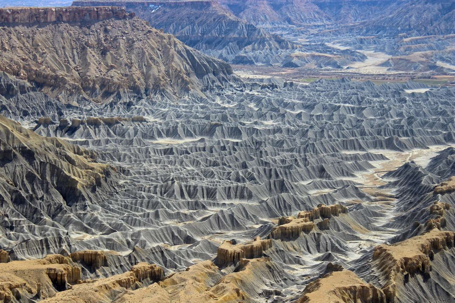
Erosion involves the removal of soil and rock by wind, water, or ice.
-
Weathering breaks down rocks into smaller particles through physical, chemical, or biological means.
-
Deposition occurs when eroded materials settle in a new location, forming new landforms.
-
Tectonic activities, such as earthquakes and volcanic eruptions, create and modify landforms.
Types of Landforms
Landforms are natural features of the Earth's surface. Geomorphologists classify them into various types.
-
Mountains are elevated areas formed by tectonic forces or volcanic activity.
-
Valleys are low areas between hills or mountains, often formed by river erosion.
-
Plateaus are flat, elevated areas that have been uplifted by tectonic forces.
-
Plains are extensive, flat areas often formed by sediment deposition.
-
Deserts are arid regions with minimal vegetation, shaped by wind erosion and deposition.
Tools and Techniques in Geomorphology
Modern geomorphologists use various tools and techniques to study landforms and processes.
-
Remote sensing involves using satellites and aerial photography to study Earth's surface.
-
Geographic Information Systems (GIS) help analyze spatial data and create detailed maps.
-
Radiometric dating techniques, like carbon dating, determine the age of rocks and sediments.
-
Field surveys involve on-site data collection and observation of landforms.
-
Computer models simulate geomorphic processes to predict future landscape changes.
Human Impact on Geomorphology
Human activities significantly influence geomorphic processes and landforms. Here are some facts about this impact.
-
Urbanization leads to increased erosion and sedimentation due to construction activities.
-
Deforestation accelerates soil erosion by removing vegetation that stabilizes the soil.
-
Mining activities alter landscapes by creating pits and waste piles.
-
Agriculture changes landforms through practices like terracing and irrigation.
Famous Geomorphological Sites
Some locations around the world are renowned for their unique geomorphological features.
-
The Grand Canyon in the USA is a prime example of river erosion over millions of years.
-
Mount Everest, the highest peak in the world, is a result of tectonic uplift.
-
The Sahara Desert in Africa showcases the effects of wind erosion and deposition.
-
The Great Barrier Reef in Australia is a massive coral reef system shaped by biological processes.
Geomorphology and Climate Change
Climate change affects geomorphic processes and landforms in various ways.
-
Rising sea levels lead to coastal erosion and the loss of land.
-
Increased rainfall can cause more frequent and severe landslides.
-
Melting glaciers contribute to rising sea levels and change river dynamics.
-
Desertification expands arid regions, altering landscapes and ecosystems.
Careers in Geomorphology
A career in geomorphology can be both exciting and rewarding. Here are some career facts.
-
Geomorphologists work in academia, conducting research and teaching.
-
Environmental consulting firms hire geomorphologists to assess and mitigate human impacts on landscapes.
-
Government agencies employ geomorphologists for land management and conservation projects.
-
Non-profit organizations focus on environmental protection and restoration, offering opportunities for geomorphologists.
-
Geomorphologists also work in the field of natural hazard assessment, studying risks like landslides and floods.
Future of Geomorphology
The future of geomorphology holds many exciting possibilities as technology advances and new challenges arise.
- Advances in remote sensing and GIS technology will enable more detailed and accurate studies of Earth's surface.
The Final Word on Geomorphology
Geomorphology isn't just about rocks and dirt. It's a fascinating field that helps us understand the Earth's surface, how it changes, and why it looks the way it does. From the formation of mountains to the erosion of coastlines, geomorphologists study processes that shape our planet. Knowing these facts can give us a deeper appreciation for natural landscapes and the forces at work behind them. Whether you're a student, a nature lover, or just curious, understanding geomorphology can enrich your view of the world. So next time you see a river carving its way through a valley or a glacier slowly moving across land, you'll know there's a lot more going on than meets the eye. Keep exploring, stay curious, and let the wonders of geomorphology inspire you.
Was this page helpful?
Our commitment to delivering trustworthy and engaging content is at the heart of what we do. Each fact on our site is contributed by real users like you, bringing a wealth of diverse insights and information. To ensure the highest standards of accuracy and reliability, our dedicated editors meticulously review each submission. This process guarantees that the facts we share are not only fascinating but also credible. Trust in our commitment to quality and authenticity as you explore and learn with us.