


Written by Pippa Beers
Modified & Updated: 07 Dec 2024
Reviewed by Sherman Smith
Remote sensing is a fascinating field that has revolutionized the way we gather information about our planet and beyond. Through the use of satellite imagery and other advanced technologies, remote sensing allows us to observe and analyze the Earth’s surface from a distance. This powerful tool has a wide range of applications, from monitoring weather patterns to studying changes in the environment and even exploring distant planets. In this article, we will explore 11 extraordinary facts about remote sensing that will not only amaze you but also highlight the importance of this technology in our daily lives. So, buckle up and get ready to dive into the world of remote sensing like never before!
Key Takeaways:
- Remote sensing uses cool technology like satellites and drones to take pictures of Earth from above. It helps us understand and protect the environment, grow more food, manage water, and even respond to natural disasters.
- By using remote sensing, scientists can study climate change, plan cities, find natural resources, and even protect wildlife. It’s like having a superpower to see and understand the Earth in amazing ways!
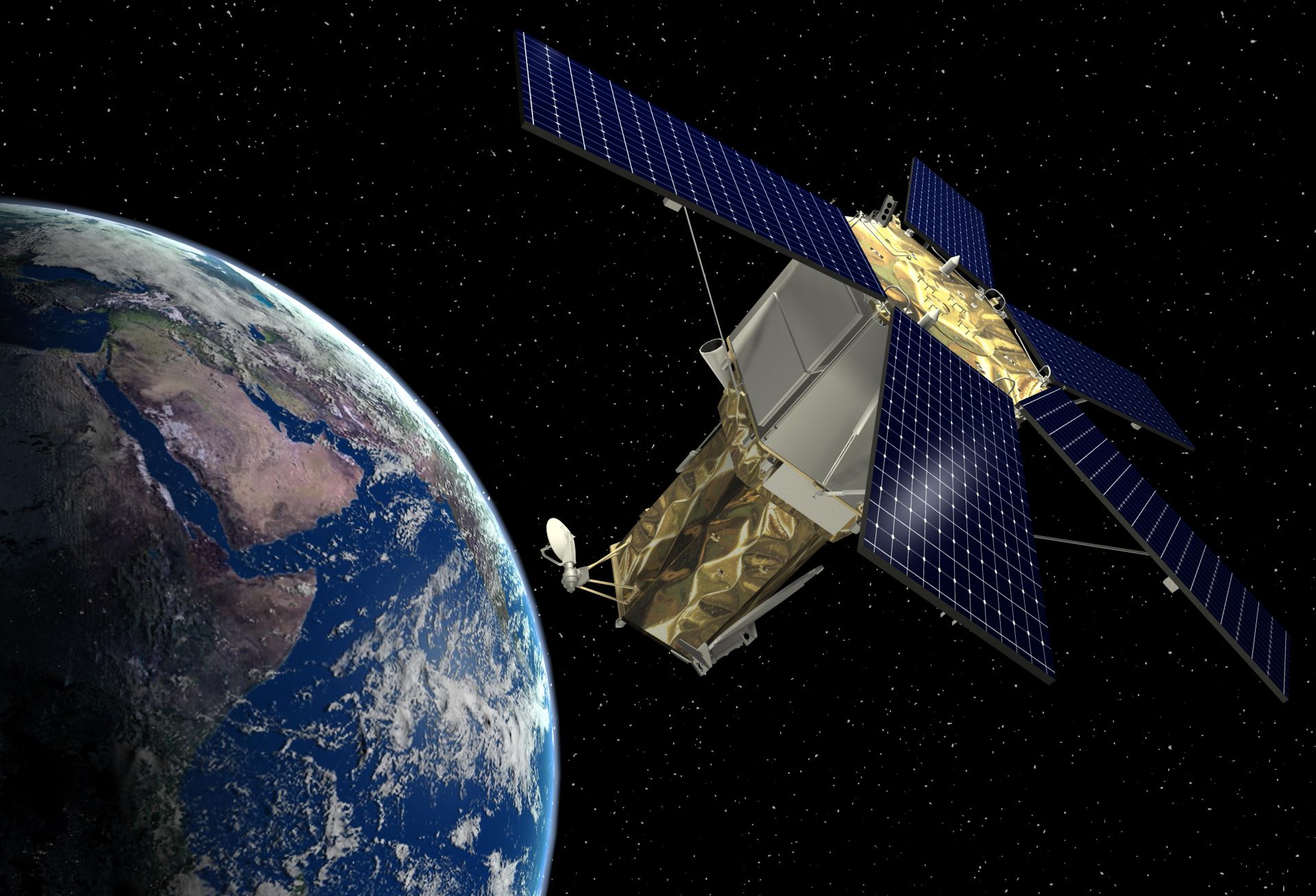
Remote sensing provides a unique perspective on our planet.
Through the use of satellites, aircraft, and even drones, remote sensing allows us to view the Earth from above, capturing images and data that reveal intricate details about our planet’s land, water, and atmosphere.
It enables us to monitor and understand environmental changes.
Remote sensing plays a vital role in tracking and studying environmental changes such as deforestation, urbanization, climate patterns, and natural disasters. By analyzing remote sensing data, scientists can better understand these changes and develop strategies for conservation and mitigation.
Remote sensing contributes to sustainable agriculture and food security.
With the help of remote sensing, farmers and agricultural experts can monitor crop health, soil moisture, and nutrient levels. This data allows for more efficient and targeted farming practices, resulting in increased crop yields and enhanced food security.
It aids in the management of water resources.
Remote sensing is instrumental in assessing and managing water resources. By monitoring water levels in rivers, lakes, and reservoirs, as well as tracking underground water storage, remote sensing helps in planning for irrigation, flood control, and water supply management.
Remote sensing plays a crucial role in disaster management.
During natural disasters such as hurricanes, earthquakes, and wildfires, remote sensing can provide real-time information on the extent of the damage, helping emergency responders and relief organizations prioritize their efforts and allocate resources effectively.
It contributes to the study of climate change.
Remote sensing data is invaluable in studying the Earth’s climate system. It helps scientists track temperature changes, monitor sea ice extent, measure carbon dioxide levels, and observe other key indicators of climate change, providing vital information for climate research and policy-making.
Remote sensing aids in urban planning and development.
By analyzing data on land use, population density, and infrastructure, remote sensing helps urban planners and policymakers make informed decisions about city growth, transportation systems, and resource allocation to ensure sustainable urban development.
It enables accurate mapping and cartography.
Remote sensing is essential for creating detailed and accurate maps. It allows cartographers to capture and analyze data on elevation, land cover, and terrain, providing the foundation for navigation systems, spatial analysis, and geographic information systems (GIS).
Remote sensing assists in natural resource exploration.
Using remote sensing techniques, geologists and exploration companies can identify potential mineral deposits, oil and gas reserves, and groundwater sources. This aids in the efficient and sustainable extraction of natural resources.
It plays a crucial role in wildlife and habitat conservation.
Remote sensing provides valuable insights into ecosystems and wildlife habitats, enabling scientists to monitor and protect endangered species, track migration patterns, and assess the impact of human activities on biodiversity.
Remote sensing is used in archaeology and cultural heritage preservation.
Archaeologists utilize remote sensing to uncover ancient ruins, buried sites, and cultural artifacts without disturbing the physical environment. This helps preserve our cultural heritage while shedding light on past civilizations.
Conclusion
Remote sensing is a revolutionary technology that has transformed the way we observe and analyze our planet. Through its ability to capture data from a distance, we have gained valuable insights into various aspects of Earth, from mapping land use and monitoring environmental changes to predicting weather patterns and managing natural disasters.
As our understanding of remote sensing continues to grow, so does its potential to address pressing global challenges such as climate change, food security, and urban planning. With advancements in satellite technology, data processing algorithms, and machine learning, remote sensing is poised to play an even larger role in shaping the future of our planet.
By harnessing the power of remote sensing, we can unlock a wealth of knowledge about our world, enabling smarter decision-making, resource management, and environmental conservation. The extraordinary facts about remote sensing showcased in this article only scratch the surface of what this technology can achieve. As we delve deeper into its possibilities, we can anticipate even more exciting advancements and discoveries in the coming years.
FAQs
1. What is remote sensing?
Remote sensing is a method of collecting data about the Earth’s surface using sensors mounted on satellites, aircraft, or other platforms. It involves capturing images and measuring various wavelengths of electromagnetic radiation to obtain information about the environment.
2. How is remote sensing used?
Remote sensing is used in various fields such as agriculture, forestry, urban planning, environmental monitoring, and disaster management. It helps in mapping land cover, monitoring vegetation health, assessing water quality, identifying potential natural hazards, among many other applications.
3. How does remote sensing work?
Remote sensing works by detecting and measuring the electromagnetic radiation emitted or reflected by objects on the Earth’s surface. Sensors on satellites capture this radiation, which is then processed into images and data that can be analyzed and interpreted by scientists.
4. What are some examples of remote sensing technologies?
Examples of remote sensing technologies include aerial photography, multispectral imaging, thermal infrared sensors, radar systems, and LiDAR. Each technology has its strengths and limitations, allowing for a wide range of applications.
5. What are the benefits of remote sensing?
Remote sensing provides a cost-effective way to collect data over large areas and at regular intervals. It allows for the monitoring of environmental changes, the identification of potential risks, and the assessment of human impacts on the planet. It also helps in making informed decisions about resource management, planning, and conservation.
6. What are the future prospects of remote sensing?
The future prospects of remote sensing are promising. Advancements in technology, such as higher-resolution sensors and improved data processing algorithms, will enable more detailed and accurate observations. Integration with artificial intelligence and machine learning will further enhance our ability to extract meaningful information from remote sensing data.
Was this page helpful?
Our commitment to delivering trustworthy and engaging content is at the heart of what we do. Each fact on our site is contributed by real users like you, bringing a wealth of diverse insights and information. To ensure the highest standards of accuracy and reliability, our dedicated editors meticulously review each submission. This process guarantees that the facts we share are not only fascinating but also credible. Trust in our commitment to quality and authenticity as you explore and learn with us.