


Written by Danica Fortner
Modified & Updated: 01 Oct 2024
Reviewed by Jessica Corbett
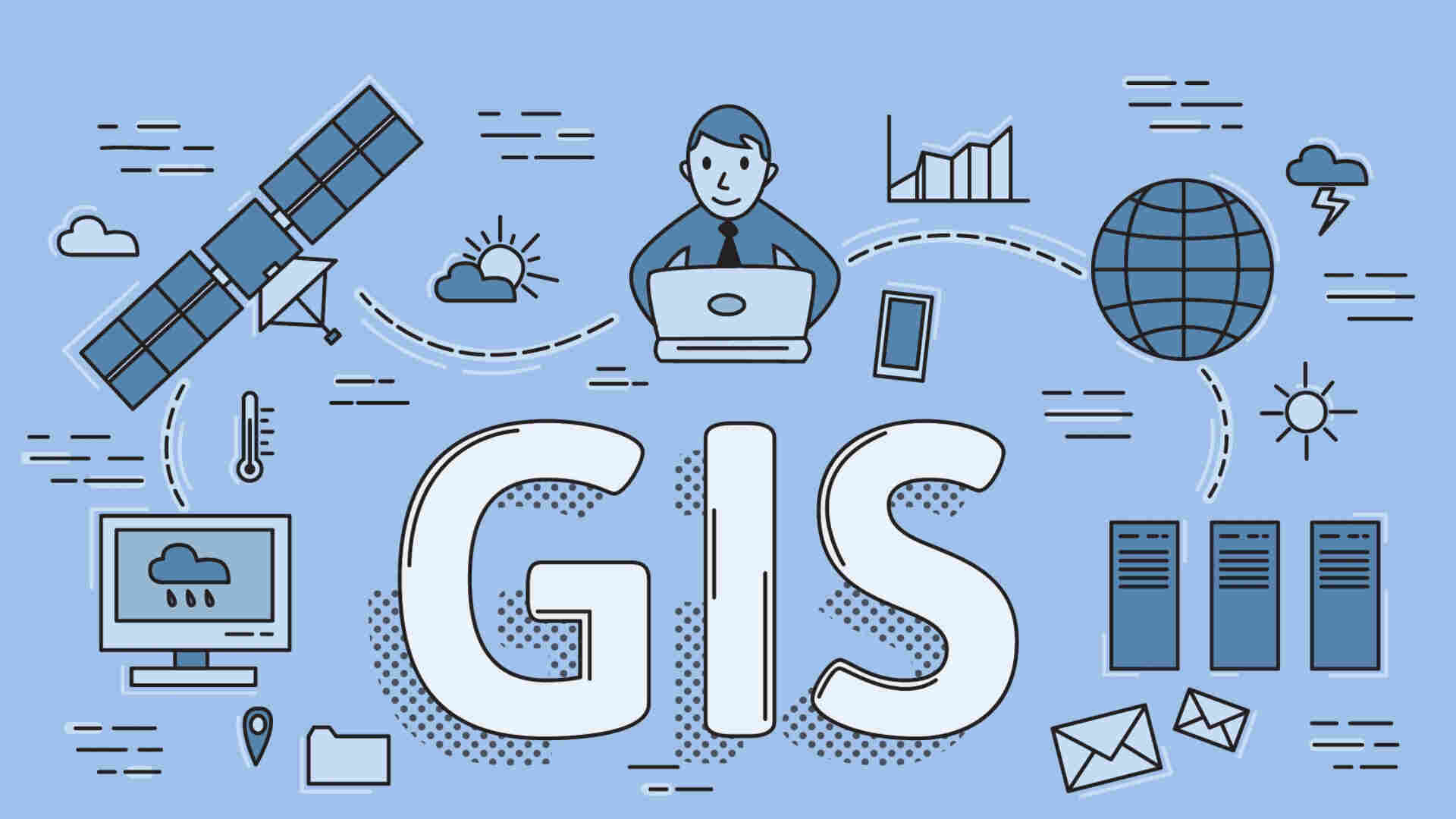
Geographic Information Systems (GIS) have revolutionized the way we understand and analyze geographical data. In today’s technologically driven world, GIS technology plays a crucial role in various sectors, from urban planning and environmental management to emergency response and transportation logistics. But how much do you really know about GIS? In this article, we will dive into the fascinating world of GIS and uncover 10 intriguing facts that showcase its capabilities and impact. So, whether you’re a geography enthusiast or simply curious about the power of technology in mapping and analyzing spatial data, get ready to be amazed by these GIS facts that will undoubtedly broaden your horizons.
Key Takeaways:
- GIS, or Geographic Information Systems, was born in the 1960s and has since become a powerful tool used in urban planning, wildlife conservation, GPS navigation, disaster management, and more.
- GIS technology helps create detailed maps, aids in precision farming, supports public health, and even assists law enforcement in analyzing crime patterns. It’s a versatile and essential tool for understanding our world.
The origins of GIS can be traced back to the 1960s.
GIS, or Geographic Information Systems, has a rich history that dates back to the 1960s. It was developed as a computer-based method to capture, store, manipulate, analyze, and present geospatial data. Since then, GIS has evolved into a powerful tool used in various industries, including urban planning, environmental studies, and emergency management.
GIS is used to create detailed maps and visualizations.
One of the primary purposes of GIS is to create accurate and detailed maps. By overlaying different layers of data, such as topography, land use, and demographics, GIS allows for the creation of visually appealing and informative maps. These maps can aid in decision-making processes, resource management, and spatial analysis.
GIS technology is used in GPS navigation systems.
Thanks to GIS technology, GPS navigation systems can provide users with real-time directions and location-based services. GIS data, including road networks, points of interest, and traffic patterns, is used to calculate the fastest and most efficient routes. This integration of GIS and GPS has revolutionized the way people navigate and explore the world.
GIS plays a crucial role in disaster management.
During times of crisis, GIS is instrumental in disaster management. It enables emergency response teams to analyze data regarding the affected areas, population density, infrastructure, and potential hazards. This information helps in organizing relief efforts, coordinating rescue operations, and planning evacuation routes, ultimately saving lives.
GIS is used in wildlife conservation and ecological research.
GIS has become an indispensable tool in wildlife conservation and ecological research. It allows scientists to analyze habitat patterns, track animal movements, and identify areas of high biodiversity. By understanding the spatial relationships between different species and their habitats, conservationists can develop effective strategies for protecting vulnerable ecosystems.
GIS is utilized in urban planning and development.
GIS enables urban planners to make informed decisions when it comes to zoning, land use, and infrastructure development. By mapping demographic data, transportation networks, and environmental factors, GIS helps in designing sustainable cities and ensuring efficient resource allocation. This fosters better urban planning and contributes to the development of livable communities.
GIS is used in agriculture for precision farming.
Agriculture has greatly benefited from the use of GIS technology, particularly in precision farming. By analyzing soil properties, climate conditions, and crop health, farmers can optimize their land management practices. GIS helps in determining the precise amounts of inputs, such as water, fertilizers, and pesticides, leading to increased crop yields and reduced environmental impact.
GIS data assists in crime analysis and law enforcement.
Law enforcement agencies rely on GIS data to analyze crime patterns, identify hotspots, and allocate resources effectively. By visualizing crime incidents on a map, GIS helps in understanding the spatial distribution of criminal activity. This information aids in deploying police forces strategically, improving response times, and ultimately enhancing public safety.
GIS technology supports natural resource management.
GIS is instrumental in managing and preserving natural resources. It allows for the analysis of forests, water bodies, and mineral deposits, aiding in sustainable resource extraction and conservation efforts. By integrating GIS with other data sources, scientists and policymakers can make informed decisions on resource management practices.
GIS is used in public health for disease mapping and analysis.
In the field of public health, GIS plays a crucial role in disease mapping and analysis. By mapping disease outbreaks, monitoring the spread of infections, and analyzing healthcare access, GIS helps public health professionals to develop targeted intervention strategies. This proactive approach to disease control facilitates early detection and response, minimizing the impact on communities.
Conclusion
In conclusion, Geographic Information Systems (GIS) are incredibly fascinating and versatile tools that have revolutionized the way we gather, analyze, and interpret geographical data. With GIS technology, we are able to uncover hidden patterns, make informed decisions, and understand complex spatial relationships.Through this article, we have discovered 10 fascinating facts about GIS:1. GIS integrates various types of data: GIS can combine different data sources such as maps, satellite images, and demographic information, providing a comprehensive view of any given area.2. GIS is used across diverse industries: From urban planning and environmental management to logistics and marketing, GIS has extensive applications in a wide range of fields.3. GIS enhances decision-making: By analyzing spatial data, GIS helps policymakers and organizations make informed decisions based on accurate and relevant information.4. GIS is used for disaster management: During natural disasters, GIS helps emergency response teams allocate resources efficiently and plan evacuation routes.5. GIS aids in wildlife conservation: By mapping habitats and analyzing animal movement patterns, GIS plays a crucial role in protecting endangered species.6. GIS plays a key role in transportation planning: Urban planners and traffic management authorities use GIS to optimize routes and improve traffic flow.7. GIS helps track the spread of diseases: GIS provides real-time monitoring of disease outbreaks, helping health organizations respond effectively and implement preventive measures.8. GIS can simulate scenarios: By modeling and simulating different scenarios, GIS helps predict outcomes and plan for future developments.9. GIS enables effective market analysis: Retailers and marketers use GIS to identify target demographics, analyze market trends, and plan store locations.10. GIS promotes citizen engagement: Interactive maps and geospatial data allow citizens to actively participate in community planning and decision-making processes.Overall, GIS technology continues to transform our understanding of the world around us, enabling us to make more informed and sustainable choices.
FAQs
1. What is GIS?
Geographic Information Systems (GIS) are computerized systems that capture, store, analyze, and display geographical data.
2. How is GIS used in urban planning?
GIS is used in urban planning to analyze existing infrastructure, determine suitable locations for new developments, and assess the impact on the environment.
3. Can GIS help with environmental management?
Yes, GIS is widely used in environmental management. It aids in monitoring and assessing environmental changes, tracking wildlife populations, and identifying areas for conservation efforts.
4. Is GIS only used by professionals?
No, GIS is becoming increasingly user-friendly, and there are various applications and platforms available for individuals to explore and utilize GIS data.
5. Can GIS be used on mobile devices?
Yes, many GIS applications and platforms are compatible with mobile devices, allowing users to access and utilize data in the field.
Was this page helpful?
Our commitment to delivering trustworthy and engaging content is at the heart of what we do. Each fact on our site is contributed by real users like you, bringing a wealth of diverse insights and information. To ensure the highest standards of accuracy and reliability, our dedicated editors meticulously review each submission. This process guarantees that the facts we share are not only fascinating but also credible. Trust in our commitment to quality and authenticity as you explore and learn with us.