Turn Your Curiosity Into Discovery
Airlines
Facts
Celebrity
Facts
Characters
Facts
Pokemon
Facts
Culture & The Arts
Facts
Games and Toys
Facts
Mass Media
Facts
Performing Arts
Facts
Visual Arts
Facts
Earth & Life Science
Facts
Biology
Facts
Earth Sciences
Facts
Nature
Facts
Physical Sciences
Facts
Events
Facts
Fitness & Wellbeing
Facts
Dentistry
Facts
Exercise
Facts
Health Science
Facts
Hygiene
Facts
Medicine
Facts
Nutrition
Facts
Psychology
Facts
Public Health
Facts
General
History
Facts
Culture
Facts
Historical Events
Facts
People
Facts
Religion
Facts
Human Activities
Facts
Human Activities
Facts
Impact of Human Activity
Facts
Lifestyle
Facts
Entertainment
Facts
Food
Facts
Health
Facts
Sports
Facts
Mathematics & Logic
Facts
Fields of Mathematics
Facts
Mathematical Sciences
Facts
Mathematics
Facts
Movie
Facts
Nature
Facts
Animals
Facts
Human Body
Facts
Plants
Facts
Universe
Facts
Philosophy & Thinking
Facts
Philosophy
Facts
Thinking Skills
Facts
Reviews
Facts
Science
Facts
Biology
Facts
Chemistry
Facts
Geography
Facts
Physics
Facts
Technology
Facts
Society & Social Sciences
Facts
Social Sciences
Facts
Society
Facts
Tech & Sciences
Facts
Agriculture
Facts
Computing
Facts
Electronics
Facts
Engineering
Facts
Transport
Facts
World
Facts
Cities
Facts
Countries
Facts
Landmarks
Facts
US States
Facts
All Categories
Everything Else
Facts
Forum
Gallery
Quotes
Latest Facts
Sports
31 Jan 2026
30 Facts About LSU Basketball
Sports
31 Jan 2026
25 Facts About KC Boutiette
Home
Science
Facts
Geography
Facts
Geography Facts
Geography
23 Jan 2026
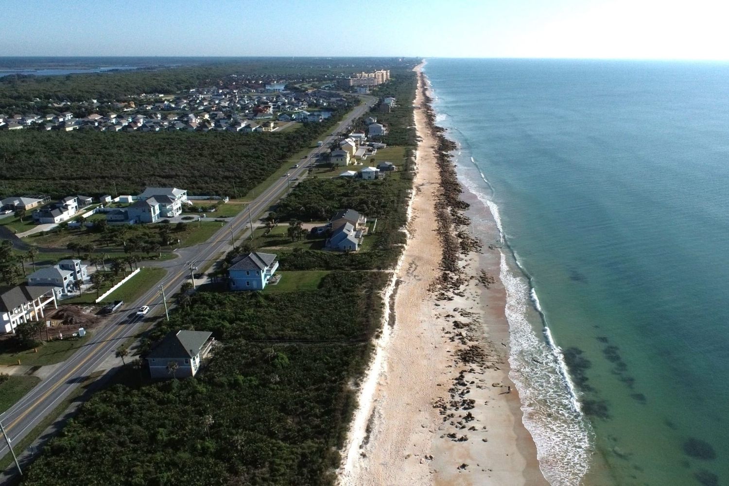
25 Facts About Flagler County
Geography
20 Jan 2026
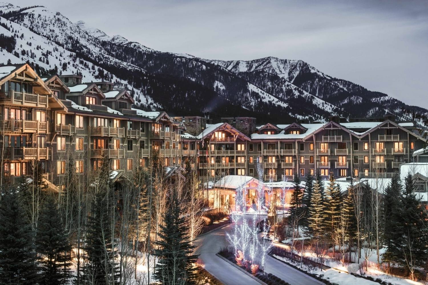
30 Facts About Jackson Hole Wyoming
Geography
20 Jan 2026
25 Facts About Henry County
Geography
18 Jan 2026
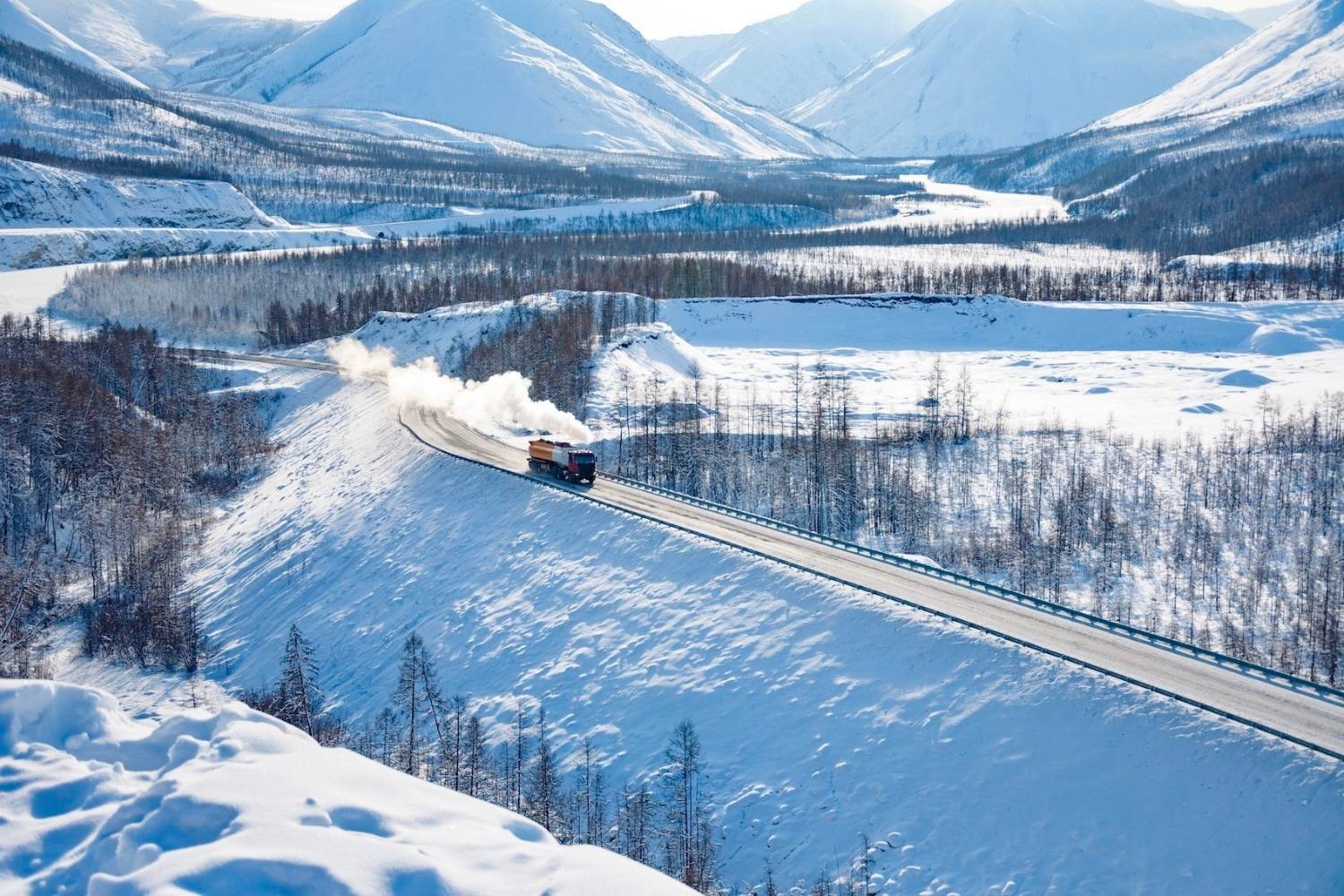
25 Facts About Yakutia
Geography
09 Jan 2026
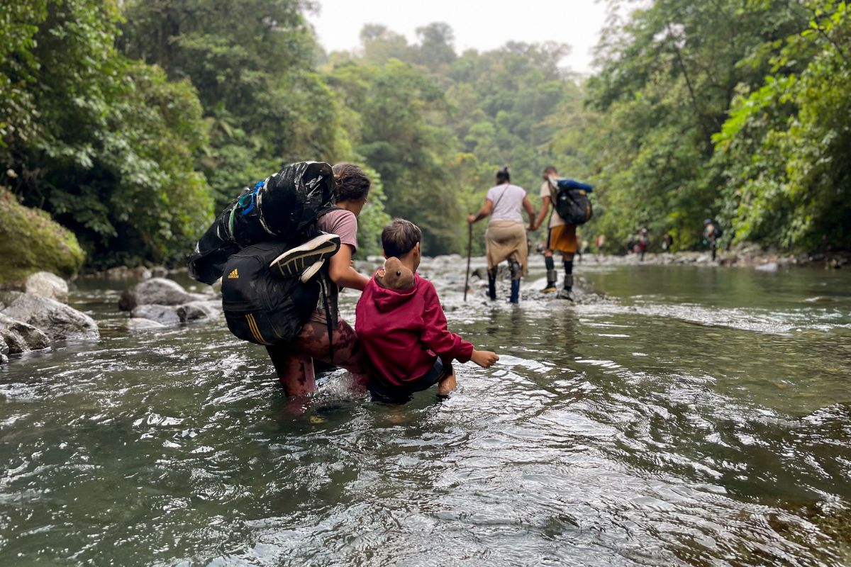
25 Facts About The Darin Gap
Geography
28 Dec 2025
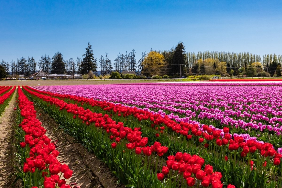
25 Facts About Skagit County
Geography
09 Dec 2025
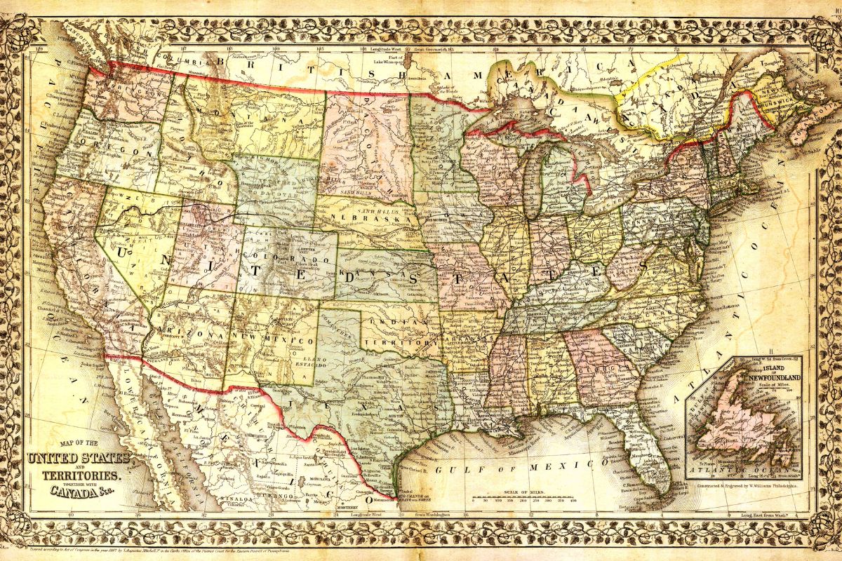
25 Facts About The USA Map
Geography
24 Nov 2025
30 Facts About The Mediterranean
Geography
24 Nov 2025
30 Facts About New South Wales NSW
Geography
24 Nov 2025
30 Facts About Shandong Province
Geography
22 Nov 2025
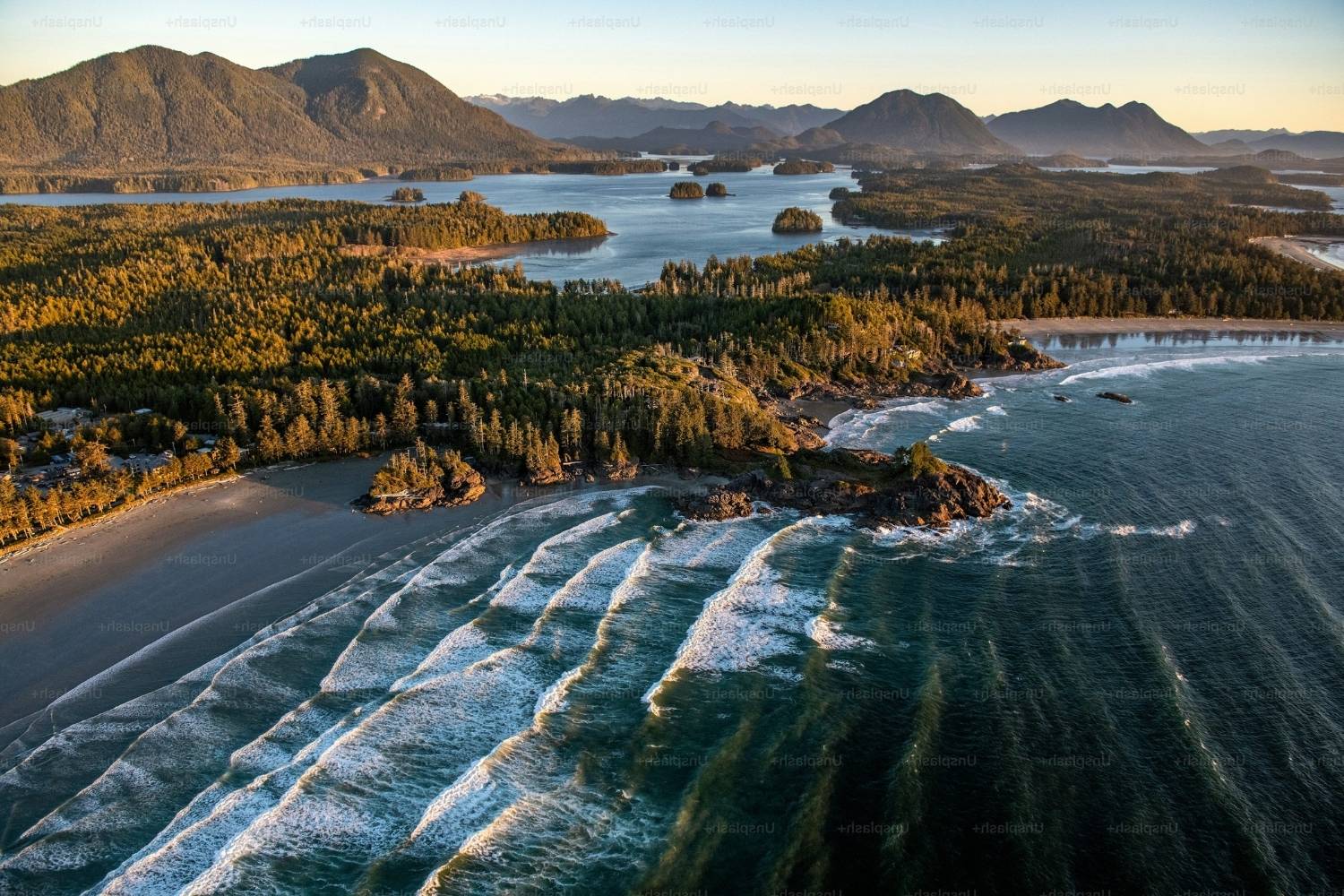
30 Facts About Vancouver Island
Geography
01 Nov 2025
24 Facts About The Qatar Air Force Base Idaho
Geography
31 Oct 2025
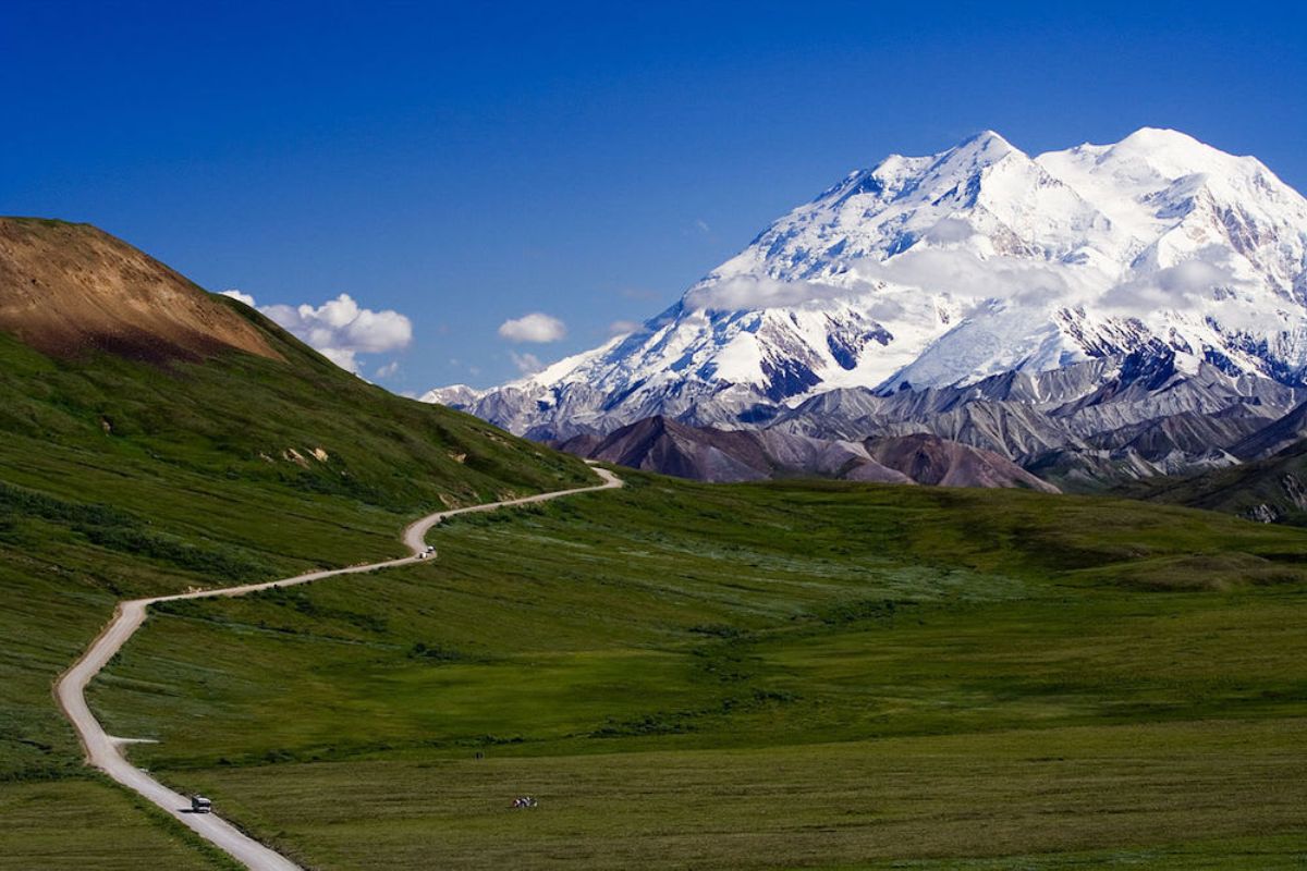
35 Facts About The Last Frontier Alaska
Geography
24 Oct 2025
33 Facts About Marion County
Geography
13 Oct 2025
36 Facts About DeKalb County
Geography
22 Sep 2025
30 Facts About Lourdes
Geography
12 Sep 2025
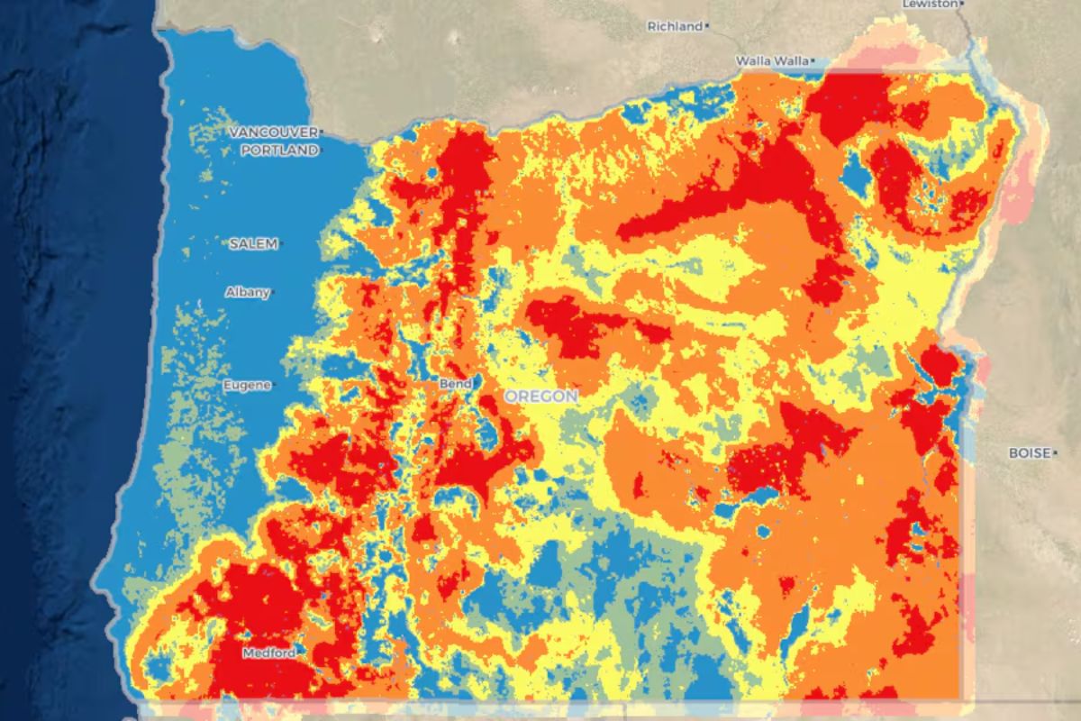
20 Facts About The Oregon Fire Map
Geography
12 Sep 2025
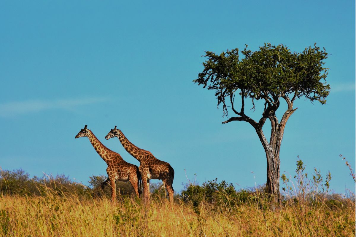
50 Facts About Africa
Geography
09 Sep 2025
10 Facts About Forest Lodge
Geography
08 Sep 2025
15 Facts About Candlewood Lake
Geography
08 Sep 2025
15 Facts About Kane County
Geography
05 Sep 2025
25 Facts About The Gaza Strip
Geography
01 Sep 2025
26 Facts About Buffalo Weather
Geography
31 Aug 2025
10 Facts About Celebration Key Carnival Cruise Line Destination
Geography
31 Aug 2025
25 Facts About Crimea
Geography
27 Aug 2025
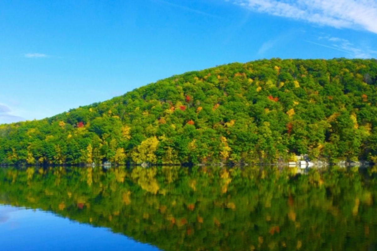
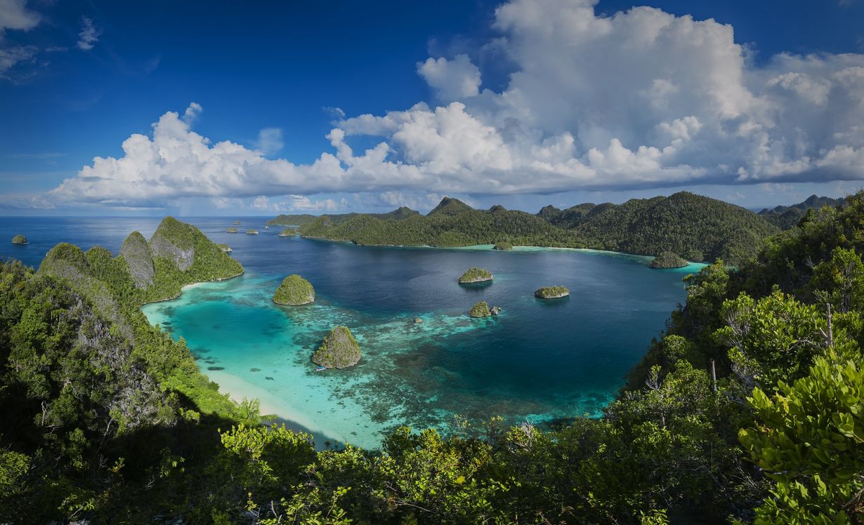
40 Facts About New Guinea
Geography
27 Aug 2025
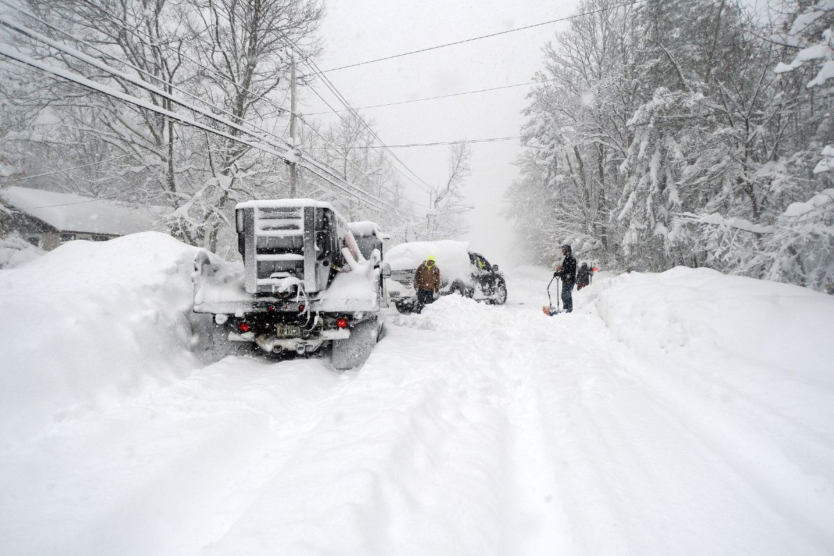
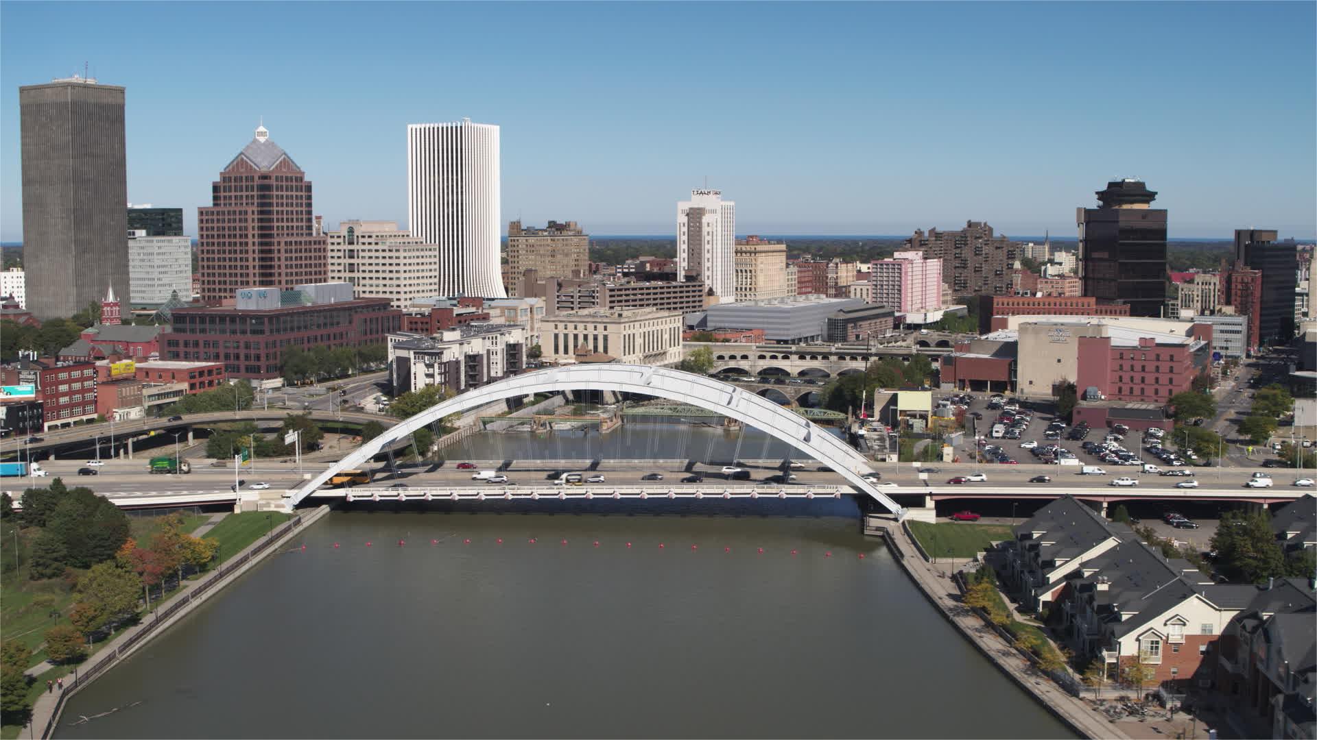
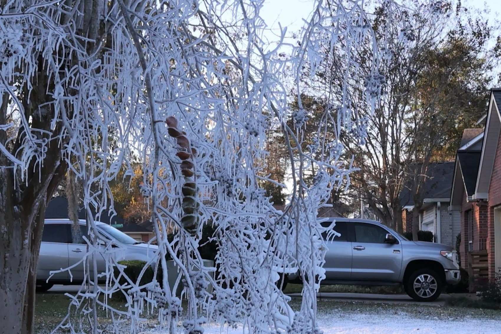
26 Facts About Rochester Weather
Geography
22 Aug 2025
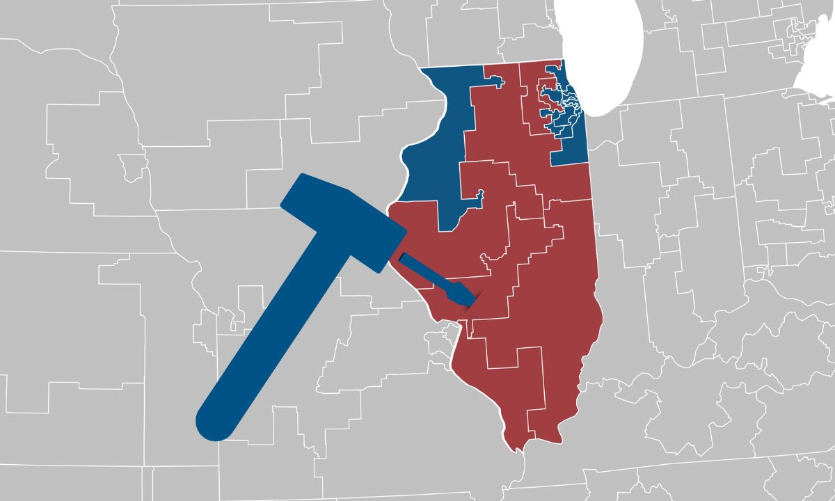
35 Facts About Illinois Congressional Districts
Geography
22 Aug 2025
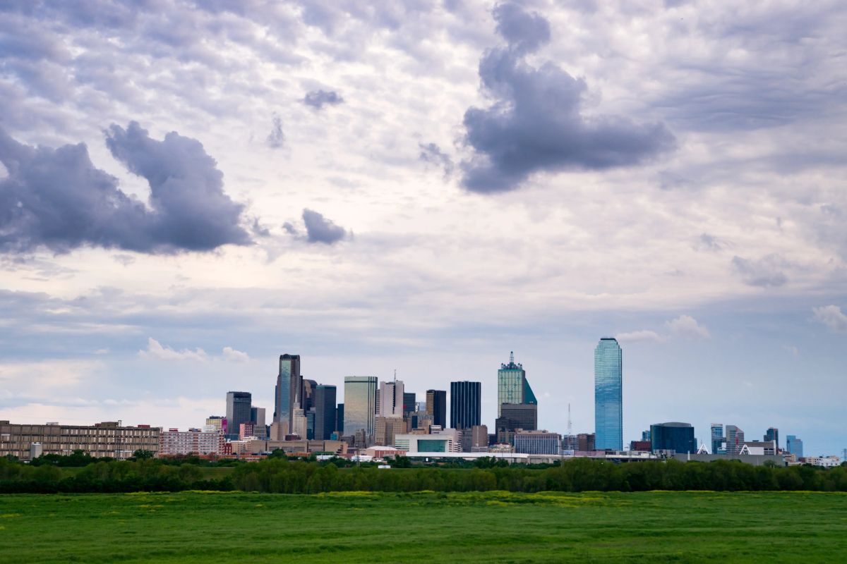
30 Facts About Fort Worth Weather
Geography
22 Aug 2025
30 Facts About Tallahassee Weather
Geography
22 Aug 2025
24 Facts About Pittsylvania County
Geography
20 Aug 2025
26 Facts About Cotswolds UK Region
Geography
11 Aug 2025
25 Facts About Canary Islands
Geography
07 Aug 2025
30 Facts About Alachua County
Geography
01 Aug 2025
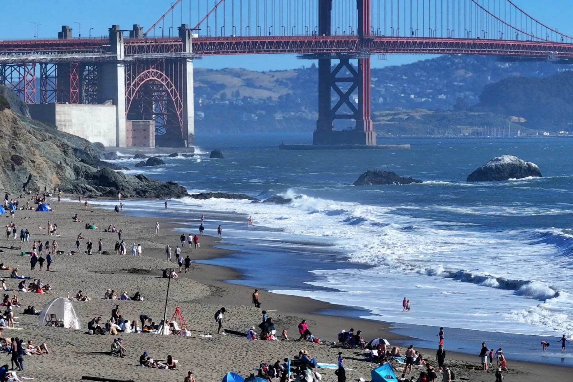
50 Facts About San Francisco Weather
Geography
01 Aug 2025
35 Facts About Bibb County
Geography
30 Jul 2025
30 Facts About Dante VA
Geography
29 Jul 2025
40 Facts About Forsyth County
Geography
29 Jul 2025
50 Facts About Dagestan
Geography
29 Jul 2025
25 Facts About Waianae Hawaii
Geography
29 Jul 2025
60 Facts About The Great Lakes
Geography
28 Jul 2025
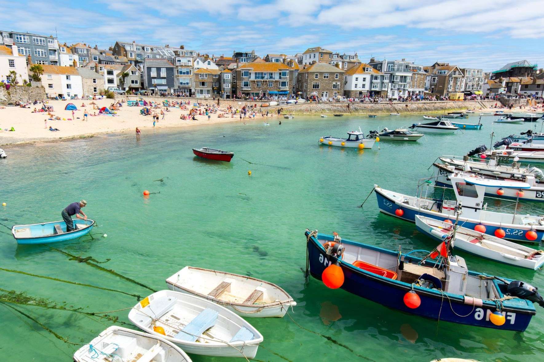
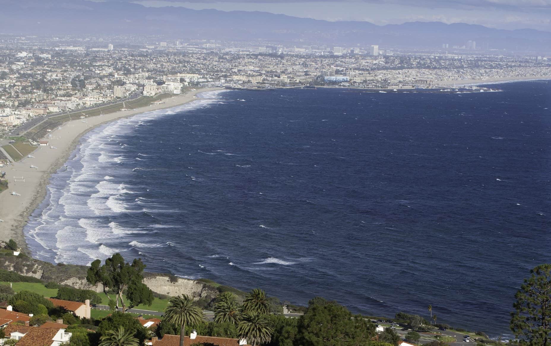
25 Facts About Beach
Geography
26 Jul 2025
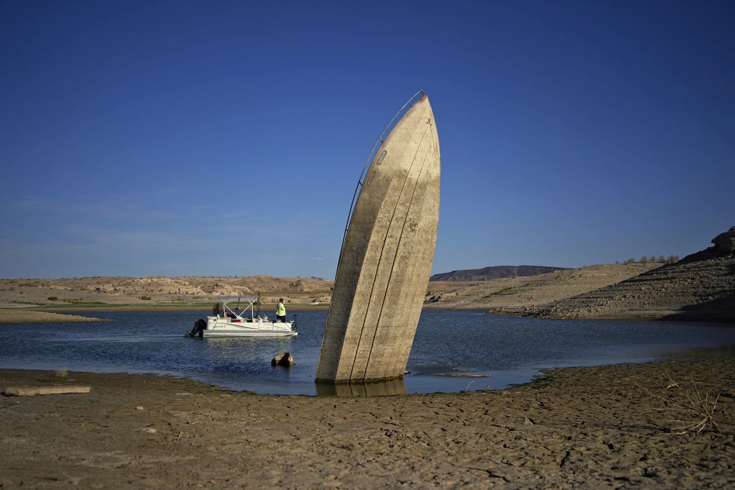
50 Facts About Lake Mead
Geography
26 Jul 2025
30 Facts About Cleveland Weather
Geography
26 Jul 2025
20 Facts About Nassau County
Geography
25 Jul 2025
20 Facts About Hillsborough County
Geography
25 Jul 2025
40 Facts About Devon
Geography
22 Jul 2025
25 Facts About Royal Portrush Weather Trends
Geography
22 Jul 2025
35 Facts About Bay County
Geography
21 Jul 2025
20 Facts About Nadu
Posts navigation
1
2
…
14
Next
Trending Facts
General
16 Jan 2020
300 Crazy Fun Facts To Start Your Day
General
06 Feb 2020
100 Interesting Facts That Will Boggle Your Mind
General
31 Jan 2020
300 Random Facts No One Knows What To Do With
General
07 Feb 2020
100 Nutrition Facts To An Easier And Healthier Lifestyle
General
04 Feb 2020
100 Amazing Facts That Will Blow Your Mind
General
31 Jan 2020
300 WTF Facts That Will Make You Question Everything
General
17 Jan 2020
300 Weird Facts To Confuse And Amaze You
General
07 Feb 2020
100 Did You Know Facts Most People Have Never Heard About


16 Jan 2020
06 Feb 2020
31 Jan 2020
07 Feb 2020
04 Feb 2020
31 Jan 2020
17 Jan 2020
07 Feb 2020