
Written by Sonja Coffey
Modified & Updated: 05 Mar 2024
Reviewed by Sherman Smith
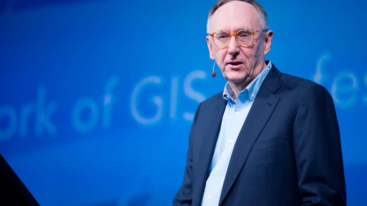
Jack Dangermond is a name that is synonymous with the world of Geographic Information Systems (GIS). As the co-founder and President of Esri, a leading software company specializing in mapping and spatial analytics, Dangermond has revolutionized the way we understand and interact with geography. With his visionary leadership and innovative approach, he has transformed the field of GIS into a powerful tool used by governments, businesses, and individuals worldwide.
In this article, we will delve into the life and achievements of Jack Dangermond, uncovering 15 astounding facts that highlight his influence and impact on the world of geospatial technology. From his humble beginnings to his groundbreaking contributions, Dangermond’s journey is nothing short of inspirational. So, sit back, and prepare to be amazed by the man behind the GIS revolution.
Key Takeaways:
- Jack Dangermond, the founder of ESRI, revolutionized GIS technology, impacting urban planning, conservation, and disaster response globally. His passion for geography inspires future geospatial professionals.
- Through ESRI, Jack Dangermond’s visionary leadership and philanthropy have advanced GIS technology, aided conservation efforts, and supported humanitarian aid, making a global impact on society and the environment.
Early Life and Education
Jack Dangermond was born and raised in Redlands, California. He developed a passion for geography and mapping from a young age, which eventually led him to pursue a degree in landscape architecture at Harvard University.
Founding of Environmental Systems Research Institute (ESRI)
In 1969, Dangermond and his wife Laura founded ESRI, a company that specializes in geographic information system (GIS) software and solutions. It has since become a global leader in the field.
Pioneering GIS Technology
Dangermond played a pivotal role in popularizing GIS technology and making it accessible to various industries. His innovative contributions revolutionized how spatial data is collected, analyzed, and visualized.
Geographic Impact
Through ESRI, Dangermond has had a profound impact on how people understand and engage with geographical data. His work has enabled better urban planning, environmental conservation, disaster response, and more.
Global Reach
ESRI’s software is used by organizations and governments worldwide. From mapping remote areas to managing urban infrastructure, Dangermond’s influence can be felt across the globe.
Visionary Leadership
Dangermond’s visionary leadership has guided ESRI’s growth and success for over five decades. He continues to actively shape the company’s direction and promote the use of GIS for societal benefit.
Commitment to Education
Recognizing the importance of education in GIS, Dangermond has supported numerous educational programs and initiatives. He aims to empower the next generation of geospatial professionals.
Philanthropic Endeavors
Jack Dangermond and his wife Laura are prominent philanthropists, supporting environmental and conservation causes. Their generosity has contributed to sustainable development and environmental stewardship.
Awards and Recognition
Dangermond’s contributions to GIS and his commitment to making a global impact have earned him numerous awards and accolades. He has been recognized as a true pioneer in the field.
Devotion to Conservation
Jack Dangermond has a deep passion for conservation. Through ESRI’s technology, he has facilitated the mapping and monitoring of various ecosystems, aiding in environmental protection efforts.
GIS for Humanitarian Aid
Dangermond and ESRI have made significant contributions to humanitarian aid efforts through the use of GIS. Their technology has helped in disaster response, public health initiatives, and poverty alleviation.
Collaborations and Partnerships
Throughout his career, Dangermond has fostered collaborations with organizations, governments, and individuals. By working together, they have been able to address complex societal and environmental challenges.
Continuing Innovation
ESRI under Dangermond’s leadership remains at the forefront of GIS technology. The company consistently pushes boundaries, developing new tools and solutions to empower users worldwide.
Influence on Data-driven Decision Making
Dangermond’s work has contributed to a greater emphasis on data-driven decision making in various sectors. His efforts have helped organizations make informed choices based on spatial analysis and insights.
Inspirational Figure
Jack Dangermond’s remarkable journey, passion for geography, and dedication to making a positive impact serve as an inspiration to aspiring geospatial professionals around the world.
Conclusion
These astounding facts about Jack Dangermond reveal the incredible journey and impact he has made in the world of technology and environmental conservation. From founding Esri and pioneering GIS technology to his philanthropic efforts, Dangermond’s contributions have left a lasting mark. His dedication to making valuable geospatial information accessible to all, along with his focus on sustainable development, demonstrates a drive for positive change. As Dangermond continues to inspire and innovate, we can expect even greater things to come from this remarkable individual.
FAQs
Q: How did Jack Dangermond start his career?
A: Jack Dangermond started his career by co-founding Environmental Systems Research Institute (Esri) in 1969. He and his wife, Laura Dangermond, began by creating a system to process and visualize land-use data.
Q: What is GIS technology, and why is it important?
A: GIS stands for Geographic Information System. It is a technology that captures, stores, analyzes, and visualizes geographical data, allowing us to better understand our world and make informed decisions. GIS technology is crucial in various fields such as urban planning, disaster management, environmental conservation, and more.
Q: How has Jack Dangermond contributed to environmental conservation?
A: Jack Dangermond has contributed to environmental conservation through his work at Esri, promoting the use of GIS technology to monitor and manage natural resources. He has also established the Dangermond Preserve, a conservation area dedicated to preserving wildlife and habitats.
Q: What philanthropic efforts has Jack Dangermond been involved in?
A: Jack Dangermond and his wife, Laura Dangermond, have been actively involved in philanthropy. They have established the Redlands Conservancy and the Dangermond Group Foundation, which support various causes related to conservation, education, and social equity.
Q: What is Jack Dangermond’s vision for the future?
A: Jack Dangermond’s vision for the future revolves around using GIS technology to create a sustainable and resilient world. He believes that by harnessing the power of geospatial information, we can address global challenges and promote positive change in society.
Was this page helpful?
Our commitment to delivering trustworthy and engaging content is at the heart of what we do. Each fact on our site is contributed by real users like you, bringing a wealth of diverse insights and information. To ensure the highest standards of accuracy and reliability, our dedicated editors meticulously review each submission. This process guarantees that the facts we share are not only fascinating but also credible. Trust in our commitment to quality and authenticity as you explore and learn with us.