Turn Your Curiosity Into Discovery
Airlines
Facts
Celebrity
Facts
Characters
Facts
Pokemon
Facts
Culture & The Arts
Facts
Games and Toys
Facts
Mass Media
Facts
Performing Arts
Facts
Visual Arts
Facts
Earth & Life Science
Facts
Biology
Facts
Earth Sciences
Facts
Nature
Facts
Physical Sciences
Facts
Events
Facts
Fitness & Wellbeing
Facts
Dentistry
Facts
Exercise
Facts
Health Science
Facts
Hygiene
Facts
Medicine
Facts
Nutrition
Facts
Psychology
Facts
Public Health
Facts
General
History
Facts
Culture
Facts
Historical Events
Facts
People
Facts
Religion
Facts
Human Activities
Facts
Human Activities
Facts
Impact of Human Activity
Facts
Lifestyle
Facts
Entertainment
Facts
Food
Facts
Health
Facts
Sports
Facts
Mathematics & Logic
Facts
Fields of Mathematics
Facts
Mathematical Sciences
Facts
Mathematics
Facts
Movie
Facts
Nature
Facts
Animals
Facts
Human Body
Facts
Plants
Facts
Universe
Facts
Philosophy & Thinking
Facts
Philosophy
Facts
Thinking Skills
Facts
Reviews
Facts
Science
Facts
Biology
Facts
Chemistry
Facts
Geography
Facts
Physics
Facts
Technology
Facts
Society & Social Sciences
Facts
Social Sciences
Facts
Society
Facts
Tech & Sciences
Facts
Agriculture
Facts
Computing
Facts
Electronics
Facts
Engineering
Facts
Transport
Facts
World
Facts
Cities
Facts
Countries
Facts
Landmarks
Facts
US States
Facts
All Categories
Everything Else
Facts
Forum
Gallery
Quotes
Latest Facts
Sports
31 Jan 2026
30 Facts About LSU Basketball
Sports
31 Jan 2026
25 Facts About KC Boutiette
Home
Science
Facts
Science Facts
Biology
Facts
Chemistry
Facts
Geography
Facts
Physics
Facts
Technology
Facts
Technology
27 Jan 2026
25 Facts About Okta
Technology
24 Jan 2026
25 Facts About Groq
Geography
23 Jan 2026
25 Facts About Flagler County
Technology
20 Jan 2026
25 Facts About Santa Tracker NORAD
Geography
20 Jan 2026
30 Facts About Jackson Hole Wyoming
Geography
20 Jan 2026
25 Facts About Henry County
Technology
19 Jan 2026
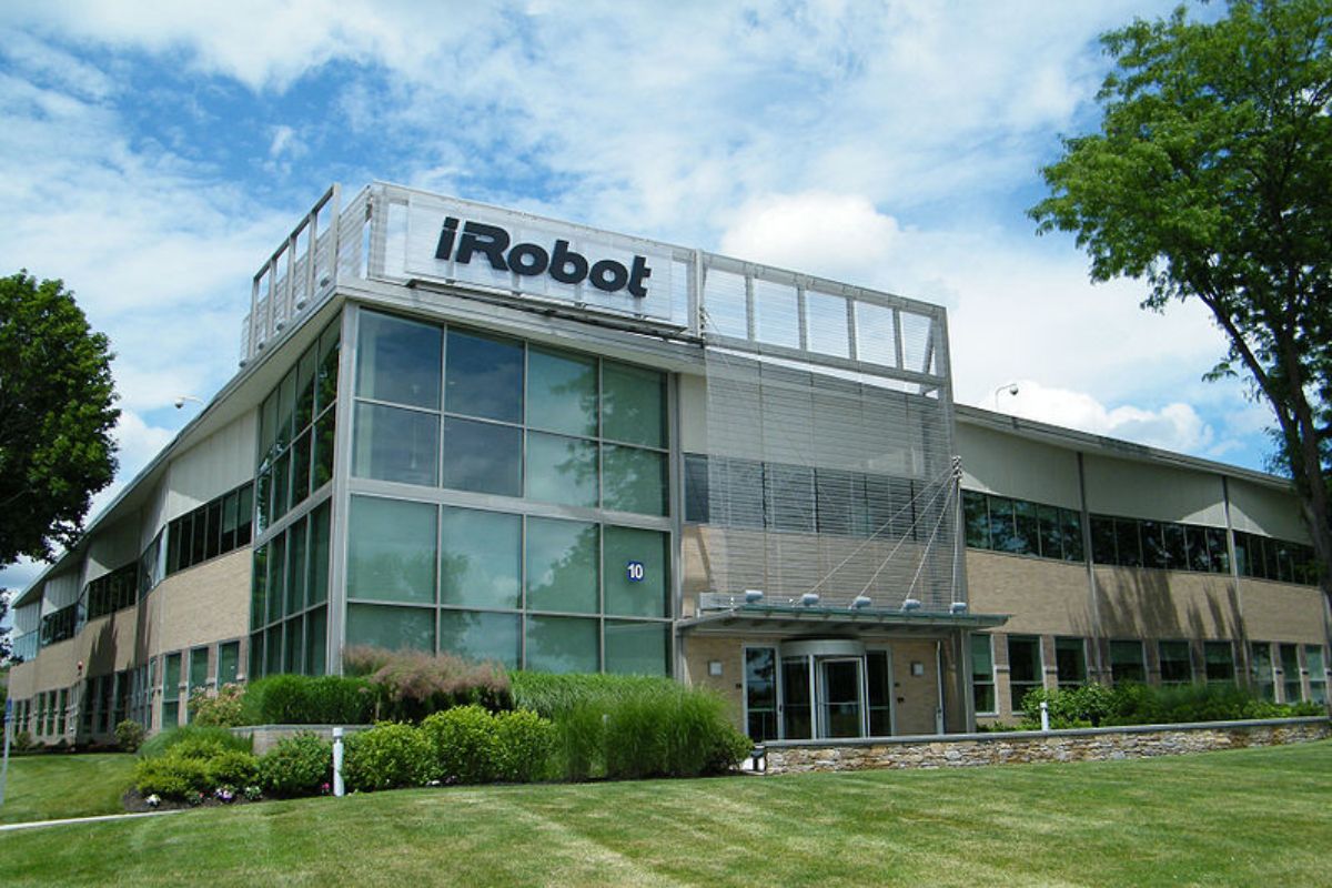
25 Facts About IRobot
Technology
19 Jan 2026
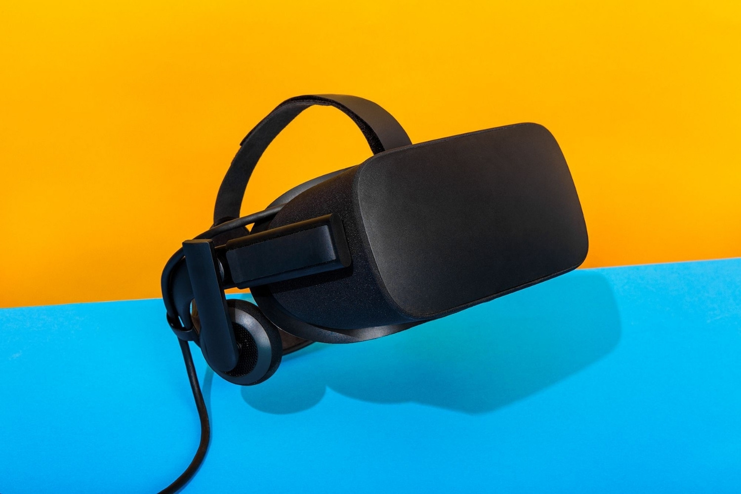
25 Facts About VR Virtual Reality
Technology
19 Jan 2026
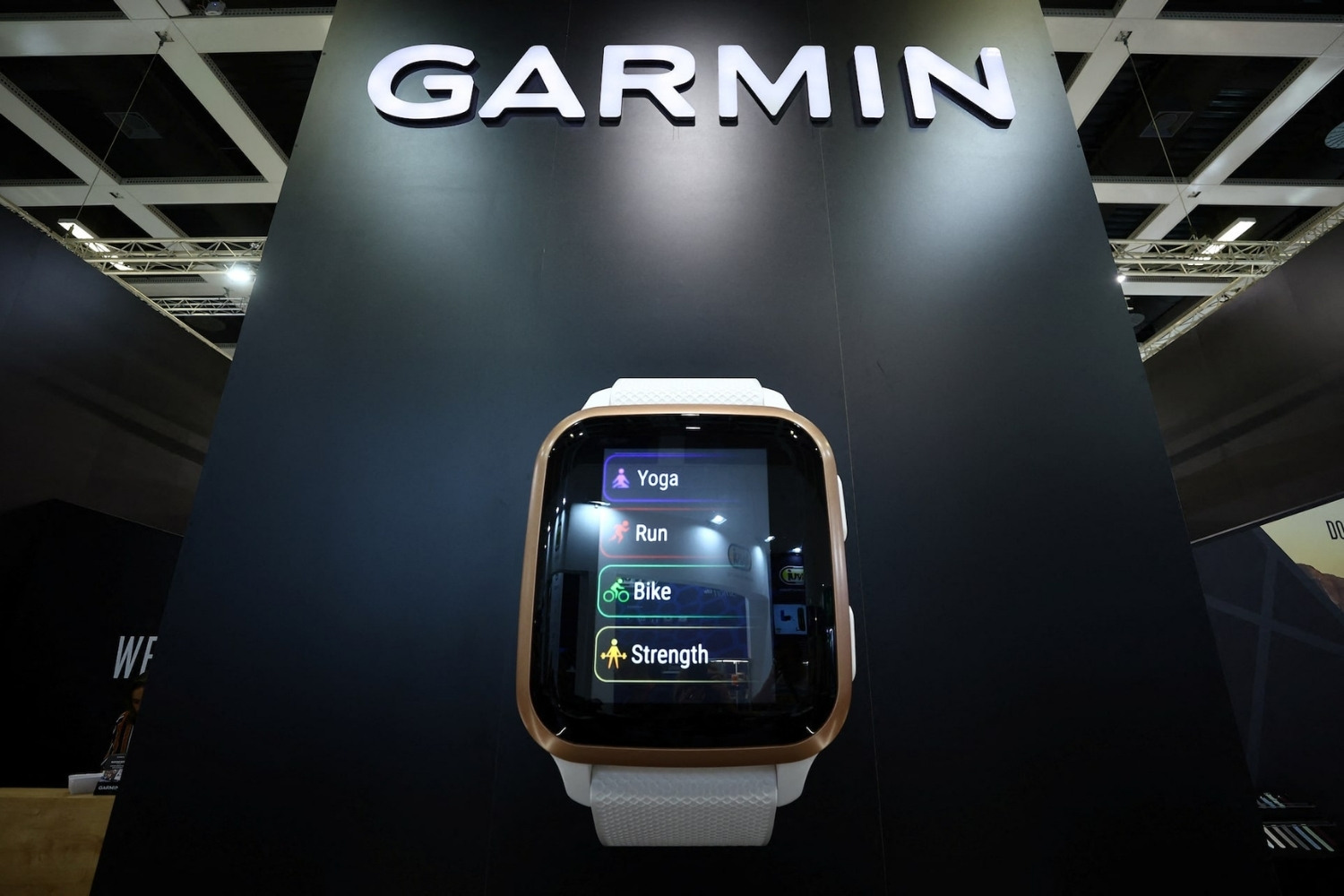
25 Facts About Garmin
Geography
18 Jan 2026
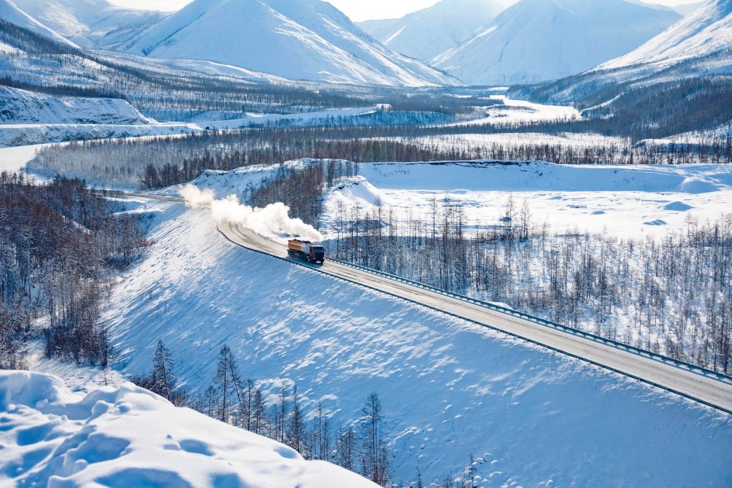
25 Facts About Yakutia
Science
12 Jan 2026
25 Facts About NCAR
Geography
09 Jan 2026
25 Facts About The Darin Gap
Technology
05 Jan 2026
25 Facts About Samsara
Technology
04 Jan 2026
25 Facts About Brex
Technology
03 Jan 2026
30 Facts About Robinhood
Technology
01 Jan 2026
25 Facts About Conduent
Technology
28 Dec 2025
25 Facts About Ripple
Geography
28 Dec 2025
25 Facts About Skagit County
Technology
16 Dec 2025
25 Facts About Glock Gen 6 Pistols
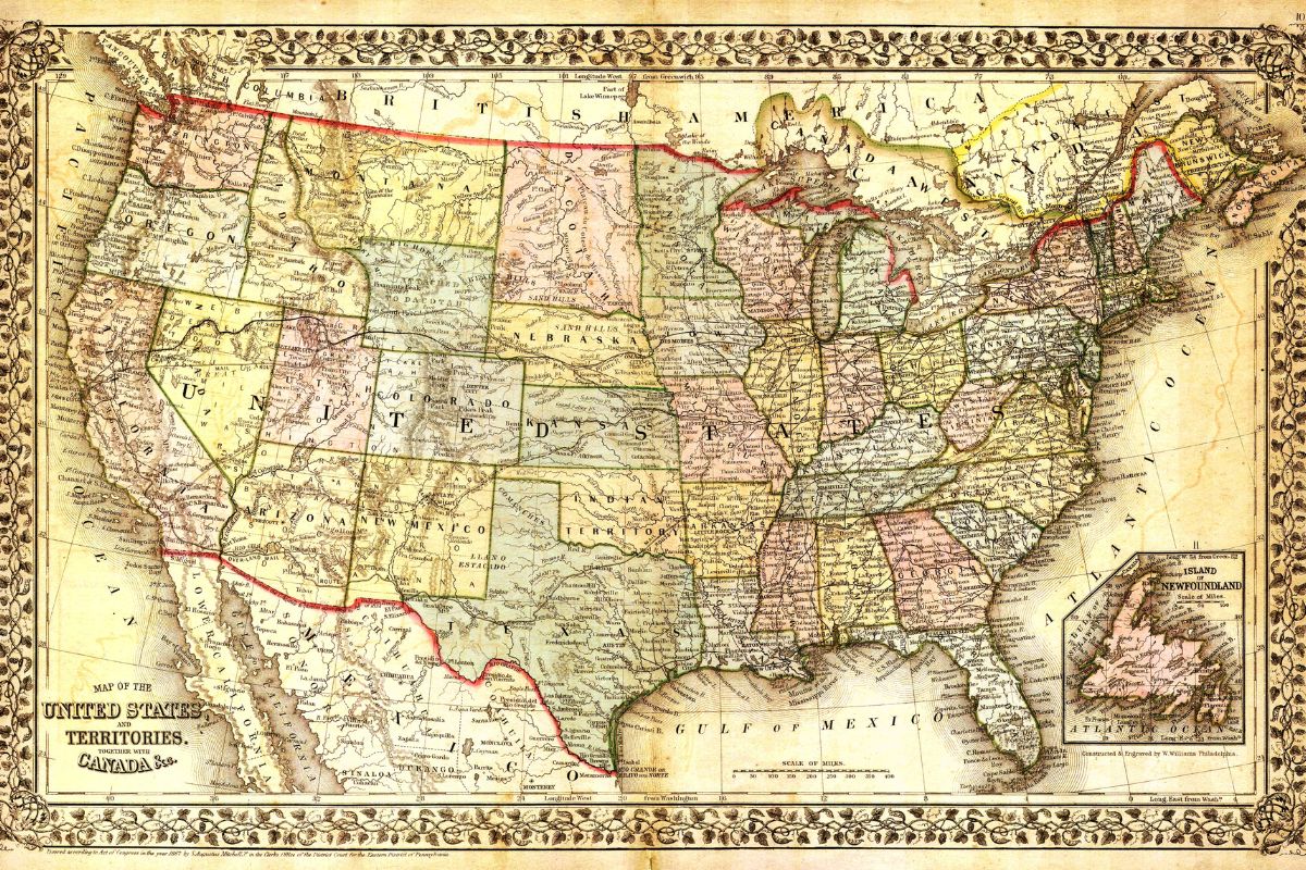
Geography
09 Dec 2025
25 Facts About The USA Map
Technology
02 Dec 2025
25 Facts About Google Pay
Technology
30 Nov 2025
25 Facts About Project Prometheus
Technology
29 Nov 2025
25 Facts About IKEA Smart Home Matter Products
Technology
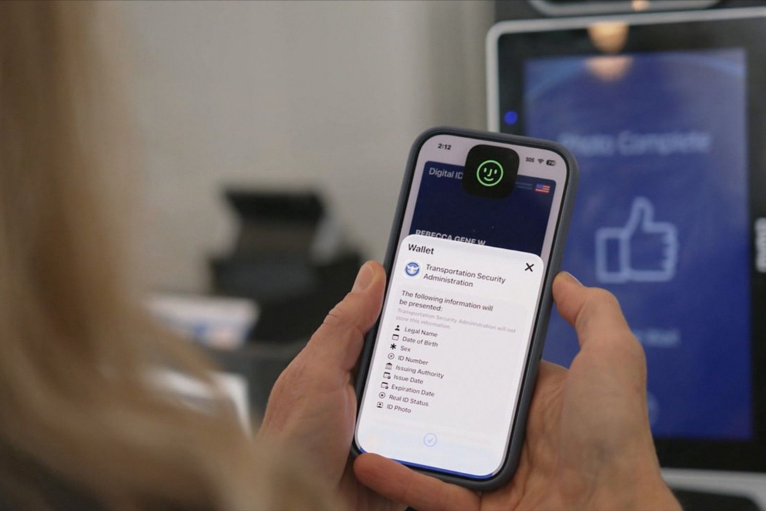
28 Nov 2025
25 Facts About Apple Digital ID
Technology
28 Nov 2025
25 Facts About Apple Pocket
Technology
28 Nov 2025
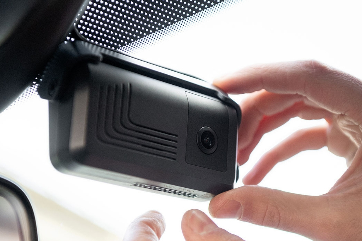
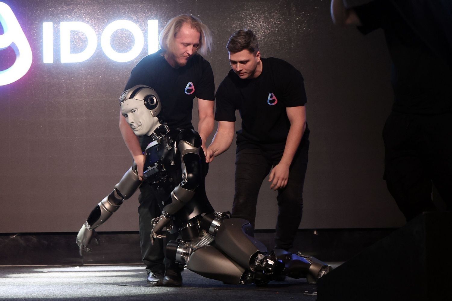
25 Facts About Russian AI Robot Falls
Technology
28 Nov 2025
25 Facts About ChatGPT 51
Technology
25 Nov 2025
25 Facts About LONGi Green Energy Technology Co
Geography
24 Nov 2025
30 Facts About The Mediterranean
Technology
24 Nov 2025
25 Facts About Vertex Pharmaceuticals
Technology
24 Nov 2025
25 Facts About Nebius
Technology
24 Nov 2025
25 Facts About Synchron Company
Geography
24 Nov 2025
30 Facts About New South Wales NSW
Geography
24 Nov 2025
30 Facts About Shandong Province
Technology
24 Nov 2025
30 Facts About Xiaomi
Technology
24 Nov 2025
25 Facts About The Hinge App
Technology
24 Nov 2025
25 Facts About RIVN Stock
Technology
23 Nov 2025
25 Facts About QCOM Stock
Technology
23 Nov 2025
25 Facts About ARM Stock
Technology
23 Nov 2025
25 Facts About Bilt 20
Geography
22 Nov 2025
30 Facts About Vancouver Island
Technology
20 Nov 2025
25 Facts About Gloo
Technology
19 Nov 2025
25 Facts About SCE
Physics
19 Nov 2025
25 Facts About NonGravitational Acceleration
Technology
19 Nov 2025
25 Facts About Bending Spoons
Technology
19 Nov 2025
25 Facts About PSEG
Technology
17 Nov 2025
25 Facts About Embedded Finance
Technology
17 Nov 2025
25 Facts About Beta Technologies
Technology
15 Nov 2025
25 Facts About Grokipedia
Technology
15 Nov 2025
25 Facts About Sling TV
Posts navigation
1
2
…
80
Next
Trending Facts
General
16 Jan 2020
300 Crazy Fun Facts To Start Your Day
General
06 Feb 2020
100 Interesting Facts That Will Boggle Your Mind
General
31 Jan 2020
300 Random Facts No One Knows What To Do With
General
07 Feb 2020
100 Nutrition Facts To An Easier And Healthier Lifestyle
General
04 Feb 2020
100 Amazing Facts That Will Blow Your Mind
General
31 Jan 2020
300 WTF Facts That Will Make You Question Everything
General
17 Jan 2020
300 Weird Facts To Confuse And Amaze You
General
07 Feb 2020
100 Did You Know Facts Most People Have Never Heard About


16 Jan 2020
06 Feb 2020
31 Jan 2020
07 Feb 2020
04 Feb 2020
31 Jan 2020
17 Jan 2020
07 Feb 2020