


Written by Lenard
Modified & Updated: 29 Sep 2024
Reviewed by Jessica Corbett
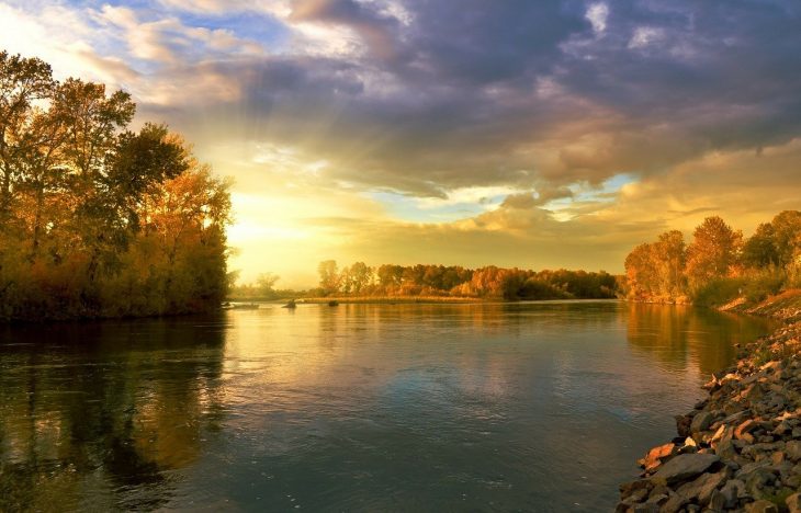
Rivers are some of the most fascinating natural wonders on Earth. These large bodies of freshwater flow downhill in ribbon-like courses due to the force of gravity. They feed lakes, seas, oceans, and other rivers. Rivers are often full of life and also can create marvelous landscapes such as the Grand Canyon in Arizona. Aside from being beautiful geographical features, they’ve also been some of the most important sites in human history. Many early human civilizations started on the basins of rivers. Most major cities around the world now stand on their banks. Among the thousands of rivers around the world, some stand out among the rest. Without further ado, here are 30 of the most famous rivers around the world along with bits of their history.
The Nile
Countries: Burundi, Rwanda, Tanzania, Kenya, the Democratic Republic of the Congo, Uganda, Ethiopia, South Sudan, Sudan, Egypt, Eritrea
Sources: White Nile and Blue Nile
Outflow: Mediterranean Sea
Length: 4,132 mi (6,650 km)
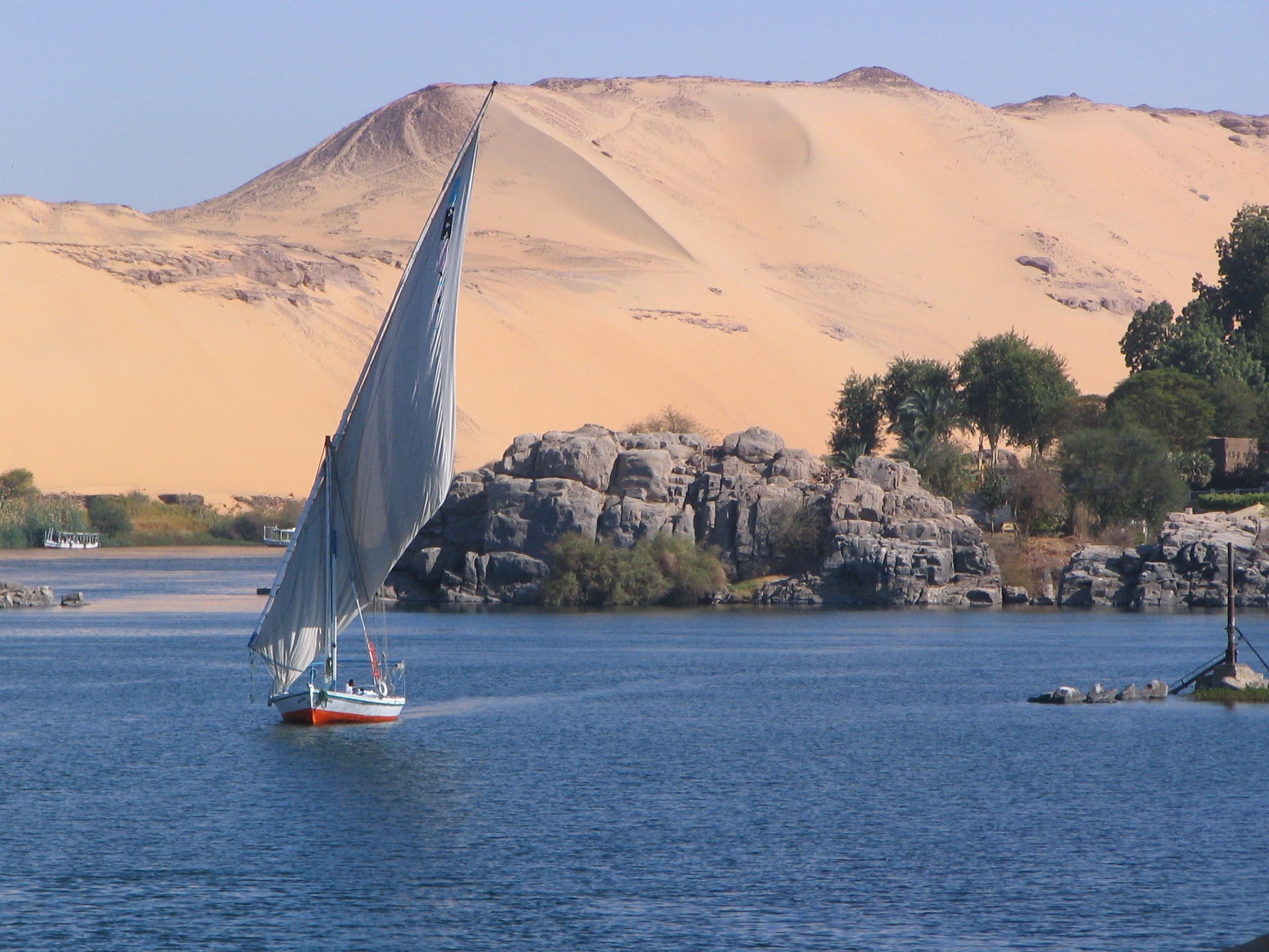
The Nile is certainly one of the most famous rivers in the world — who hasn’t heard of it? This famous river is the longest in Africa, and its length spans 10 countries, including Kenya and Egypt. Running more than 4,130 miles (6,650 km), it is largely regarded as the longest river in the world. The Nile river originates from two major tributaries: the White Nile and the Blue Nile. It flows northwards and meets the Mediterranean Sea at the Nile Delta in Egypt.
The Nile overflows annually and deposits silt along its banks, making the land quite fertile and habitable. It also provides a steady flow of fresh water, which is vital for sustaining life and allowing humans to cultivate crops and keep domesticated animals. Because of this, ancient humans have long settled along the banks since the Stone Age. The river was also crucial in the formation of some of the earliest recognizable civilizations — Ancient Egypt and the Sudanese Kingdoms.
The banks of the Nile are ideal locations for the papyrus plant to grow, and the Ancient Egyptians used these plants to make clothes, ropes, and paper. Nowadays, 95% of Egyptians live within a few miles from the Nile, and the river is still an important source of freshwater, hydroelectric power, and transportation.
The Amazon River
Countries: Peru, Colombia, Brazil, Bolivia, Ecuador, Venezuela, Guyana
Source: Apurímac River (Rio Apurímac)
Outflow: Atlantic Ocean
Length: 3,977 mi (6,400 km)
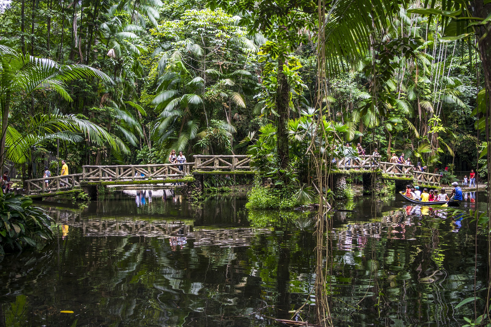
In South America, a large river winds through one of the world’s most diverse ecosystems — the Amazon rainforest. The Amazon River begins high in the Andes mountains and empties into the Atlantic Ocean. This great river is home to over 5,600 species of fish, including 60 species of piranhas.
When it comes to famous rivers, you simply cannot overlook the Amazon. The Amazon River is a strong contender against the Nile for the title of the world’s longest river. Whether the Amazon is longer than the Nile has been the subject of much dispute for years, but most scholars agree that the Nile is longer. This makes the Amazon the second longest river in the world. Several factors complicate the exact measurement of the rivers, such as the measuring scales and techniques, as well as the location of their sources and outflows.
Despite disputes on being the world’s longest river, the Amazon is uncontested as the widest river in the world. Depending on the area, the river can have an average width of about 2 to 6 miles (3.2 to 9.6 km) during the dry season. During the wet season, however, some parts of the river can be up to 30 miles (48 km) wide.
The Amazon River also has the world’s largest drainage basin — the Amazon River basin covers the countries of Bolivia, Brazil, Colombia, Ecuador, Peru, and Venezuela. Moreover, the Amazon River has a water flow rate of 7,400,000 cu ft/s (209,000 m3/s). This amount of water discharge is enough to fill up 83 Olympic-sized swimming pools in a single second.
The Volga
Country: Russian Federation
Source: Valdai Hills
Outflow: Caspian Sea
Length: 2,193 mi (3,529 km)
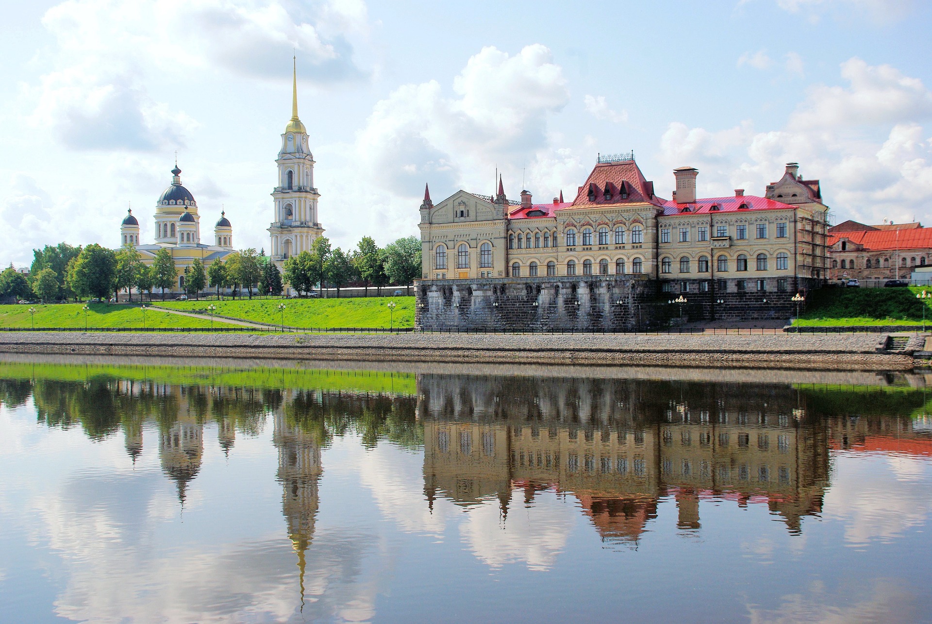
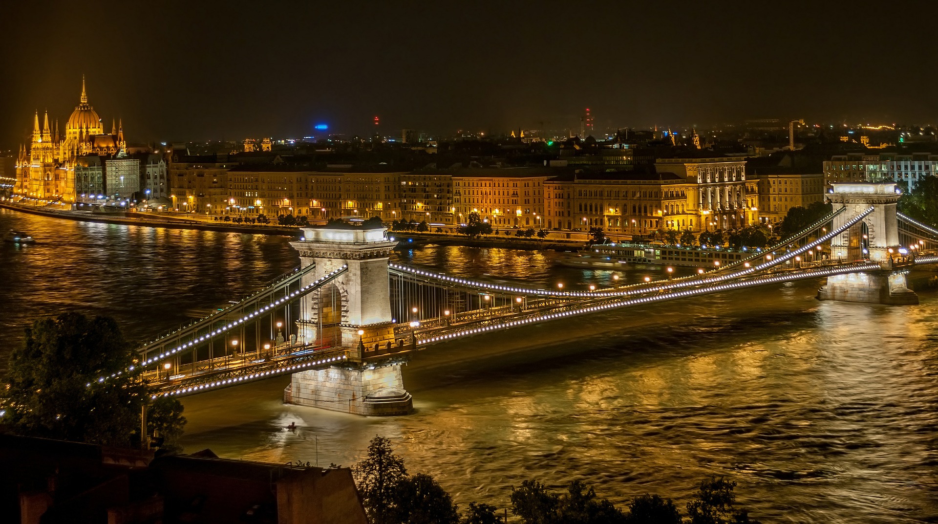
One of the most famous rivers in Europe is the Volga. Coursing through Central Russia to Southern Russia, this river is also the longest river in Europe. In addition to this, it is also the largest in Europe in terms of drainage basin area as well as water discharge. It typically flows for nine months and freezes in the winter months.
The Volga was crucial in early Eurasian civilizations and now holds some of the world’s largest reservoirs. It also houses Russia’s capital, Moscow, as well as 11 out of 20 of its largest cities. Being the national river of Russia, it has an important symbolic significance in Russian culture. Many pieces of literature and folklore refer to the river as Volga-Matushka or Mother Volga.
The Danube
Countries: Germany, Austria, Slovakia, Hungary, Croatia, Serbia, Romania, Bulgaria, Moldova, Ukraine
Sources: Breg River and Brigach Stream
Outflow: Black Sea
Length: 1,771 mi (2,850 km)
The Danube is the second longest river in Europe, just behind the Volga. It courses eastwards through ten countries in Eastern and Central Europe until reaching its terminal in the Black Sea. The Danube is among the most famous rivers in the world because of its historical significance as part of the Roman Empire. It was the long-standing border of the Roman Empire and served as its final frontier. After the fall of the Roman Empire, the Danube has served as a backbone in European trade.
The Indus River
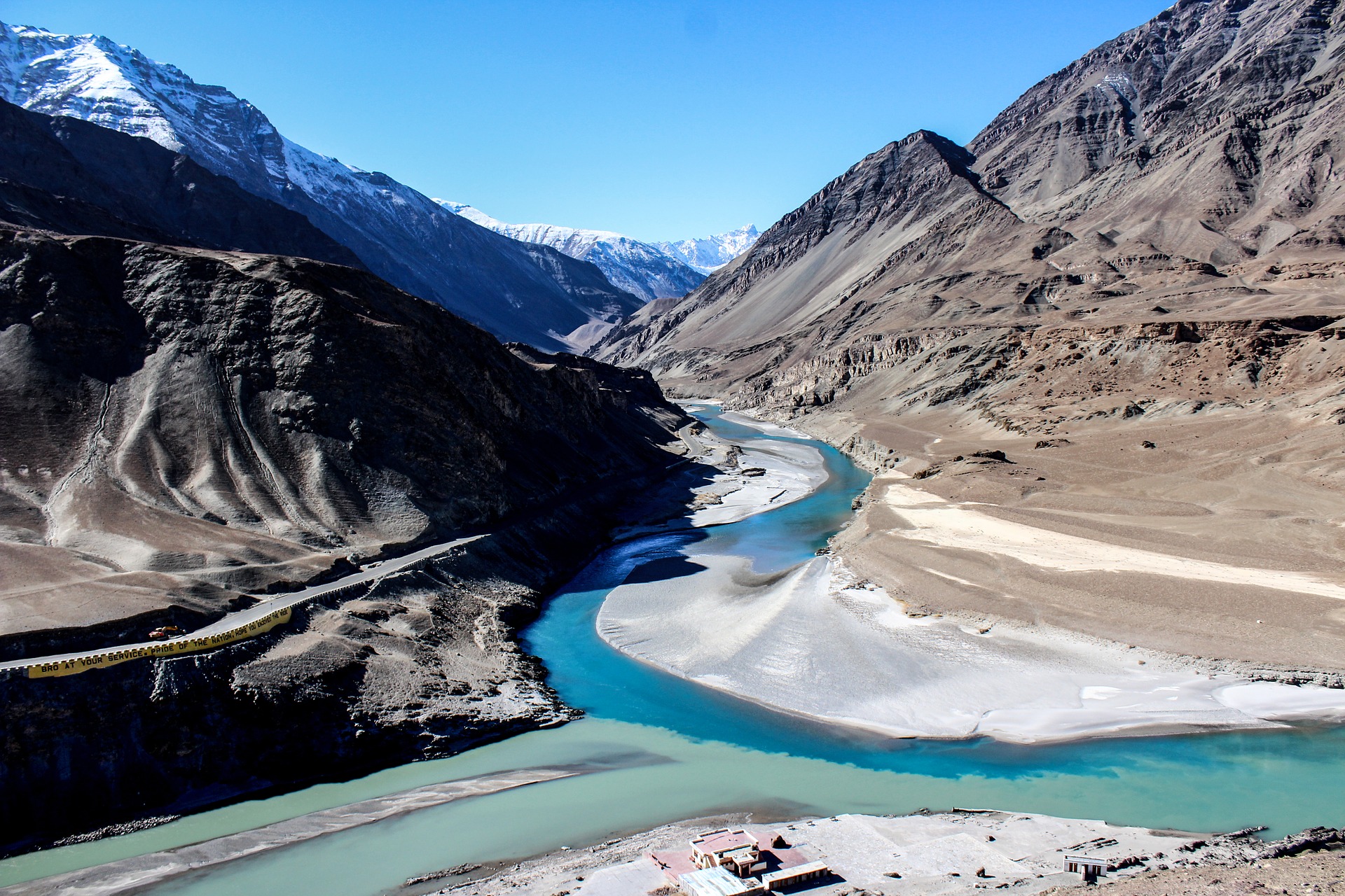
Countries: China, India, Pakistan
Sources: Sênggê Zangbo and Gar Tsangpo
Outflow: Arabian Sea (primary) and Rann of Kutch (secondary)
Length: 1,976 mi (3,180 km)
The Indus River is perhaps popular among ancient history buffs because of its crucial role in the formation of the Indus Valley Civilization, one of the largest human settlements in the ancient world. Interestingly, although the banks housed human settlements for millennia, the region remained unknown to the Western world until 515 BC.
The Indus River is an important landmark of South Asia. In fact, the term “India” originated from the Indus River, and it originally referred to the lands near the east bank of the river. The term then expanded further eastwards to include the whole Indian subcontinent.
This mighty river’s annual water flow is around 58 cu mi (243 km3) twice that of the Nile. It’s therefore among the largest rivers in terms of their annual discharge.
The Ganges
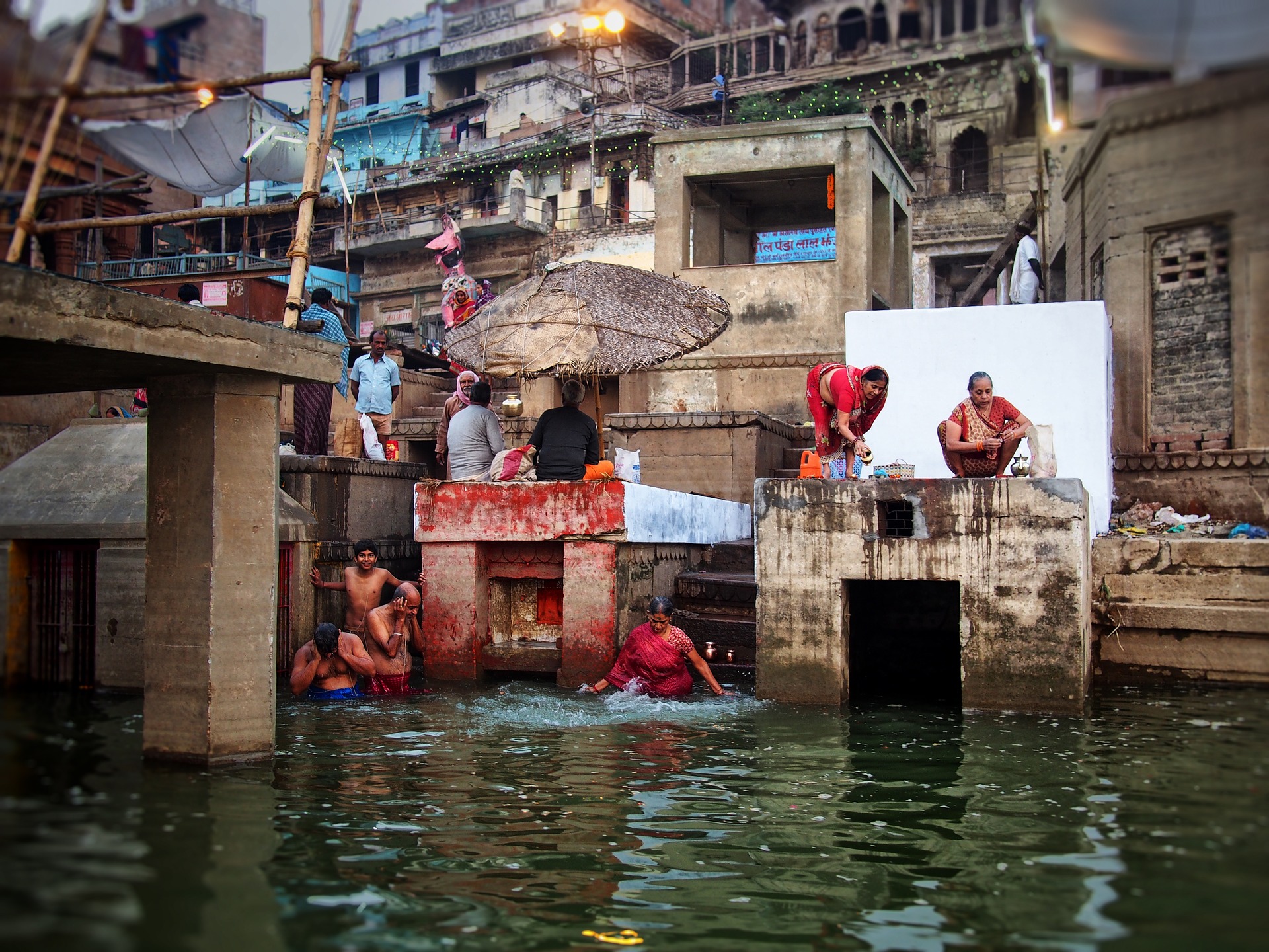
Countries: India, Bangladesh, Nepal
Sources: Confluence at Devprayag, Uttarakhand of the Alaknanda river, Bhagirathi River
Outflow: Bay of Bengal
Length: 1,560 mi (2,510 km)
The Ganges is an Asian river that runs from the western Himalayas in India through the Bay of Bengal in Bangladesh. With an average discharge of 1,346,500 cu ft/s (38,129 m3/s), it is the third-largest river on Earth in terms of water flow.
The Ganges holds high religious significance among the Hindus. They hold the river sacred and worship it as the goddess Ganga. Many Hindus bathe in the river and perform rituals to pay homage to their ancestors and gods. Furthermore, the river also held many historical capitals along its banks and now serves as an important resource to millions of people who live near its course.
Although the river holds great historical and cultural significance, it now faces problems due to severe water pollution. There have been unsuccessful attempts to clean up the river, and the health risks to humans and other living things that depend on the river remain high.
The Yangtze
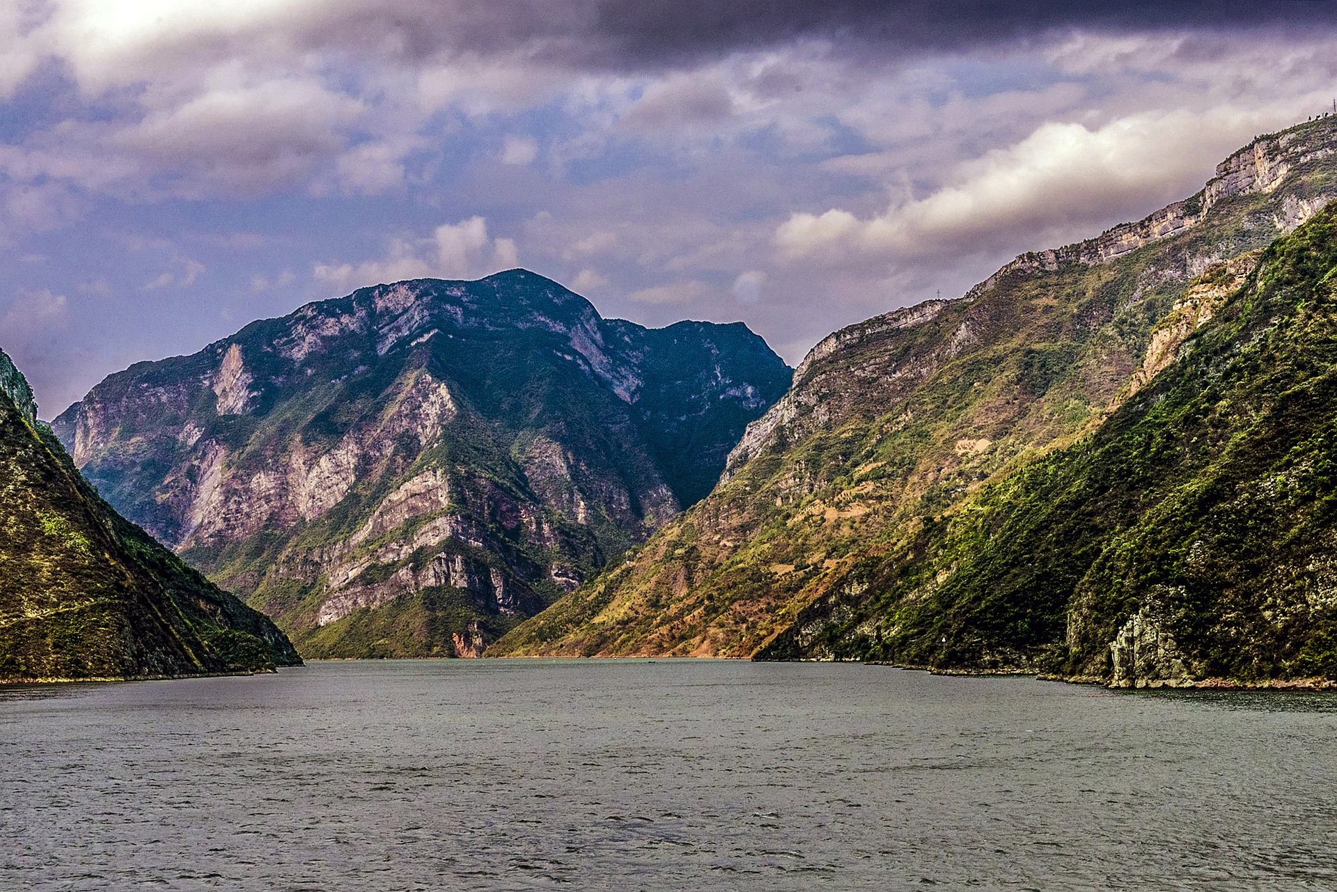
Country: China
Sources: Dam Qu, Ulan Moron, Chuma’er River, Muluwusu River, Bi Qu
Outflow: East China Sea
Length: 3,915 mi (6,300 km)
The Yangtze river is another historic river body. Many regard it as the longest river in Asia, but also the longest river spanning one country. It begins at the Tanggula Mountains in Jari Hill and flows into the East China Sea. This river is also home to a drainage basin, which covers around 20% of the country. It also supports a third of the Chinese population, along with various animal species.
Along with being among the most famous rivers in the world, this river is one of the most historically significant bodies of water. It has been a part of the Han Dynasty’s economy, used as an irrigation system still used by the locals today. Simply put, the Yangtze river allowed the Chinese people to create a stable farming system.
Although a huge part of China’s economic affairs, the Yangtze river now suffers from pollution. It has also been central to specific tragedies, particularly natural disasters. On August 18, 1931, China suffered from a flood that caused the river to overflow for months. This killed 3.7 million people and is deemed one of the worst natural disasters in modern times.
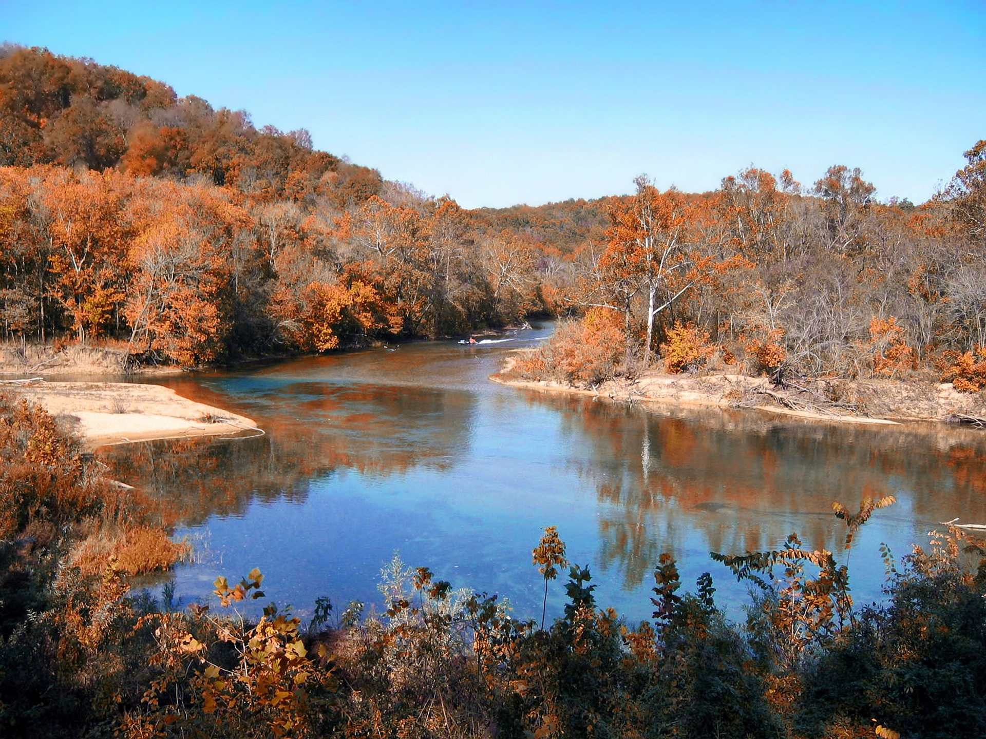
The Missouri River
Country: United States of America
Sources: Hell Roaring Creek and Firehole River-Madison River
Outflow: Mississippi River
Length: 2,341 mi (3,767 km)
The Missouri river takes the title of the longest river in North America. It begins in Western Montana in the Rocky Mountains and flows into the Mississippi River in St. Louis. Although sparsely populated, the river drains a watershed of more than 500,000 square miles, meaning that it can power ten states and even Canadian provinces.
Although most people assume that the Missouri River is a mere part of the Mississippi river, it is undeniably longer. It also carries a larger volume of water. Due to its depth and length, it has been used by people around the area as the main source of transportation, water, and even food. This has been so for over 12,000 years, with major Native American tribes taking the lead.
The Missouri River also played an important role once the first Europeans arrived, making it part of the trade and barter system by the Spanish and French. This system occurred until the Louisiana Purchase, which has finally allowed the United States full ownership of the river.
Upon purchasing, the Missouri River became one of the main routes for expansion. This began in the 19th century, paving the way for the fur trade, more explorations, and other discoveries. Most settlers began using steamboats on the river, but this did not sit well with the Native Americans. As a result, the violent American Indian Wars began.
In the 20th century, the river was further developed to accommodate irrigation systems, flood control mechanisms, and even hydroelectric power generation. It is now regarded as one of the most important populous areas, with extensive agricultural and industrial economies thriving.
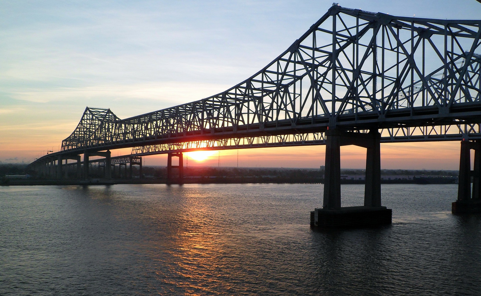
The Mississippi River
Country: United States of America
Source: Lake Itasca
Outflow: Gulf of Mexico
Length: 2,318 mi (3,730 km)
The Mississippi River is the second-longest river in North America, as well as the second-largest river basin in the continent. This river encompasses 32 states in the USA, as well as two provinces in Canada. In the context of the world ranking, the Mississippi is the fourth-longest river next to the Nile, the Congo River, and even the Amazon.
Apart from its undeniable mass and length, this river plays an important role in American history. Native Americans used the river as their main resource, keeping settlements healthy and traditions alive. Today, it is used as the foundation for various trade systems. It currently connects New Orleans and St. Louis, which has also contributed to the results of the American Civil War.
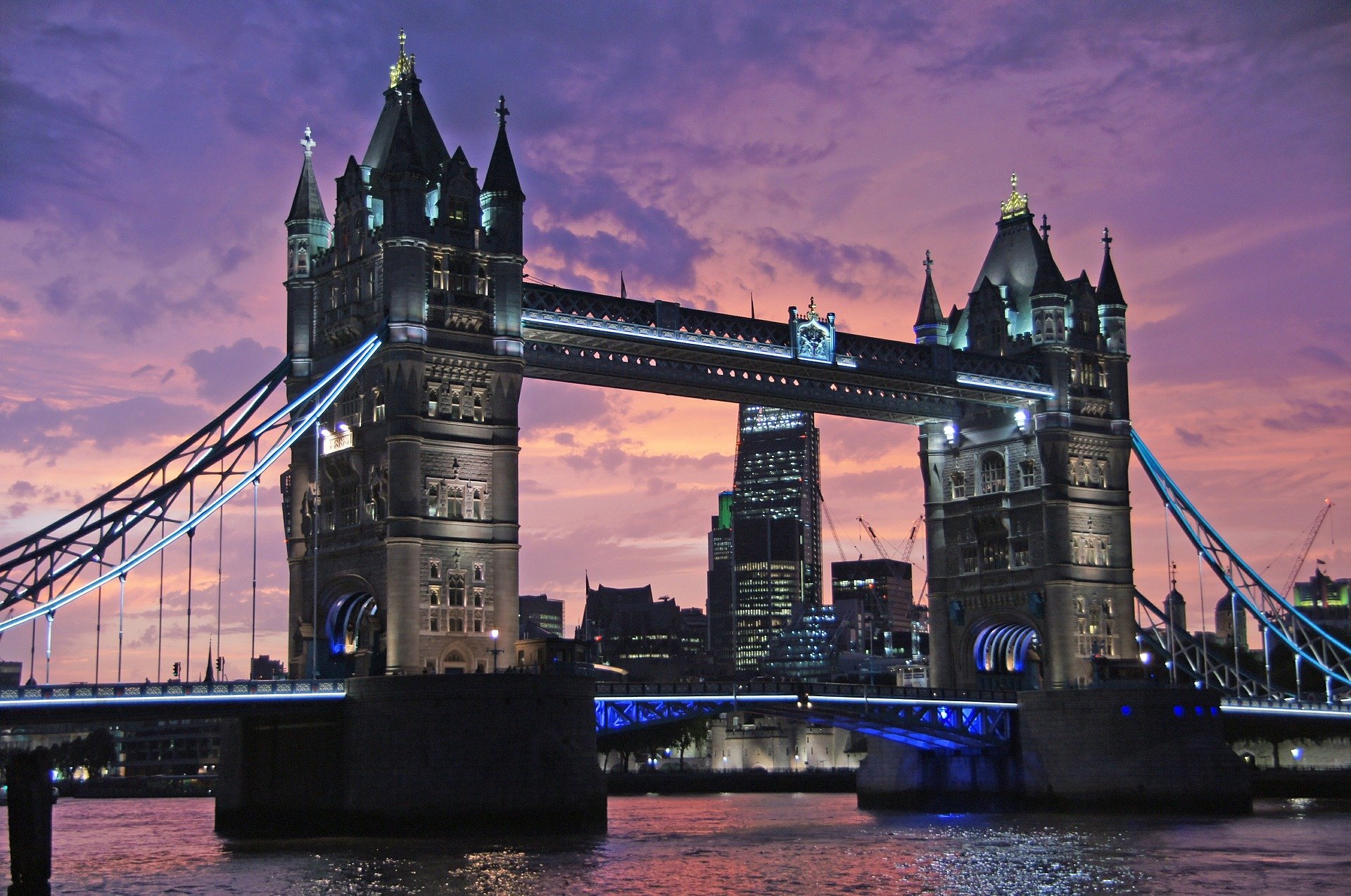
The River Thames
Country: England
Sources: Thames Head and Ullenwood
Outflow: North Sea
Length: 215 mi (346 km)
The River Isis or the River Thames is the most famous river in England. It flows through southern England and is part of London’s main tourist spots. It’s the second-longest river in the United Kingdom, just behind the River Severn. It flows through Oxford and finishes into the North Sea, where the water passes through the Thames Estuary. This river also drains the entire Greater London, making it an integral part of the economy.
The River Thames also plays a historical role in trade and transportation. Experts believe that various life forms have been using the river prehistoric times. Medieval London has also used it as a foundation for fame and fortune, and they used it as the main highway for trade. Despite its pollution issue, the Thames continues to be London’s drinking water resource. It also supplies public water in the catchment area, and the city highly maintains the groundwater to prevent contamination.
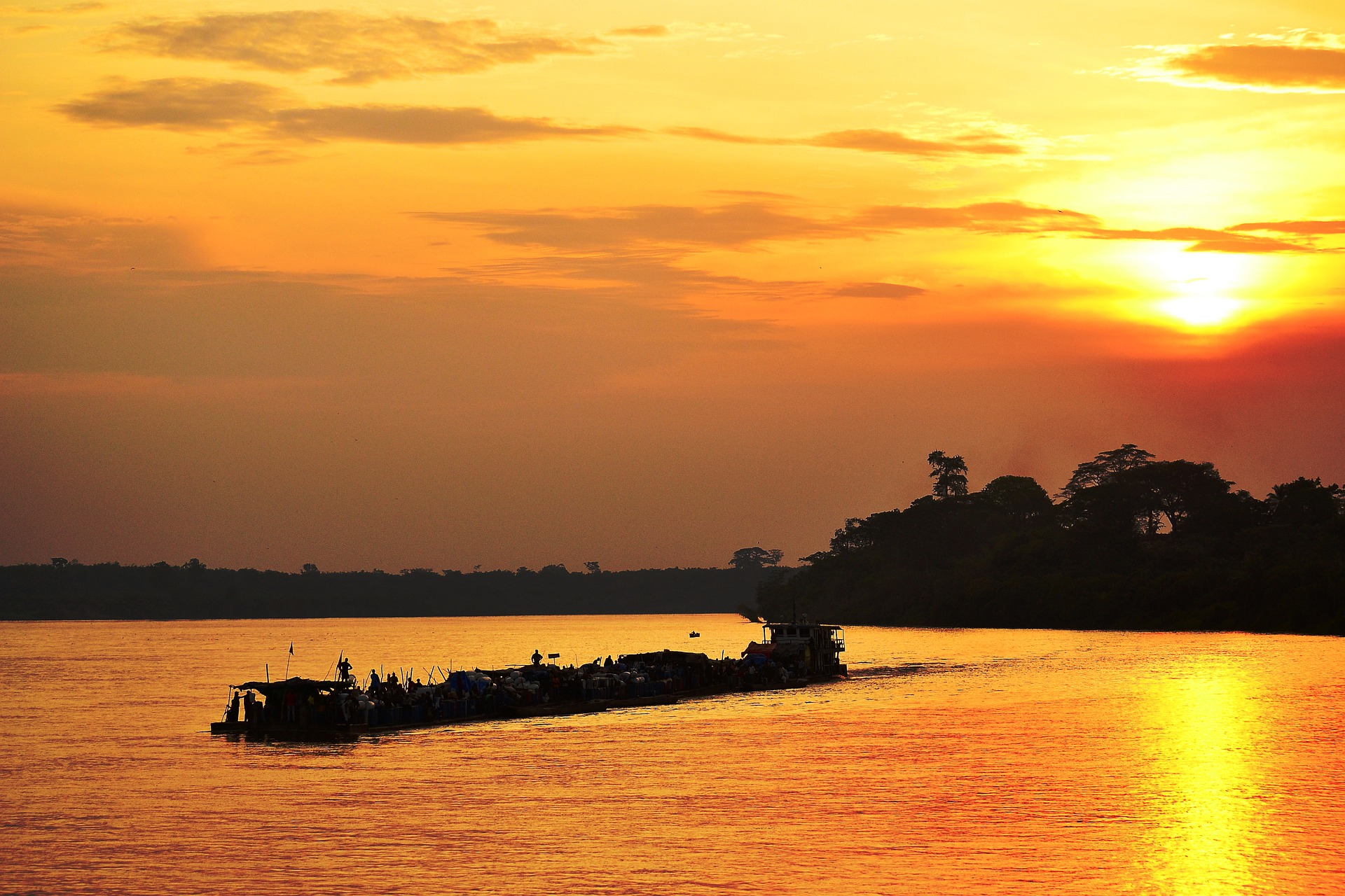
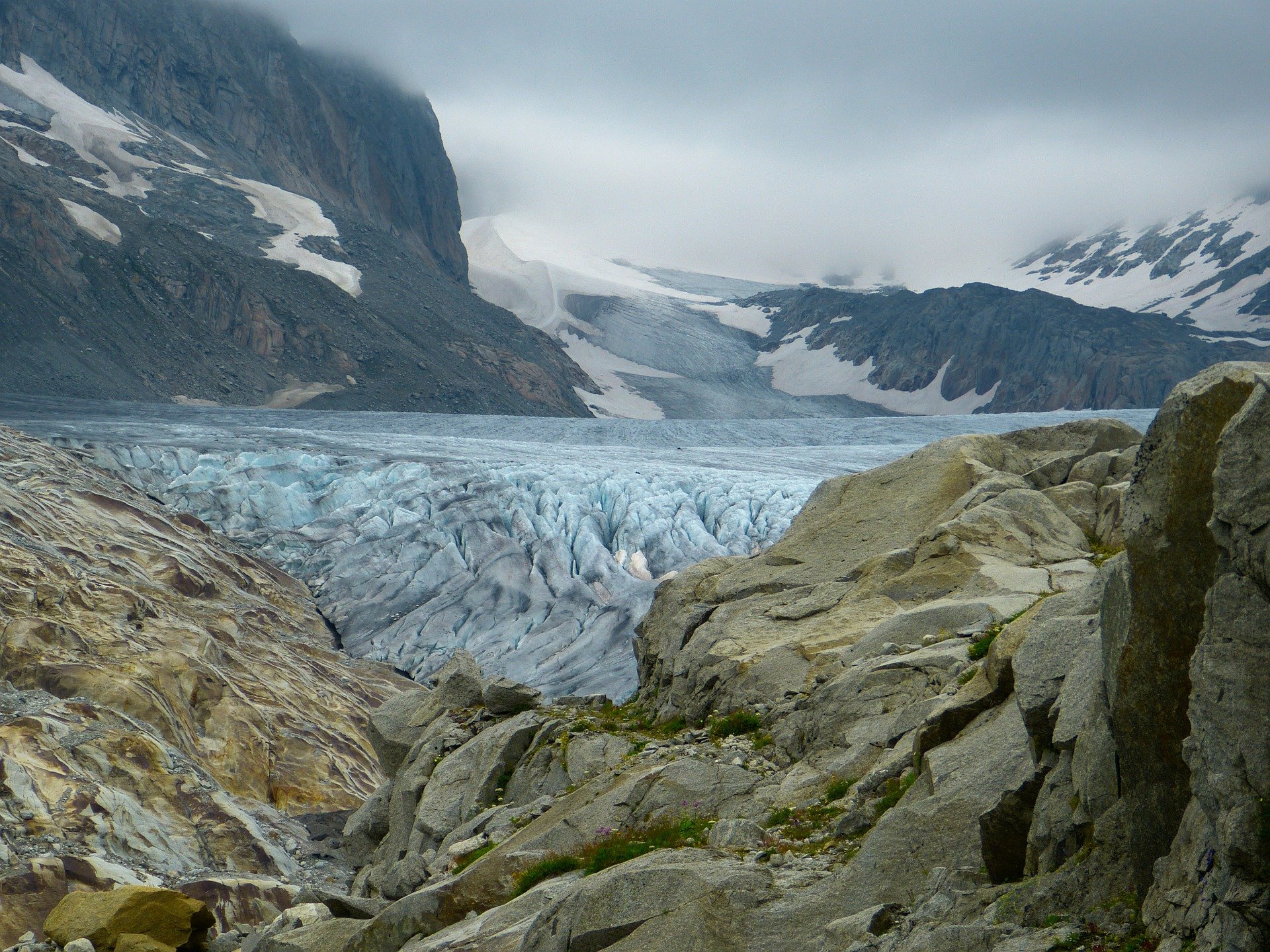
The Congo River
Country: Republic of the Congo
Source: Lualaba River
Outflow: Atlantic Ocean
Length: 2,920 mi (4,670 km)
The Congo River spans over nine countries in Africa, making it one of the longest yet arced rivers and basins in the world. Its body of water can provide water, food, and medicine. It is also currently used as a mode of transportation, servicing an estimated 75 million people around its vicinity.
The river flows across the equator twice, especially since it flows from eastern Africa and into the Atlantic ocean. Due to its extensive pathway, the long river is also home to swamps, lakes, rapids, floodplains, and even wetlands. On top of its length, the Congo River is also the world’s deepest river. Some parts of the river have reached a whopping 720 ft (220 m), and light can no longer penetrate its depths.
The Rio Grande
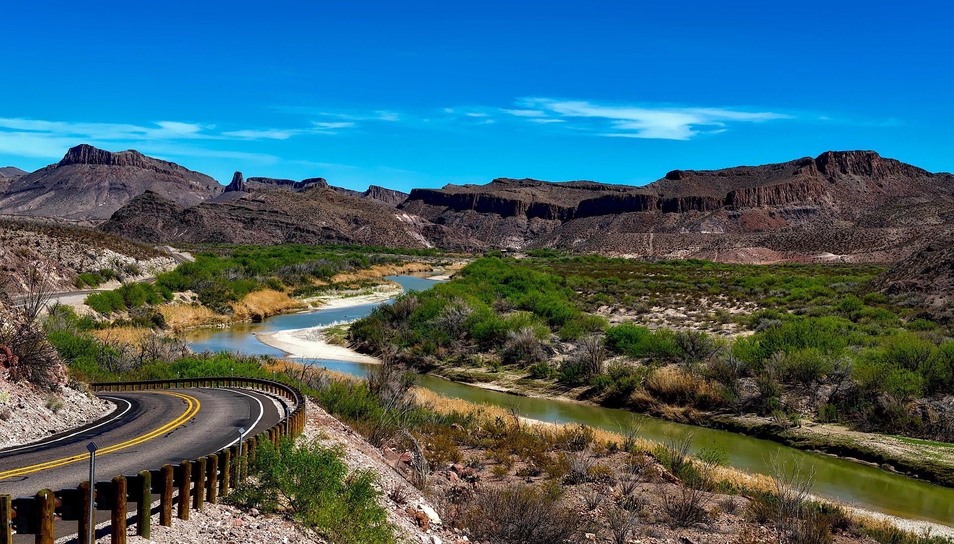
Countries: United States of America, Mexico
Sources: Canby Mountain and Pole Creek
Outflow: Gulf of Mexico
Length: 1,885 mi (3,033 km)
The Rio Grande is yet another one of the most famous rivers in North America, and it’s also popular in its Spanish name, Río Bravo del Norte. The river begins at the snow-fed clearings of the Rocky Mountains, traveling across deserts into the Gulf of Mexico. It serves as irrigation for various agricultural settings along the way.
It’s the fifth-longest river in North America, and it serves as a border between Texas and Mexico. Due to its heavy use, however, Rio Grande’s water distribution to the Gulf of Mexico has significantly reduced. Most of the farms and cities surrounding the river have greeted diversion dams, all for irrigation.
The Zambezi
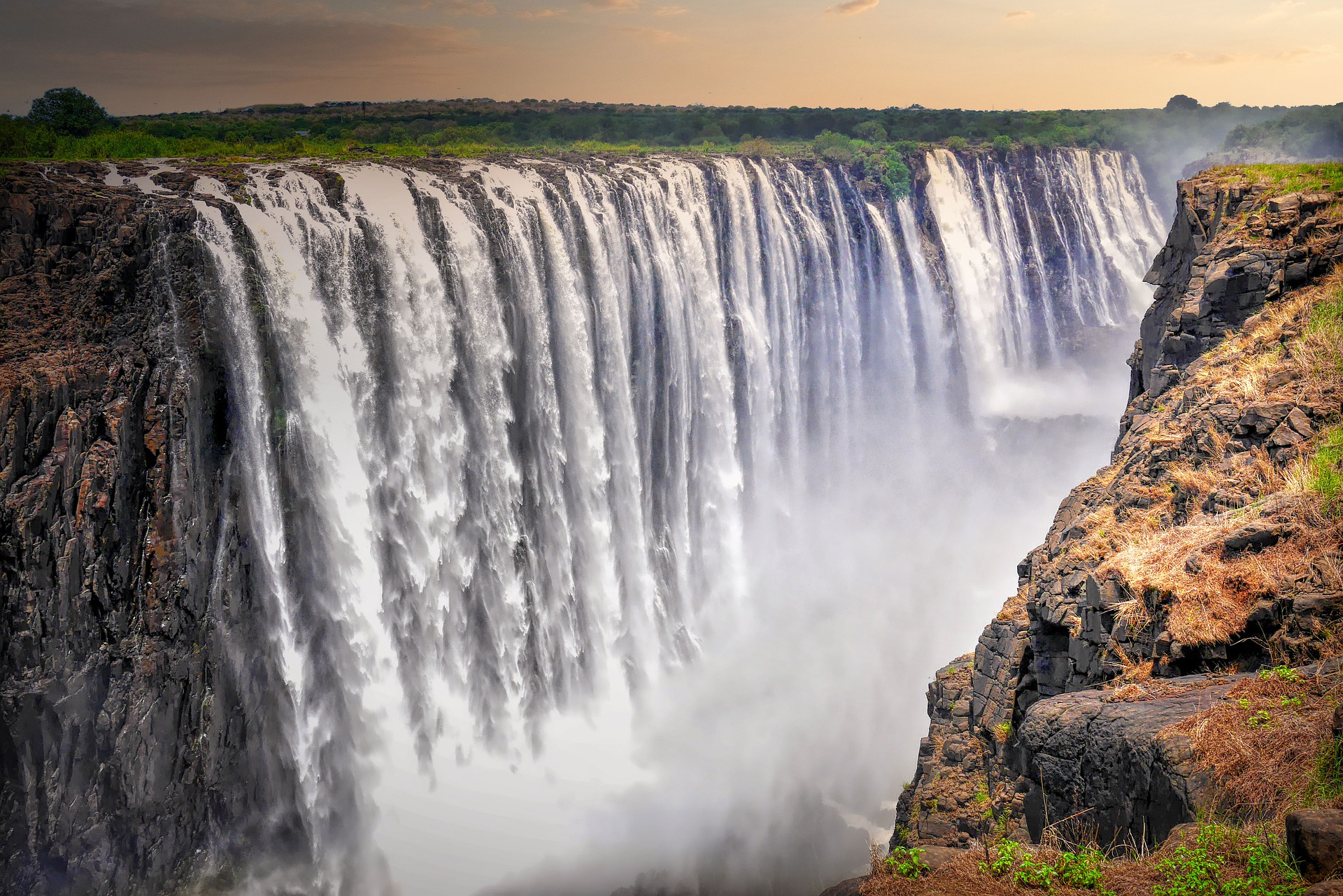
Countries: Zambia, Angola, Namibia, Botswana, Zimbabwe, Mozambique, Malawi, Tanzania
Source: Zambezi Source National Forest
Outflow: Indian Ocean
Length: 1,599 mi (2,573 km)
The Zambezi serves as the river basin for surrounding areas in Africa. It begins in Zambia and flows through Angola, and then it meets the Indian Ocean. Most people know the river for its waterfalls, including tourist suits like the Chavuma Falls and Victoria Falls.
Like the Nile and Congo, the Zambezi river serves as the main resource for various settlements. It is used mainly for agricultural needs, but modern times have also paved the way for hydroelectricity to be used. This energy is harnessed through the Kariba Dam, which then provides Zambia and Zimbabwe with electricity.
The Mekong River
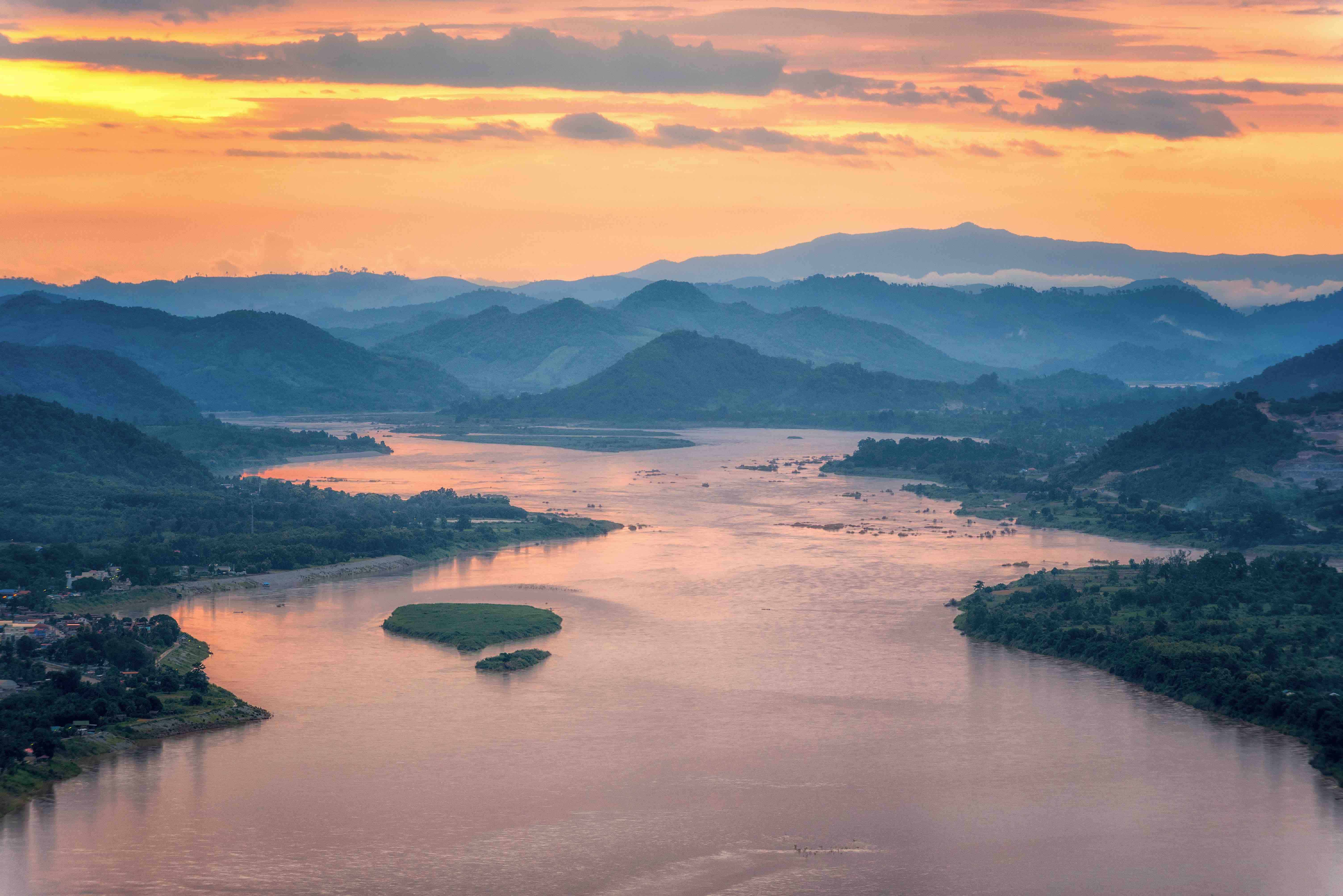
Countries: China, Myanmar, Laos, Thailand, Cambodia, Vietnam
Sources: Lasaigongma Spring
Outflow: South China Sea
Length: 2,703 mi (4,350 km)
The Mekong River is the seventh longest river in Asia. It also serves as a boundary between various countries in Southeast Asia, bordering China, Laos, Thailand, Cambodia, Myanmar, and Vietnam. It eventually flows into the South China Sea, but cities around it use the river to sustain agricultural needs, transportation routes, and even portable water sources.
Although the Mekong River is highly important for navigation, most people are wary of it due to the seasonal changes. Such changes result in difficult rapids and other dangerous conditions. In many areas, however, the river is used to create local staples, such as wet rice in Vietnam. This river also plays an important role in the fishing sector.
Huang He (The Yellow River)
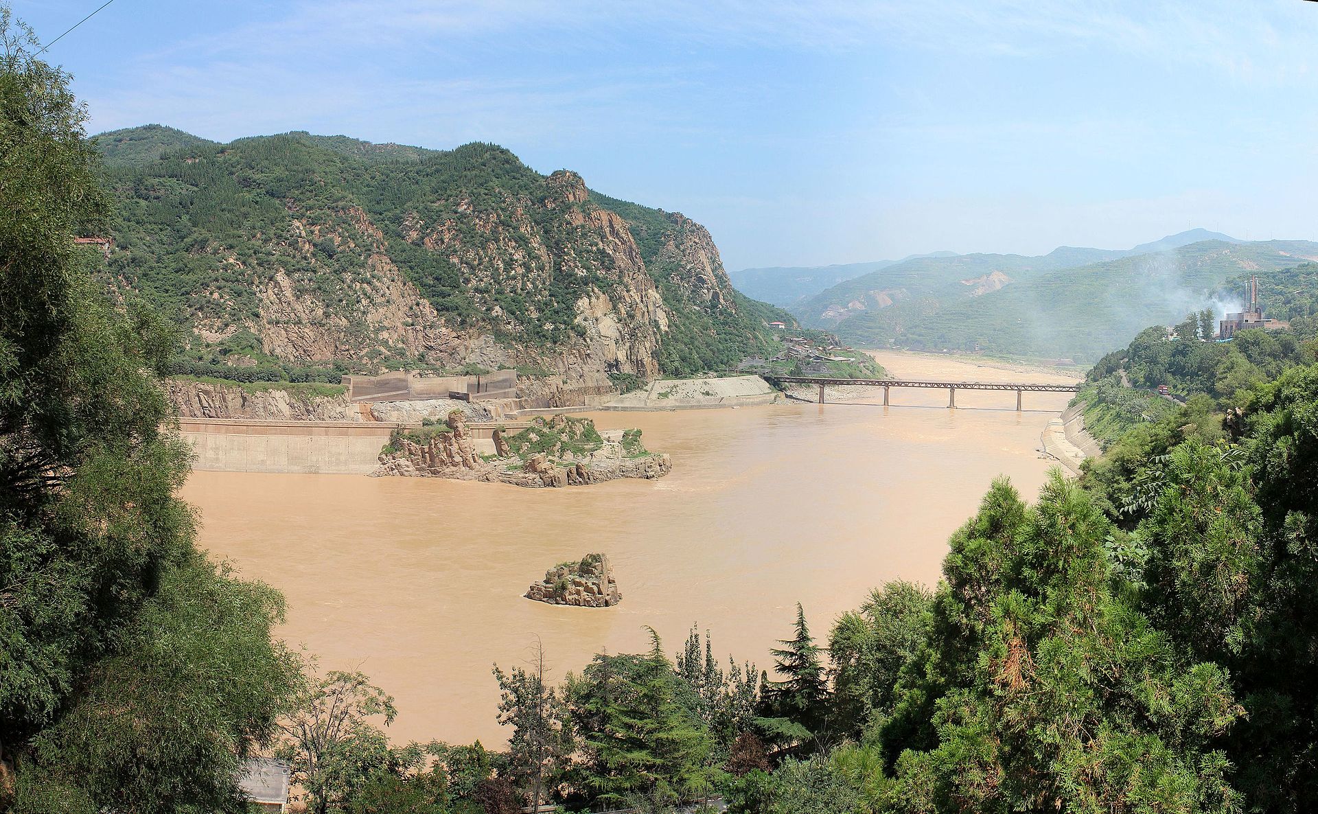
Country: China
Source: Bayan Har Mountains
Outflow: Bohai Sea
Length: 3,395 mi (5,464 km)
The Huang He or the Yellow River is the sixth-longest river system in the world and is the second-longest river in China. This is among the country’s most famous rivers because of its historical importance — this was where the ancient Chinese civilization rose and prospered.
Although it holds major historical significance, the river is also notorious because it periodically releases devastating floods. Its floods are among the deadliest in the world, killing hundreds of thousands and even up to millions of people. For instance, the 1931 flood killed around 1 to 4 million people, and many view this as the worst natural disaster in history. The second worst natural disaster, the 1887 flood, was also due to the Huang He.
The Seine River
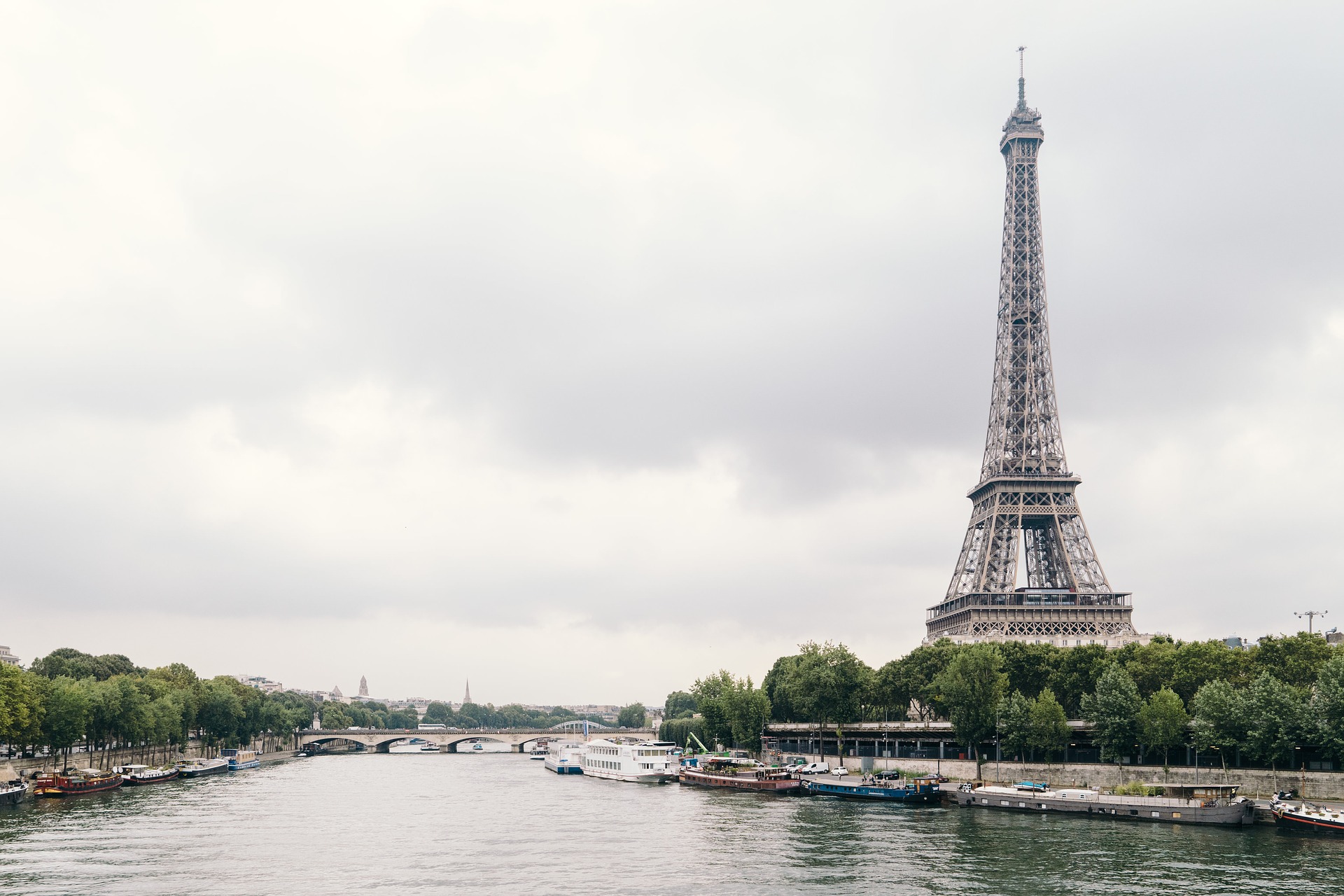
Country: France
Source: Source-Seine
Outflow: English Channel
Length: 482 mi (775 km)
The Seine River is a well-loved view in Paris. This river runs through most of Northern France and serves as an important commercial waterway. Flowing from the Source-Seine through Paris into the English Channel at Le Havre, this scenic river is the third-longest river in France. Its basin spans through most of Northern France as well as some parts of Belgium.
Various dams and reservoirs control the water in the river and its tributaries. These structures help maintain a constant water level. However, these aren’t sufficient for flood control. In 2003, a first-level flood alert led to the transport of over 100,000 artworks out of Paris. This event became the biggest relocation of art since World War II.
The Seine is a popular tourist attraction as the river allows for scenic boat tours through Paris. Visitors can hop in excursion boats to sightsee the monuments around the capital of France. There are 37 bridges across the river in Paris alone. One of which is the iconic Pont des Arts, which links the Institut de France and the central square of the Louvre Palace.
The Rio Orinoco
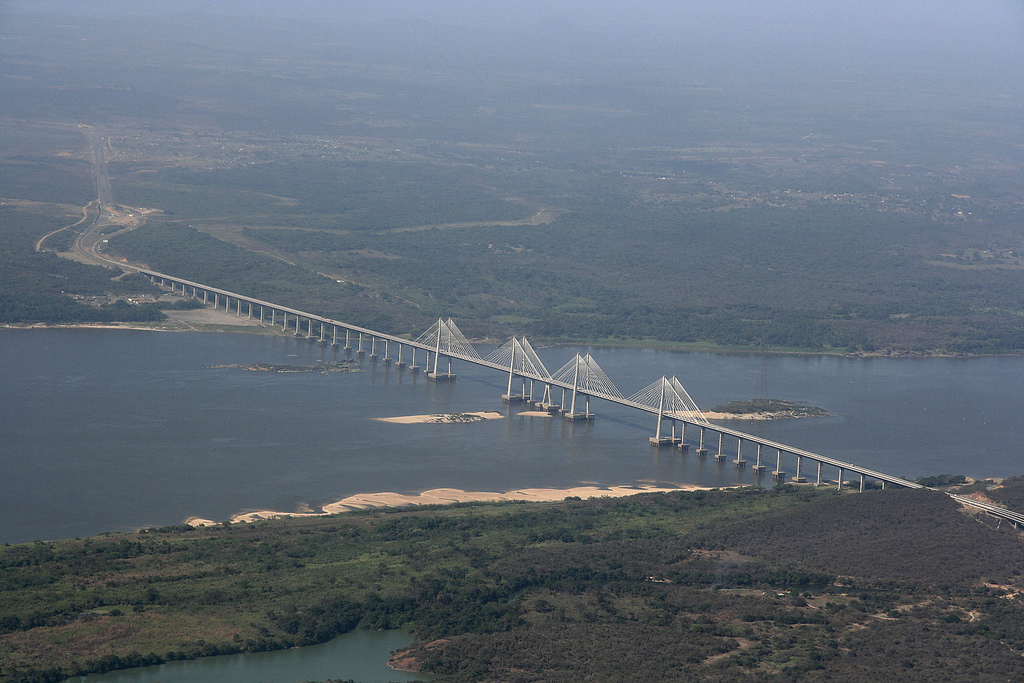
Countries: Colombia, Venezuela, Guyana
Sources: Parima Mountains, Headwaters of Rio Sorrento
Outflow: Atlantic Ocean
Length: 1,398 mi (2,250 km)
The Rio Orinoco or Orinoco River is among the largest rivers in South America, and it feeds the northern reaches of the continent. Its river basin, Orinoquia, covers ¾ of Venezuela. This river also is the fourth largest river in terms of water flow.
The river features a spectacular diversity of environments and lifeforms. It also plays an important role in trade and transportation in many regions of the countries of Venezuela and Colombia. There are dredging activities in many parts of the region to accommodate larger ships.
The Sepik River
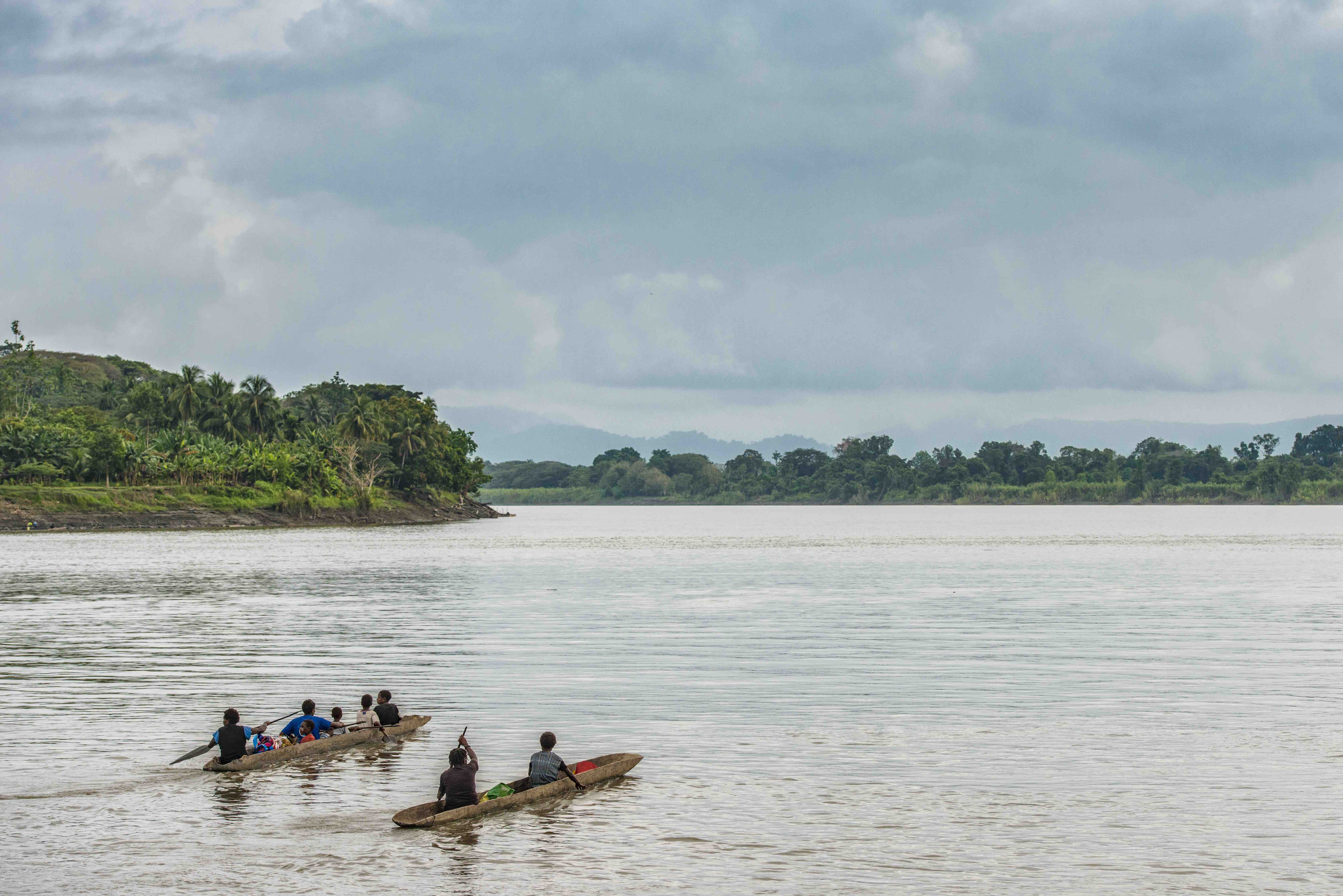
Countries: Papua New Guinea, Indonesia
Source: Victor Emanuel Range
Outflow: Bismarck Sea
Length: 700 mi (1,126 km)
The Sepik River is the longest river on the island of New Guinea and the island’s third largest river by volume. It starts from the Victor Emanuel Range of the central highlands of Papua New Guinea and discharges into the Bismarck Sea. Its catchment area is quite large, spanning 30,000 sq mi (77,700 km2).
The Sepik River runs through rich and diverse landforms such as tropical rainforests, swamplands, and mountains. Although it is mostly regarded as the largest uncontaminated freshwater wetland system in the Asia-Pacific region, introduced fish and plant species have been living within it since the 20th century.
Lands near the Sepik also have been home to many local villagers for thousands of years. There are no less than 100 distinct hamlets and villages along its course, and they depend on the Sepik River for food, culture, and transportation. Numerous tribes living along the Sepik are famous for their distinct art styles, and many regard the Sepik region as among the most diverse art-producing regions in the world.
The Rhine
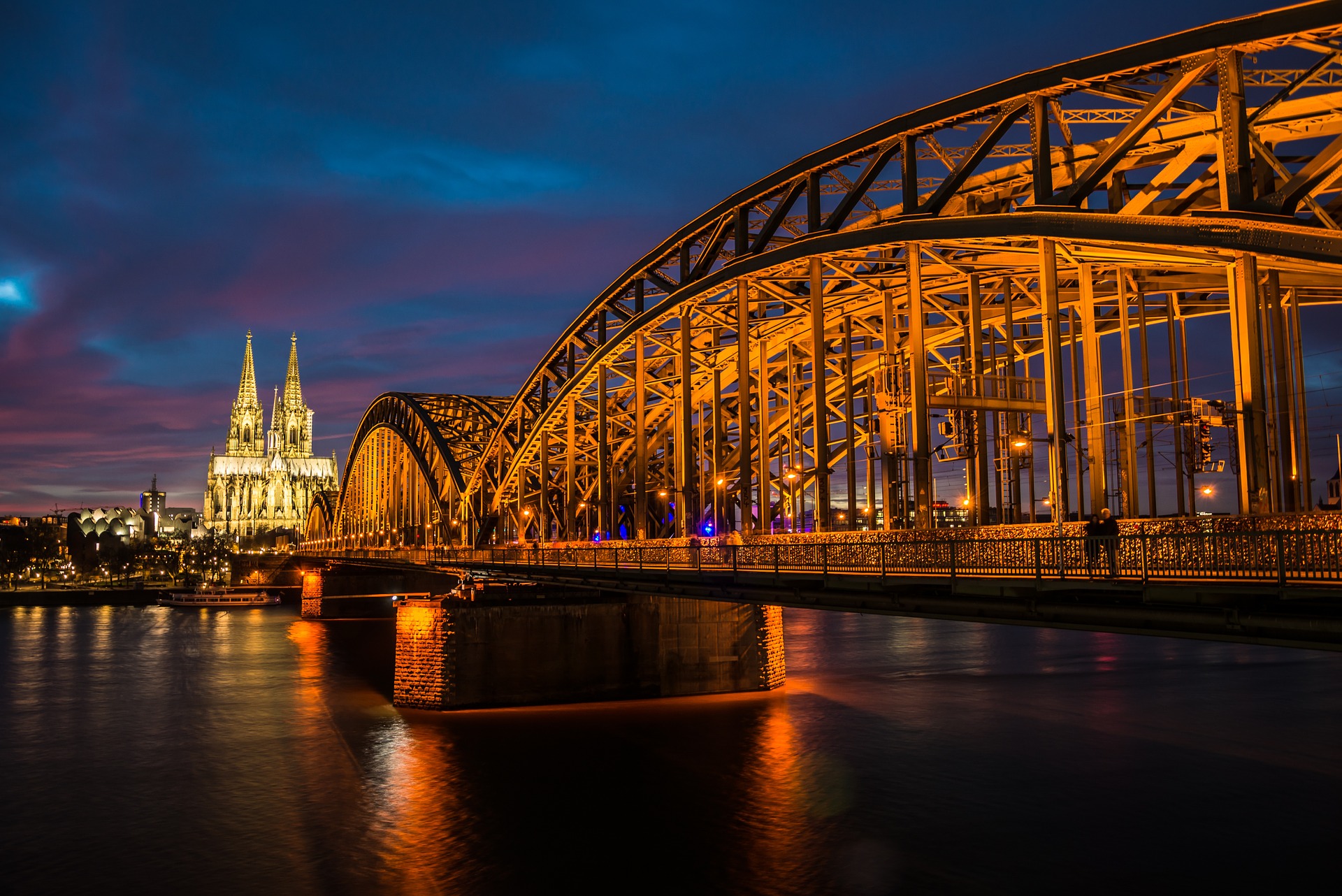
Countries: Switzerland, Liechtenstein, Austria, Germany, France, the Netherlands, Luxembourg, Belgium, Italy
Sources: Vorderrhein (Rein Anteriur), Hinterrhein (Rein Posteriur)
Outflow: North Sea
Length: 764 mi (1,230 km)
The Rhine flows northwards from the Swiss Alps through most of Germany and the Netherlands and empties into the North Sea. This river serves as the second largest river in Central and Western Europe, tailing behind the Danube. It connects numerous important cities such as Rotterdam, Düsseldorf, Cologne, Basel, and Strasbourg.
The Danube also formed the second portion of the Roman Empire’s northern inland frontier. It served as an important waterway for the Holy Roman Empire. Because of this, it has a wealth of historical landmarks from that era, such as castles, forts, and strongholds. This river also serves as a symbol of German nationalism in modern times.
The Rhône
Countries: Switzerland, France
Source: Rhône Glacier
Outflow: Mediterranean Sea
Length: 505 mi (813 km)
The Rhône is another one of the most famous rivers that arise from the Swiss Alps, and this river courses through Southeastern France. It divides into two rivers before emptying into the Mediterranean Sea — as the Great Rhône (French: le Grand Rhône) and the Little Rhône (le Petit Rhône).
The Rhône has been an integral part of the European trade, especially from the Mediterranean to Central France. Also, the first experimental steamboat set sail in the Rhône.
The Columbia River
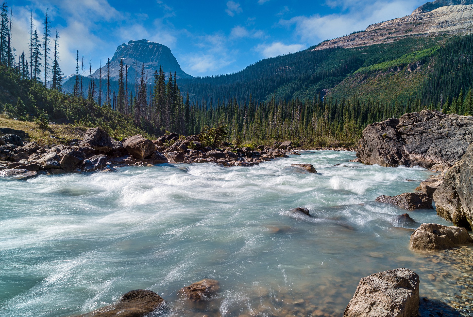
Countries: United States, Canada
Source: Columbia Lake
Outflow: Pacific Ocean
Length: 1,243 mi (2,000 km)
The largest river in the Pacific Northwest region of North America is the Columbia River. It begins in the Rocky Mountains of British Columbia in Canada and courses through the US states of Washington and Oregon, emptying into the Pacific Ocean. With a water flow of 100,000 cu ft/s (2,900 m3/s), it has the greatest discharge of any river entering the Pacific. Its basin is also quite large, spanning seven US states and a Canadian province. The basin is roughly the size of France.
This river hosts various species of migratory fish, especially salmon species. It also plays a significant role in the region’s transportation and resources. Furthermore, throughout the Columbia River’s course, there are numerous dams that produce more than 44 percent of the hydroelectric generation in the United States.
Although the river still holds a significant role in hydroelectric power, the Hanford Site along the river is now the most contaminated nuclear site in the US. This is due to the production of nuclear power that took place along the site over the years. Water pollution rates in the site remain high, significantly affecting many plants and animals that live or migrate in the area.
The Colorado River
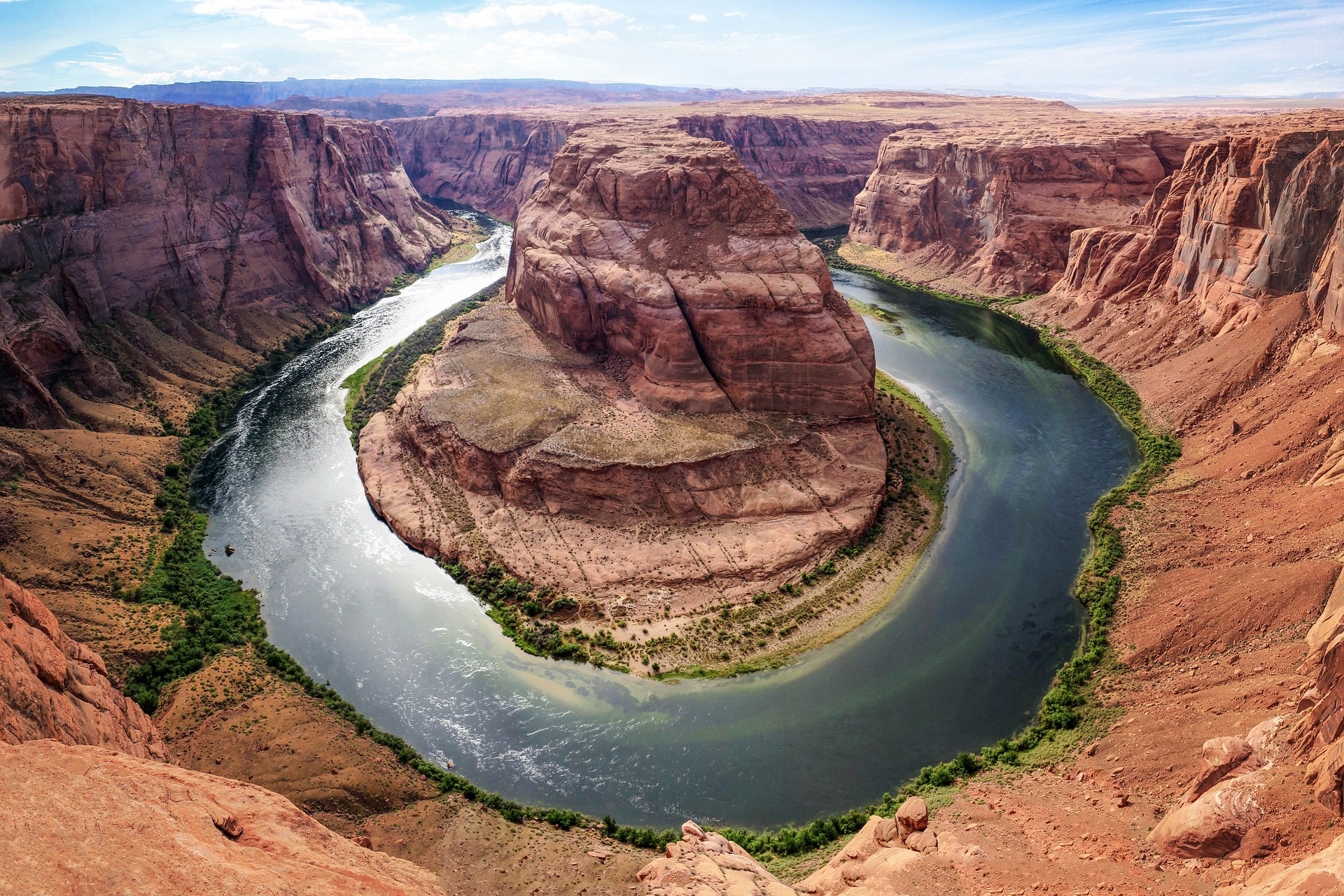
Countries: United States of America, Mexico
Source: La Poudre Pass
Outflow: Gulf of California
Length: 1,450 mi (2,333 km)
Among the most famous rivers in the US and the world is the Colorado River, which runs from La Poudre Pass in Colorado to the Gulf of California. Along with the Rio Grande, the Colorado River is another principal river in the Southwestern US and northern Mexico. Its basin spans over seven US states and two Mexican states, draining mostly arid watersheds.
The Colorado River is most famous for being a prime example of the erosive powers of rivers. This river maintained a stable course over millions of years even as the Colorado Plateau began rising 55 and 34 million years ago and reached its present height around 5 million years ago. Through eroding the land throughout its course, the Colorado River formed the Grand Canyon. The river is home to a total of 11 US National Parks and is popular for its whitewater rapids and scenic canyons.
Along with its importance as a tourist attraction, the Colorado River is also a source of water and food for early hunter-gatherers. Researchers state that Native Americans have been living along the Colorado River basin since at least 8,000 years ago. Agricultural civilizations also began to settle in the area around 2,000 to 1,000 years ago. For a time, the Colorado River supported some of the most complex native North American cultures. However, their populations severely declined due to droughts and multiple other detrimental factors.
Nowadays, aside from being a popular tourist attraction, the Colorado River also provides water to over 40 million people. The river’s strong flow also powers the electricity of a large number of cities. Since the beginning of the 20th century, numerous dams, aqueducts, and reservoirs have started to control the river and its many tributaries. Due to high consumption of water, however, the river’s waters have rarely reached the seas since the 1960s.
The Daintree River
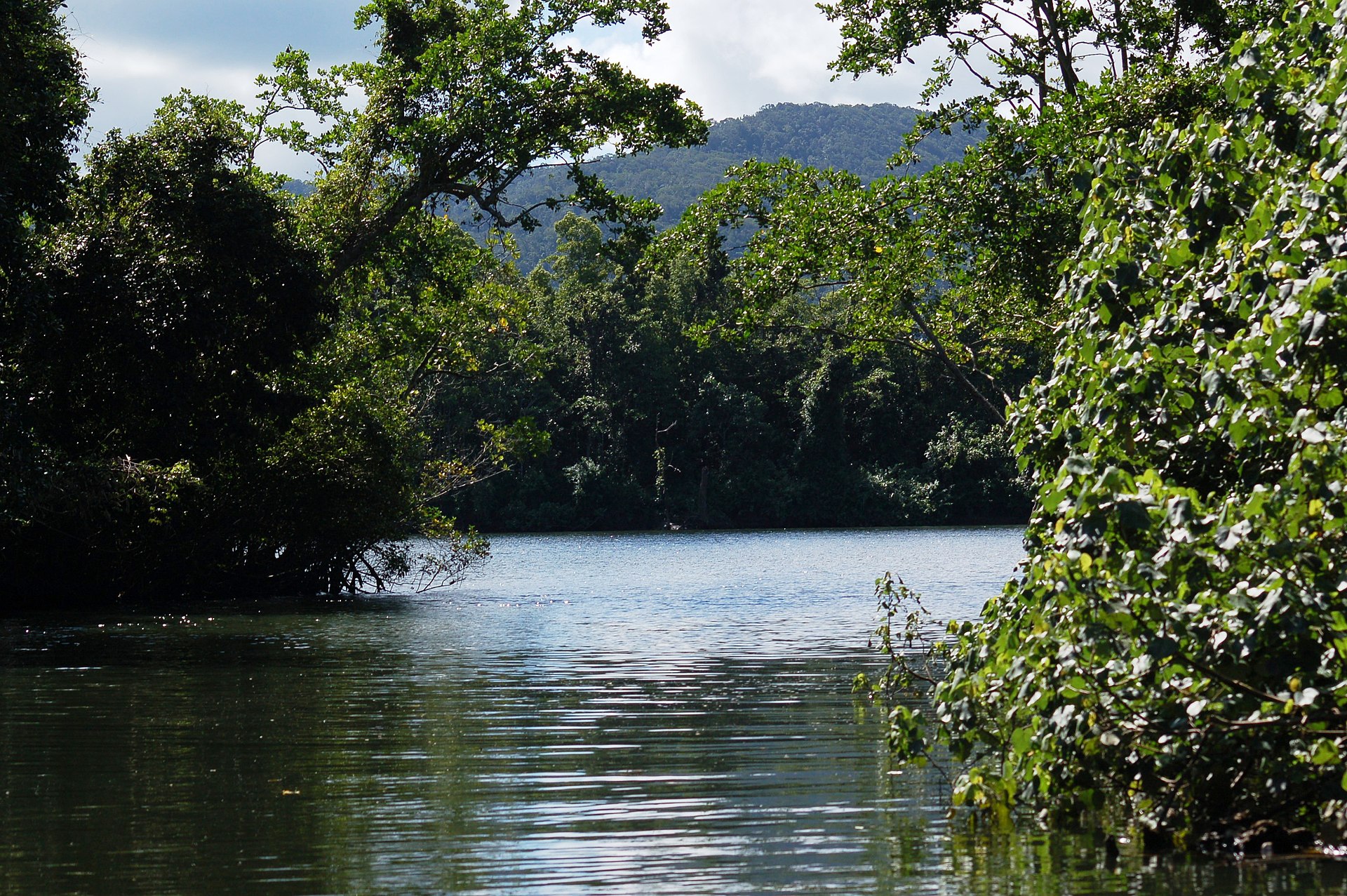
Country: Australia
Source: Daintree National Park
Outflow: Coral Sea
Length: 87 mi (140 km)
Another one among the most famous rivers that attract tourists is the Daintree River. Rising from the Daintree Rainforest, the Daintree River flows through the Wet Tropics of Queensland, a UNESCO World Heritage site. It courses over 62 mi (100 km) before emptying into the Coral Sea.
The United Nations Educational, Scientific and Cultural Organization or UNESCO listed the Wet Tropics of Queensland, including the Daintree River, as a World Heritage site in 1998. This area serves as a sanctuary for a stunning variety of tropical species. The area is also home to some of the world’s most ancient plant and animal species. One example of this is the primitive She-oak (Gymnostoma australianum), the last living species of its genus.
Because of the plethora of species that the area supports, UNESCO recognized its importance in representing multiple stages of the Earth’s evolutionary history. It showcases an intricate ecology and biological diversity. Currently, there are no bridges that cross the Daintree River and the area is only accessible by riding the Daintree River Ferry.
The Po
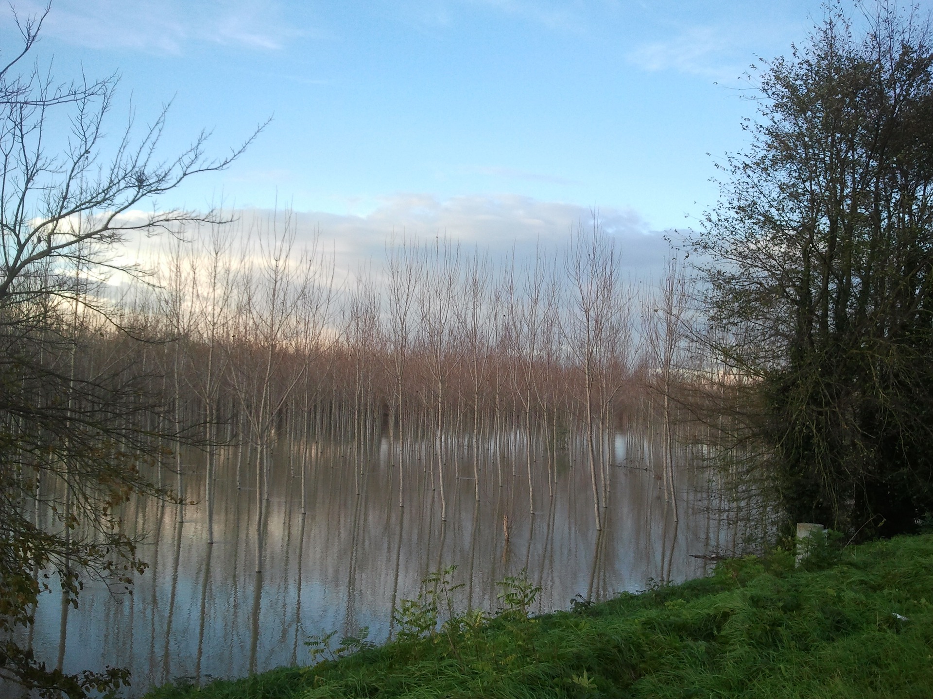
Country: Italy
Source: Monte Viso
Outflow: Adriatic Sea
Length: 405 mi (652 km)
The Po is the longest river in Italy. It rises from the Cottian Alps and travels all the way to the Adriatic Sea near Venice, Italy. For such a long river, it has a high water flow and is prone to heavy flooding. Because of this, it has a wealth of levees or flood banks throughout more than half of its length. The Po provides water to many significant cities in Italy such as Ferrara, Turin, and Piacenza. It also connects to Milan through a system of canals (navigli) that Leonardo da Vinci helped design.
The Po has been among the famous rivers since ancient times, and it went by many names in the past. Pliny the Elder, a renowned Roman author and naturalist, called it Bodincus or “bottomless”. Others associated it with the river Eridanos or Eridanus in Greek mythology. Throughout the Middle Ages, the Po served as the site of military action and was crucial in transporting river fleets.
The Hong River (Red River)
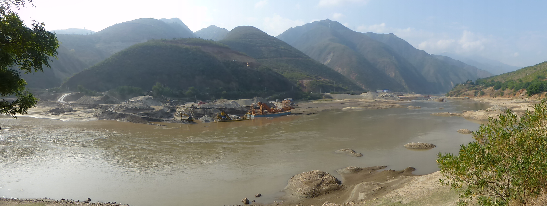
Countries: China, Vietnam
Source: Hengduan Mountains
Outflow: Gulf of Tonkin
Length: 714 mi (1,149 km)
The Hong River, Yuan River, or Red River is a geographically important river. It is among the world’s most famous rivers because it helped form the entire South China Sea around 37 million years ago. It also served as the primary trade route within Southeastern Asia until 1910. The Kunming-Haiphong Railway replaced it in 1910 as the backbone in trade, but the Hong River is still important in transportation at present. The river is also a main source of irrigation in agricultural areas. Many refer to the Hong River as the Red River because of its brownish-red hue. This characteristic color is due to the silt that the river carries.
The Ebro
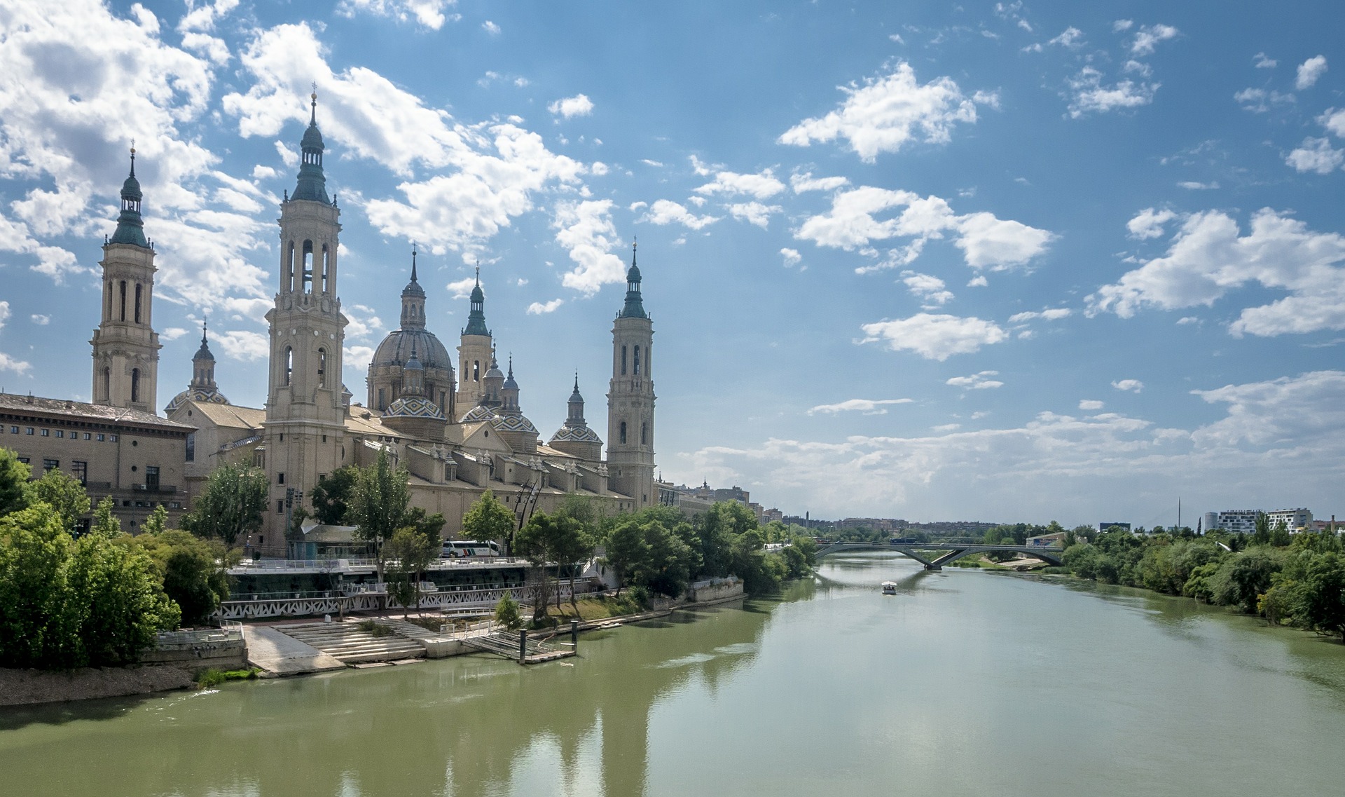
Country: Spain
Source: Cantabrian Mountains
Outflow: Mediterranean Sea
Length: 578 mi (930 km)
The Ebro is one of Spain’s most famous rivers because it’s the longest river that runs entirely within the country. Its basin features important biomes such as scrublands, Mediterranean forests, and woodlands.
Like many rivers on this list, the Ebro has been the site of major historical events such as the Punic Wars between the states of Rome and Carthage. This river also served as the site of the Battle of the Ebro, which started the Spanish Civil War.
The Ottawa River
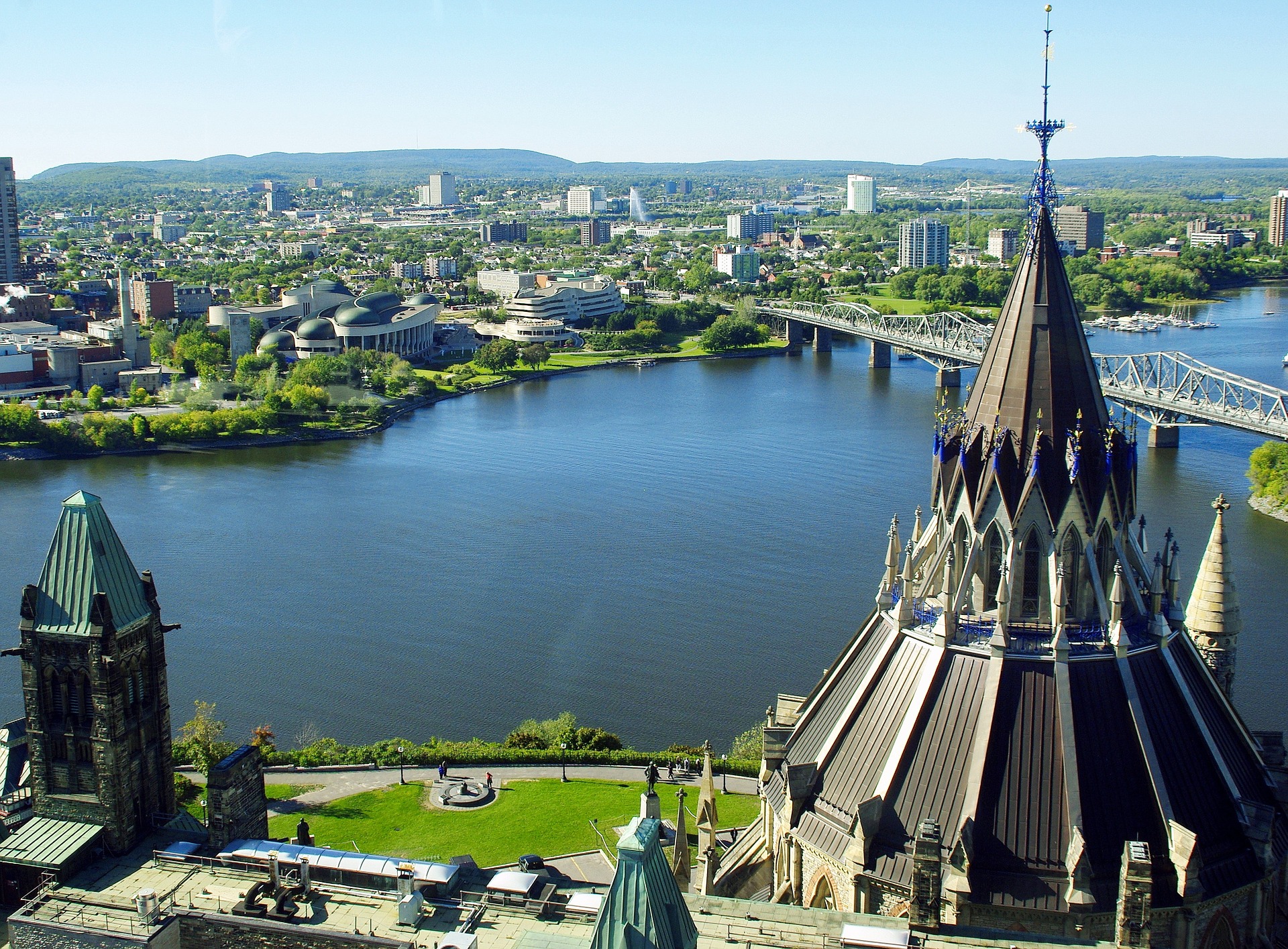
Country: Canada
Source: Lac des Outaouais
Outflow: St. Lawrence River
Length: 790 mi (1,271 km)
The Ottawa River courses through the provinces of Ontario and Quebec in Canada. It is the longest river in Quebec, and it defines the borders between the two provinces throughout most of its course. The Ottawa River runs from the north of the Laurentian Mountains of central Quebec and drains into the St. Lawrence River in Montreal.
Its name originates from the Algonquin word for “to trade” because it was a major trade route of Eastern Canada at the time of its naming. It also was the site of the Ottawa River timber trade. In modern times, it still plays an important role in the transportation and hydroelectric power. It’s certainly one of the country’s most famous rivers, and its numerous parks and waterways also serve as popular recreational areas.
The Euphrates River
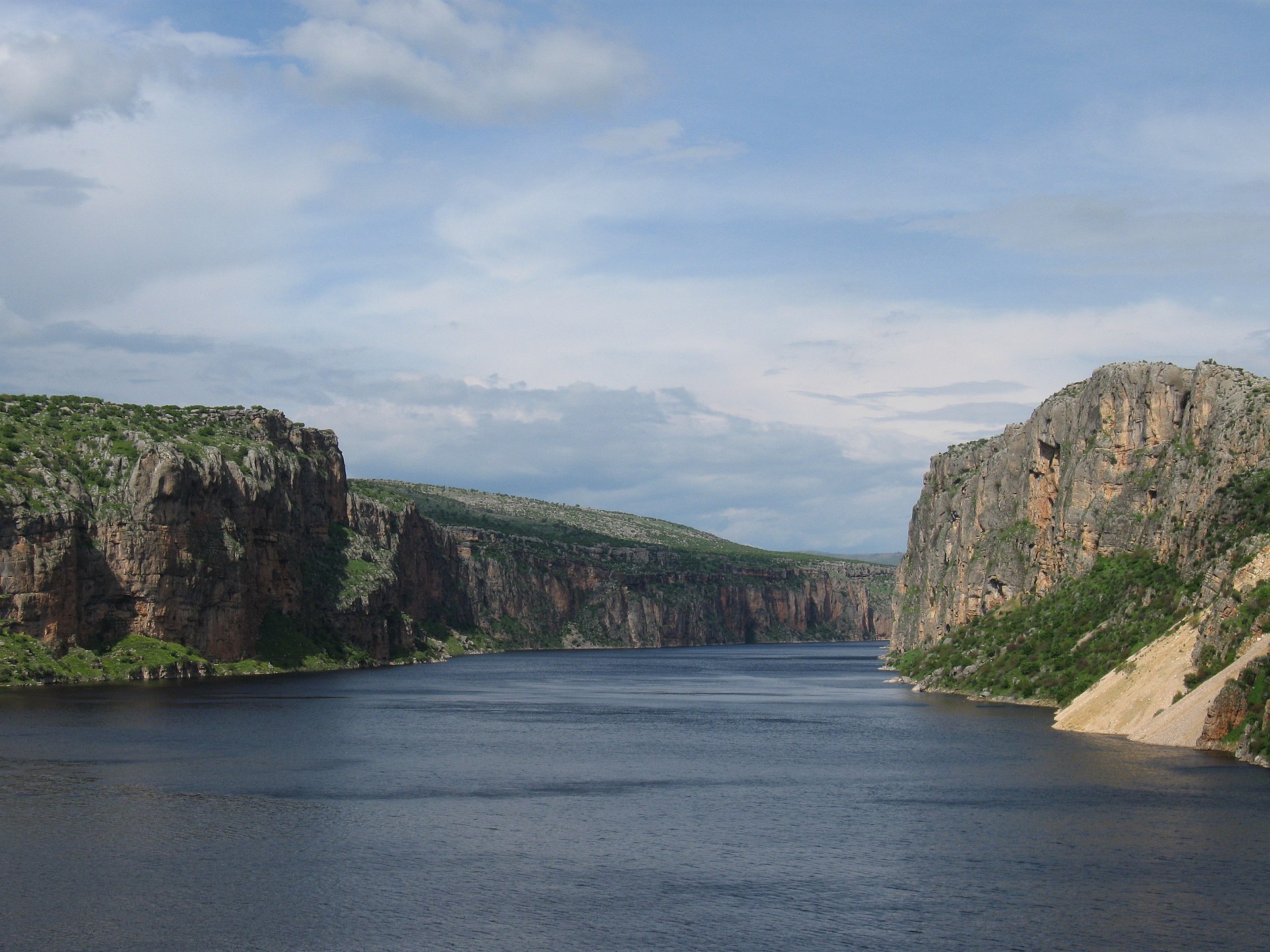
Countries: Turkey, Iraq, Syria
Sources: Murat Su, Kara Su
Outflow: Shatt al-Arab (Arvand Rud)
Length: 1,740 mi (2,800 km)
The Euphrates is among the most historically important famous rivers in Western Asia. It is one of the two great rivers (along with Tigris) that surround Mesopotamia, which roughly translates to the “Land Between the Rivers”. The large Tigris-Euphrates river system supported the Mesopotamian civilization, one of the earliest human civilizations. Within the boundaries of Mesopotamia, many human advancements arose. These include astronomy, mathematics, and even the invention of the wheel. In modern times, it provides water and hydroelectric power to numerous cities throughout its course.
The Amur River (Heilong Jiang)
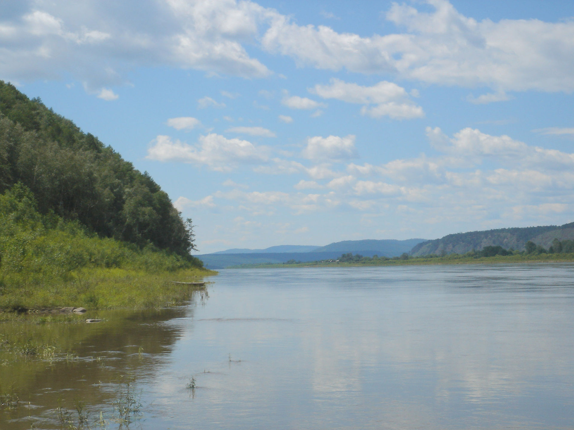
Countries: China, Russian Federation
Sources: Onon-Shilka, Argun
Outflow: Strait of Tartary
Length: 1,755 mi (2,824 km)
The Amur River, Kharamuren, or Heilong Jiang is another one among the most famous rivers in China. At 1,755 mi (2,824 km), it is China’s third longest river and the world’s tenth longest river. The Amur River also forms the Russian Far East and Northeastern China (Inner Manchuria). Its Mongolian name, Kharamuren, translates to “Black River”, and its Chinese name, Heilong Jiang, translates to Black Dragon River. The Qing Empire regarded this river as sacred. Furthermore, it is an important factor in Chinese-Russian relations.
The Amur hosts a significant diversity of species, such as the Amur leopard, one of the rarest big cats in the world. It also is home to large species of fish such as the kaluga, which can grow to over 18 feet (5.6 m) long.
The Murray River
Country: Australia
Source: Cowombat Flat
Outflow: Southern Ocean
Length: 1,588 mi (2,507 km)
At 1,588 mi (2,508 km) long, the Murray River or River Murray is the longest river in Australia. Interestingly, the next six longest Australian rivers drain into the Murray. The river starts in the Australian Alps, borders the Australian states of Victoria and New South Wales, and drains into the Southern Ocean.
Despite being such a long river, it has a relatively low water flow and can even dry up completely in periods of extreme droughts. Nevertheless, this river system is the most important irrigated region in Australia. Aside from being one of Australia’s most famous rivers, it provides water to many regions of the country. It is also home to many animals such as the platypus, the Murray carp, and the Murray River crayfish.
Throughout the world, rivers certainly tell rich stories about the world and its inhabitants. Rivers are more than just insignificant bodies of water — they give life to diverse ecosystems, dazzling geographical features, and even whole civilizations. Now that you’ve finished this list of the world’s most famous rivers, you can now add another bullet to your travel bucket list!
Was this page helpful?
Our commitment to delivering trustworthy and engaging content is at the heart of what we do. Each fact on our site is contributed by real users like you, bringing a wealth of diverse insights and information. To ensure the highest standards of accuracy and reliability, our dedicated editors meticulously review each submission. This process guarantees that the facts we share are not only fascinating but also credible. Trust in our commitment to quality and authenticity as you explore and learn with us.