


Ever wondered how GPS survey equipment works? These tools are essential for accurate mapping, construction, and even disaster management. They use satellites to pinpoint exact locations on Earth. But how accurate are they? Modern GPS survey equipment can be accurate within a few centimeters! This precision helps engineers, architects, and scientists in their daily tasks. Did you know that GPS technology was initially developed for military use? Now, it's a part of everyday life, from navigating your car to finding lost pets. Want to learn more? Here are 35 fascinating facts about GPS survey equipment that will blow your mind!
What is GPS Survey Equipment?
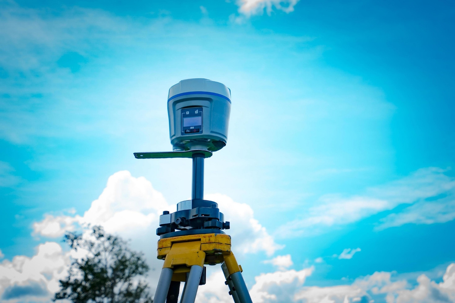
GPS survey equipment is used to determine precise locations on Earth. This technology has revolutionized fields like construction, land surveying, and even archaeology. Here are some fascinating facts about GPS survey equipment.
-
GPS stands for Global Positioning System. This system uses satellites to provide location and time information anywhere on Earth.
-
The U.S. Department of Defense developed GPS. Initially designed for military use, it became available for civilian use in the 1980s.
-
24 satellites make up the GPS constellation. These satellites orbit Earth, ensuring at least four are visible from any point on the planet.
-
GPS survey equipment can achieve centimeter-level accuracy. High-precision models can pinpoint locations within a few centimeters, crucial for tasks like mapping and construction.
-
Differential GPS (DGPS) enhances accuracy. DGPS uses a network of fixed ground-based reference stations to correct satellite signals, improving accuracy.
How Does GPS Survey Equipment Work?
Understanding how this equipment operates can be quite intriguing. It involves complex technology and precise calculations.
-
Triangulation is key. GPS receivers calculate their position by measuring the time it takes for signals from multiple satellites to reach them.
-
Atomic clocks ensure precision. Satellites carry atomic clocks, which are incredibly accurate, ensuring precise time measurements.
-
The receiver's clock is synchronized with satellite clocks. This synchronization allows for accurate distance calculations.
-
Ephemeris data is crucial. Satellites transmit this data, which includes their exact position and status, to help receivers determine their location.
-
Almanac data helps with satellite tracking. This data provides information about the orbits of all satellites in the constellation.
Applications of GPS Survey Equipment
The versatility of GPS survey equipment extends across various industries. Here are some of its most common applications.
-
Land surveying benefits immensely. Surveyors use GPS to create accurate maps and boundaries for land parcels.
-
Construction projects rely on GPS. It helps in site planning, machine control, and ensuring structures are built in the correct locations.
-
Agriculture uses GPS for precision farming. Farmers can optimize planting, fertilizing, and harvesting, increasing efficiency and yields.
-
Archaeologists use GPS for site mapping. It helps in documenting the exact locations of artifacts and excavation sites.
-
Environmental monitoring is enhanced by GPS. Scientists track changes in ecosystems, such as deforestation or glacier movements.
Advantages of Using GPS Survey Equipment
There are numerous benefits to using GPS survey equipment, making it a preferred choice for many professionals.
-
Time-saving is a significant advantage. GPS surveys can be completed much faster than traditional methods.
-
Cost-effectiveness is another benefit. Reduced labor and time translate to lower overall costs.
-
High accuracy is a standout feature. GPS provides precise measurements, reducing errors and rework.
-
Versatility makes it useful in various conditions. GPS works in diverse environments, from urban areas to remote wilderness.
-
Real-time data collection is possible. Surveyors can gather and analyze data on the spot, making immediate decisions.
Challenges and Limitations of GPS Survey Equipment
Despite its many advantages, GPS survey equipment does have some challenges and limitations.
-
Signal obstruction can be an issue. Buildings, trees, and mountains can block satellite signals, reducing accuracy.
-
Weather conditions affect performance. Heavy rain, snow, or dense clouds can interfere with signal reception.
-
Multipath errors can occur. Signals reflecting off surfaces like buildings or water can cause inaccuracies.
-
Battery life is a concern. GPS equipment relies on batteries, which can run out during extended fieldwork.
-
Initial setup can be complex. Setting up and calibrating GPS equipment requires specialized knowledge and training.
Innovations in GPS Survey Equipment
The field of GPS technology is constantly evolving, bringing new innovations and improvements.
-
GNSS is an advancement over GPS. The Global Navigation Satellite System includes other satellite constellations like GLONASS and Galileo, enhancing accuracy and reliability.
-
RTK technology offers real-time corrections. Real-Time Kinematic (RTK) GPS provides instant corrections, improving accuracy to within a few centimeters.
-
Drones equipped with GPS are revolutionizing surveying. They can quickly cover large areas, capturing high-resolution data.
-
Integration with GIS enhances capabilities. Geographic Information Systems (GIS) allow for advanced data analysis and visualization.
-
Wearable GPS devices are emerging. These portable units offer flexibility and ease of use in the field.
Fun Facts About GPS Survey Equipment
Let's end with some fun and lesser-known facts about GPS survey equipment.
-
GPS was inspired by Sputnik. The launch of the first artificial satellite in 1957 led scientists to develop satellite-based navigation.
-
GPS signals travel at the speed of light. This speed allows for precise time and distance measurements.
-
The first GPS satellite was launched in 1978. It marked the beginning of the modern GPS era.
-
GPS is free to use. Despite its advanced technology, anyone with a receiver can access GPS signals without cost.
-
GPS has a role in everyday life. From navigation apps to fitness trackers, GPS technology is integrated into many daily activities.
The Final Word on GPS Survey Equipment
GPS survey equipment has revolutionized how we map and measure our world. From pinpointing exact locations to aiding in construction projects, these tools have become indispensable. They offer unmatched accuracy, efficiency, and reliability, making them a go-to for professionals across various fields. Whether you're a surveyor, engineer, or just a tech enthusiast, understanding the capabilities and benefits of GPS survey equipment can be incredibly valuable.
These devices not only save time but also reduce human error, ensuring that projects are completed with precision. As technology continues to advance, we can expect even more innovative features and improvements in GPS survey equipment. So, the next time you see a surveyor at work, you'll know just how crucial their tools are in shaping the world around us.
Was this page helpful?
Our commitment to delivering trustworthy and engaging content is at the heart of what we do. Each fact on our site is contributed by real users like you, bringing a wealth of diverse insights and information. To ensure the highest standards of accuracy and reliability, our dedicated editors meticulously review each submission. This process guarantees that the facts we share are not only fascinating but also credible. Trust in our commitment to quality and authenticity as you explore and learn with us.