


Map projections are essential tools in cartography, transforming the 3D surface of Earth into a 2D map. But did you know there are over 200 different types of map projections? Each serves a unique purpose, whether for navigation, education, or scientific research. Mercator, Robinson, and Lambert are just a few names you might recognize. These projections can distort shapes, areas, distances, or directions, depending on their design. For instance, the Mercator projection is great for navigation but makes Greenland look enormous compared to Africa. Understanding these differences helps us appreciate the complexity and artistry behind every map we use. Ready to dive into the world of map projections? Let's explore 28 fascinating facts about them!
What Are Map Projections?
Map projections are methods used to represent the curved surface of the Earth on a flat surface. Each projection has its own set of advantages and disadvantages, making them suitable for different purposes.
-
Mercator Projection: Developed by Gerardus Mercator in 1569, this projection is famous for its use in navigation because it preserves angles and directions.
-
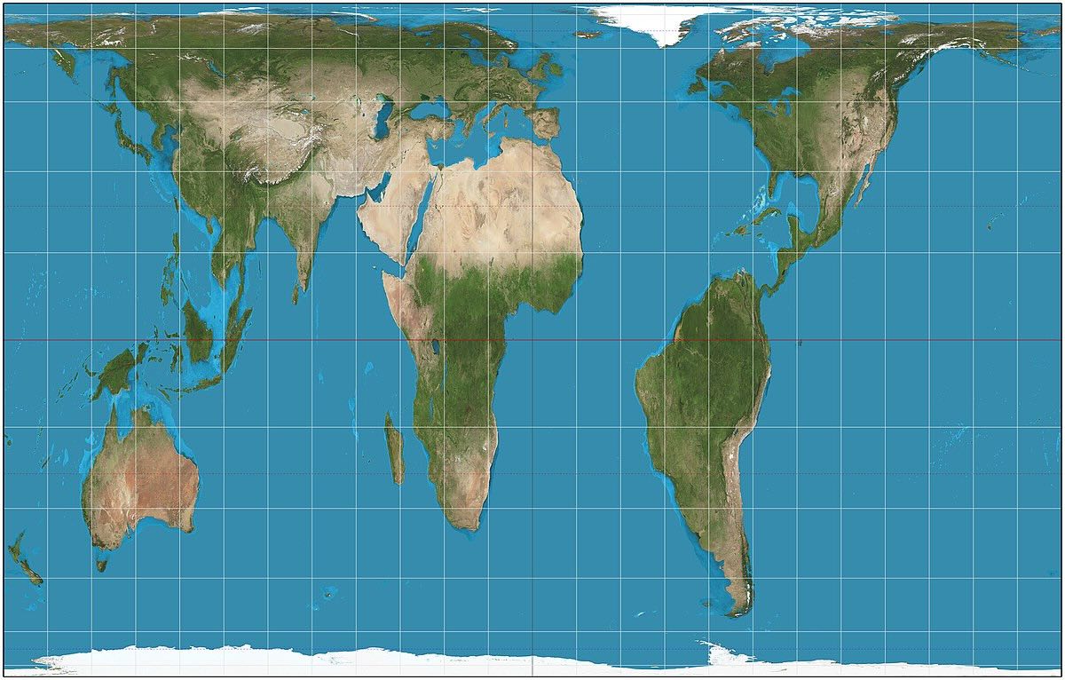
Peters Projection: Introduced by Arno Peters in 1974, this projection aims to represent all areas equally, making it popular for educational purposes.
-
Robinson Projection: Created by Arthur H. Robinson in 1963, this projection balances size and shape, making it visually appealing for world maps.
-
Goode's Homolosine Projection: This projection minimizes distortion by combining the Sinusoidal and Mollweide projections, often used for thematic maps.
-
Mollweide Projection: Developed by Karl Brandan Mollweide in 1805, it is an equal-area projection, useful for showing global distributions.
Why Do We Need Different Map Projections?
Different map projections serve various purposes, from navigation to education. Each projection distorts some aspects of the Earth's surface, so choosing the right one depends on the map's intended use.
-
Distortion: All map projections distort the Earth's surface in some way, whether it's shape, area, distance, or direction.
-
Navigation: Projections like Mercator are crucial for navigation because they preserve angles and directions, making them ideal for sea travel.
-
Education: Projections like Peters are used in educational settings to provide a more accurate representation of the world's landmasses.
-
Thematic Maps: Projections like Goode's Homolosine are used for thematic maps to minimize distortion and accurately represent data.
-
Visual Appeal: Projections like Robinson are chosen for their balanced representation, making them visually appealing for general use.
Historical Map Projections
Map projections have evolved over centuries, each reflecting the knowledge and needs of its time. Some historical projections are still in use today.
-
Ptolemy's Projection: Claudius Ptolemy's 2nd-century projection was one of the earliest attempts to represent the Earth on a flat surface.
-
Behrmann Projection: Developed in the early 20th century, this cylindrical projection is used for world maps, balancing area and shape.
-
Bonne Projection: Created by Rigobert Bonne in the 18th century, this projection is used for maps of continents and regions.
-
Sinusoidal Projection: This projection, dating back to the 16th century, is used for global maps, preserving area but distorting shape.
-
Gall-Peters Projection: James Gall and Arno Peters developed this projection independently, focusing on equal-area representation.
Modern Map Projections
Modern map projections incorporate advanced mathematical techniques to minimize distortion and improve accuracy.
-
Winkel Tripel Projection: Developed by Oswald Winkel in 1921, this projection is used by National Geographic for world maps due to its balanced representation.
-
Eckert IV Projection: Created by Max Eckert in the early 20th century, this projection is used for thematic and world maps, preserving area.
-
Lambert Conformal Conic Projection: This projection is used for aeronautical charts because it preserves angles, making it ideal for navigation.
-
Azimuthal Equidistant Projection: This projection is used for radio and seismic mapping, preserving distances from a central point.
-
Orthographic Projection: This projection simulates a view from space, making it useful for visualizing the Earth as seen from a distance.
Specialized Map Projections
Some map projections are designed for specific applications, such as climate studies or population density maps.
-
Albers Equal-Area Conic Projection: This projection is used for maps of the United States, preserving area and minimizing distortion.
-
Polyconic Projection: This projection is used for large-scale maps, such as topographic maps, because it preserves shape and scale.
-
Stereographic Projection: This projection is used for polar regions, preserving angles and shapes, making it ideal for polar navigation.
-
Transverse Mercator Projection: This projection is used for large-scale mapping, such as national grids, preserving angles and shapes.
-
Hammer Projection: Developed by Ernst Hammer in 1892, this projection is used for world maps, balancing area and shape.
Fun Facts About Map Projections
Map projections can be fascinating and sometimes quirky. Here are some fun facts that might surprise you.
-
Tissot's Indicatrix: This mathematical tool is used to visualize distortion on map projections, showing how shapes and areas are affected.
-
Dymaxion Map: Created by Buckminster Fuller, this projection unfolds the Earth into an icosahedron, minimizing distortion and emphasizing global connections.
-
Waterman Butterfly Projection: This unique projection folds the Earth into a butterfly shape, preserving area and minimizing distortion.
The Final Word on Map Projections
Map projections are fascinating. They show how we view our world. Each type has its own strengths and weaknesses. Some are great for navigation, while others are better for showing accurate shapes or sizes. Understanding these differences helps us appreciate the complexity behind every map we see. From the Mercator to the Robinson, each projection offers a unique lens. Next time you look at a map, think about the choices made to create it. Remember, no map is perfect, but each serves a purpose. Whether you're a student, a traveler, or just curious, knowing a bit about map projections can change how you see the world. So, keep exploring and questioning the maps you encounter. They’re more than just lines and colors; they’re a blend of art and science.
Was this page helpful?
Our commitment to delivering trustworthy and engaging content is at the heart of what we do. Each fact on our site is contributed by real users like you, bringing a wealth of diverse insights and information. To ensure the highest standards of accuracy and reliability, our dedicated editors meticulously review each submission. This process guarantees that the facts we share are not only fascinating but also credible. Trust in our commitment to quality and authenticity as you explore and learn with us.