


Written by Elga Hanner
Modified & Updated: 11 Oct 2024
Reviewed by Sherman Smith
If you’ve ever looked at a topographic map, chances are you’ve come across those mysterious and intriguing squiggly lines known as contour lines. But what exactly are contour lines, and what do they represent?
Contour lines are an essential tool used in geography and cartography to represent the shape and elevation of the Earth’s surface. They connect points of equal elevation, providing a visual representation of the landscape’s topography. While they may seem like simple lines, contour lines hold a wealth of information about the land, allowing us to understand and navigate the terrain.
In this article, we will delve into the world of contour lines and uncover some surprising facts about their creation, uses, and importance. So buckle up and get ready to immerse yourself in the fascinating world of contour lines!
Key Takeaways:
- Contour lines are imaginary lines that show the shape of the land and help hikers plan their routes. They never cross and can even reveal the direction of rivers.
- Contour lines are used in farming, flood planning, and creating 3D models. They come in different colors on maps and are crucial for understanding elevation changes.
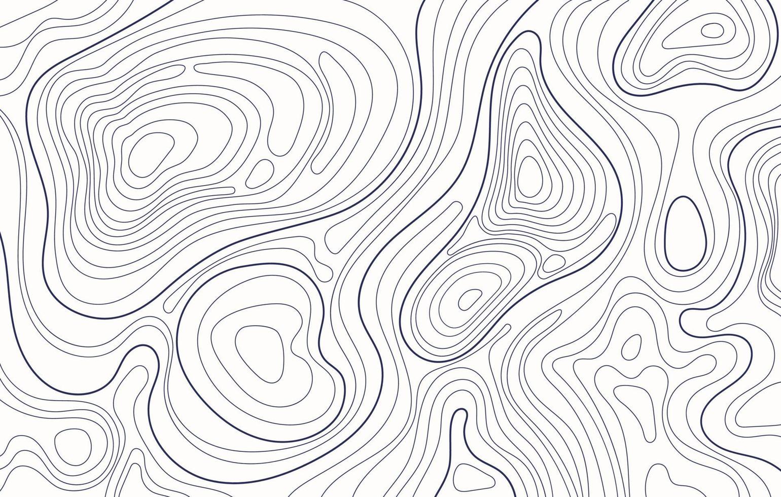
Contour lines are imaginary lines
Contour lines are imaginary lines that connect points of equal elevation on a map or a topographic surface. They help to depict the shape and form of the land.
Contour lines never cross each other
One interesting fact about contour lines is that they never cross each other on a map. This is because each contour line represents a specific elevation, and two different elevations cannot exist at the same point.
Contour lines reveal the steepness of the terrain
The spacing between contour lines can indicate the steepness of the terrain. When contour lines are close together, it indicates a steep slope, while widely spaced lines suggest a more gradual incline.
Contour lines can form concentric circles
In areas with an elevation change in all directions, contour lines can form concentric circles. These circles indicate a hill or a mountain peak.
Contour lines can form “V” shapes
Contour lines that form “V” shapes point upstream in valleys and indicate a flowing body of water.
Contour lines can be used to determine the direction of a river
By observing the shape and orientation of contour lines, it is possible to determine the general direction of a river or stream. The contour lines will generally flow perpendicular to the river’s course.
Contour lines can help in planning hiking trails
Hikers and trail enthusiasts often refer to topographic maps with contour lines to plan their routes. The contour lines provide valuable information about the terrain’s elevation changes, helping them decide on the best paths.
Contour lines are widely used in landscape architecture
Landscape architects often utilize contour lines to design and create aesthetically pleasing and functional outdoor spaces. The lines help them understand the topography of the land and determine the best placement for various design elements.
Contour lines can help in flood assessment and planning
By analyzing contour lines and understanding the elevation changes, engineers and urban planners can assess the risk of flooding in a particular area. This information can be used to develop appropriate flood control measures and infrastructure.
Contour lines are essential for contour farming
In agriculture, contour lines are used in contour farming, a technique that involves cultivating and planting crops along the contour lines. This helps to reduce soil erosion and conserve water by slowing down the flow of water across the land.
Contour lines are used in creating 3D models
Contour lines play a crucial role in creating accurate 3D models of landscapes and terrains. These models are used in various industries, including urban planning, architecture, and video game development.
Contour lines are represented by different colors on maps
On topographic maps, contour lines are often represented by different colors to make it easier to understand the elevation changes. Each color represents a specific range of elevations, allowing users to quickly identify the variations in the terrain.
So, there you have it – the 12 surprising facts about contour lines. Whether you’re a cartographer, a hiker, or simply interested in geography, understanding contour lines and their significance can greatly enhance your knowledge of the world around us.
Conclusion
In conclusion, contour lines are a fascinating aspect of geography that provide valuable information about the shape and characteristics of the Earth’s surface. By understanding how contour lines work and how to read them, we can gain insights into the topography of a particular region.
Contour lines help us visualize elevation changes, identify slopes and valleys, and plan routes for hiking and other outdoor activities. They are also crucial in fields such as cartography, engineering, and environmental science.
These 12 surprising facts about contour lines have shed light on their importance and versatility. From their historical significance to their role in analyzing landforms, contour lines continue to play a vital role in shaping our understanding of the world around us.
So, the next time you come across a map or a hiking trail marked with contour lines, take a moment to appreciate the wealth of information they provide and the remarkable insights they offer into the Earth’s ever-changing surface.
FAQs
Q: What are contour lines?
A: Contour lines are imaginary lines that connect points of equal elevation on a map, representing the shape and relief of the land surface.
Q: How are contour lines created?
A: Contour lines are generated by surveying the land and measuring elevations at specific intervals. These measurements are then used to create a detailed map with contour lines accurately depicting the terrain.
Q: What information can be gleaned from contour lines?
A: Contour lines provide essential information about the slope, height, and features of the land. They can help identify steep slopes, valleys, ridges, and even changes in landforms such as cliffs and mountains.
Q: How can contour lines be used in navigation?
A: Contour lines are invaluable for planning routes, whether it’s hiking, mountaineering, or even driving in hilly or mountainous areas. By following the contour lines, one can determine the best path to take and anticipate any challenging terrain ahead.
Q: Are contour lines used in any other fields besides geography?
A: Yes, contour lines are widely used in fields such as engineering, cartography, urban planning, environmental science, and even archaeology. They provide crucial information for designing infrastructure, analyzing landscapes, and conducting research.
Q: Are contour lines accurate representations of the land surface?
A: While contour lines provide a valuable overview of the land, they cannot capture every minute detail. The accuracy of contour lines depends on various factors, including the scale of the map and the precision of the surveying methods used.
Q: Can contour lines change over time?
A: Yes, contour lines can change due to natural processes such as erosion, deposition, and tectonic activity. As the Earth’s surfaces evolve, contour lines need to be updated periodically to maintain accurate representations of the land.
Q: What is the significance of contour lines in environmental science?
A: Contour lines are crucial in analyzing and understanding factors such as water flow, drainage patterns, and ecosystem dynamics. They help scientists study the impact of topography on wildlife habitats, hydrological systems, and climate patterns.
Q: Can contour lines be used to determine the age of landforms?
A: Contour lines alone cannot provide direct information about the age of landforms. However, they can aid in determining the relative age of land features by analyzing their shape, elevation, and relationship with surrounding landforms.
Q: Can contour lines be misleading?
A: Contour lines are designed to accurately represent the land surface, but they can sometimes be deceiving if not properly understood. It is essential to consider the map’s scale, contour interval, and additional information provided to interpret contour lines correctly.
Q: How can I learn to read contour lines on a map?
A: There are numerous online resources, books, and tutorials available to help you understand and interpret contour lines effectively. Practice, familiarity with map symbols, and understanding the concept of contour intervals are key to becoming proficient in reading contour lines.
Q: Can contour lines be found on digital maps and GPS devices?
A: Yes, digital maps and GPS devices often include contour lines as a layer, providing users with valuable information about the terrain when navigating electronically. These electronic representations of contour lines are immensely helpful for outdoor enthusiasts and hikers.
Was this page helpful?
Our commitment to delivering trustworthy and engaging content is at the heart of what we do. Each fact on our site is contributed by real users like you, bringing a wealth of diverse insights and information. To ensure the highest standards of accuracy and reliability, our dedicated editors meticulously review each submission. This process guarantees that the facts we share are not only fascinating but also credible. Trust in our commitment to quality and authenticity as you explore and learn with us.