Turn Your Curiosity Into Discovery
Airlines
Facts
Celebrity
Facts
Characters
Facts
Pokemon
Facts
Culture & The Arts
Facts
Games and Toys
Facts
Mass Media
Facts
Performing Arts
Facts
Visual Arts
Facts
Earth & Life Science
Facts
Biology
Facts
Earth Sciences
Facts
Nature
Facts
Physical Sciences
Facts
Events
Facts
Fitness & Wellbeing
Facts
Dentistry
Facts
Exercise
Facts
Health Science
Facts
Hygiene
Facts
Medicine
Facts
Nutrition
Facts
Psychology
Facts
Public Health
Facts
General
History
Facts
Culture
Facts
Historical Events
Facts
People
Facts
Religion
Facts
Human Activities
Facts
Human Activities
Facts
Impact of Human Activity
Facts
Lifestyle
Facts
Entertainment
Facts
Food
Facts
Health
Facts
Sports
Facts
Mathematics & Logic
Facts
Fields of Mathematics
Facts
Mathematical Sciences
Facts
Mathematics
Facts
Movie
Facts
Nature
Facts
Animals
Facts
Human Body
Facts
Plants
Facts
Universe
Facts
Philosophy & Thinking
Facts
Philosophy
Facts
Thinking Skills
Facts
Reviews
Facts
Science
Facts
Biology
Facts
Chemistry
Facts
Geography
Facts
Physics
Facts
Technology
Facts
Society & Social Sciences
Facts
Social Sciences
Facts
Society
Facts
Tech & Sciences
Facts
Agriculture
Facts
Computing
Facts
Electronics
Facts
Engineering
Facts
Transport
Facts
World
Facts
Cities
Facts
Countries
Facts
Landmarks
Facts
US States
Facts
All Categories
Everything Else
Facts
Forum
Gallery
Quotes
Latest Facts
Sports
31 Jan 2026
30 Facts About LSU Basketball
Sports
31 Jan 2026
25 Facts About KC Boutiette
Home
History
Facts
History Facts
Culture
Facts
Historical Events
Facts
People
Facts
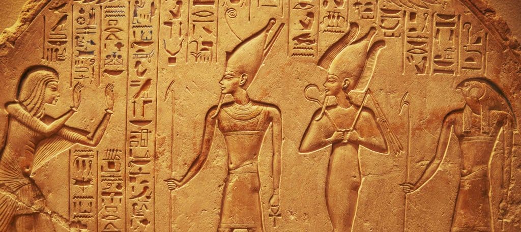
Religion
Facts
People
31 Jan 2026
25 Facts About Ezra Sosa
People
31 Jan 2026
25 Facts About John Foster
Culture
31 Jan 2026
25 Facts About Dry January
Culture
31 Jan 2026
25 Facts About Mummers
People
30 Jan 2026
25 Facts About Mark Levine Comptroller
People
30 Jan 2026
25 Facts About Jenna Purdy
People
30 Jan 2026
25 Facts About Tricia McLaughlin
Culture
30 Jan 2026
25 Facts About Eating 12 Grapes
Culture
30 Jan 2026
25 Facts About New Years Day Superstitions
People
30 Jan 2026
25 Facts About Vanessa Horabuena
People
30 Jan 2026
25 Facts About Margo Martin
Culture
30 Jan 2026
25 Facts About New Years Day Traditions
People
30 Jan 2026
30 Facts About Chief Justice John Roberts
Culture
29 Jan 2026
25 Facts About Ano Novo
People
29 Jan 2026
25 Facts About Christian Sturdivant
People
29 Jan 2026
25 Facts About Dr Karri Turner Bryant
People
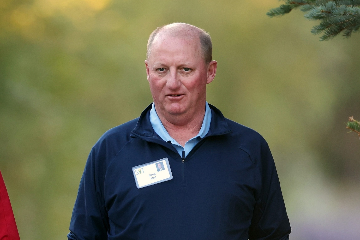
28 Jan 2026
25 Facts About Greg Abel
People
27 Jan 2026
25 Facts About Nasry Asfura
People
24 Jan 2026
25 Facts About Ryker Lee
People
24 Jan 2026
25 Facts About Hilary Musser
People
24 Jan 2026
25 Facts About Maduro And Venezuela
People
23 Jan 2026
25 Facts About Jonathan Boley
People
23 Jan 2026
25 Facts About Thomas Goldstein
People
23 Jan 2026
25 Facts About Nicole Osbourne
People
23 Jan 2026
25 Facts About Edmond Safra
People
22 Jan 2026
25 Facts About Seymour Hersh
People
22 Jan 2026
25 Facts About Elise Stefanik For NY Governor
People
21 Jan 2026
25 Facts About US District Judge Anne M Nardacci
People
21 Jan 2026
30 Facts About Mike Pence
Culture
20 Jan 2026
25 Facts About Noche Buena
People
20 Jan 2026
25 Facts About NicolasJacques Charrier
People
20 Jan 2026
25 Facts About Damola Adamolekun
People
19 Jan 2026
30 Facts About Aileen Wuornos
People
19 Jan 2026
25 Facts About Sajid Akram
Culture
18 Jan 2026
25 Facts About Carolers Count
Culture
18 Jan 2026
25 Facts About Christmas Cards
People
18 Jan 2026
25 Facts About Colston Loveland
People
18 Jan 2026
25 Facts About Jonah Freud
Historical Events
18 Jan 2026
25 Facts About What Is Intifada
Religion
18 Jan 2026
25 Facts About Archbishop Cardinal Dolan
People
18 Jan 2026
25 Facts About Mica Miller
People
18 Jan 2026
25 Facts About Gary Winnick
People
17 Jan 2026
25 Facts About Aimee Bock
People
15 Jan 2026
25 Facts About Tylor Chase
People
15 Jan 2026
25 Facts About Sameer Minhas
People
15 Jan 2026
30 Facts About Kellyanne Conway
People
14 Jan 2026
25 Facts About Romeo Acop
People
14 Jan 2026
25 Facts About DC Police Chief Pamela Smith
History
14 Jan 2026
25 Facts About Sceptres
Culture
11 Jan 2026
30 Facts About Seasonal Holidays
Posts navigation
1
2
…
158
Next
Trending Facts
General
16 Jan 2020
300 Crazy Fun Facts To Start Your Day
General
06 Feb 2020
100 Interesting Facts That Will Boggle Your Mind
General
31 Jan 2020
300 Random Facts No One Knows What To Do With
General
07 Feb 2020
100 Nutrition Facts To An Easier And Healthier Lifestyle
General
04 Feb 2020
100 Amazing Facts That Will Blow Your Mind
General
31 Jan 2020
300 WTF Facts That Will Make You Question Everything
General
17 Jan 2020
300 Weird Facts To Confuse And Amaze You
General
07 Feb 2020
100 Did You Know Facts Most People Have Never Heard About


16 Jan 2020
06 Feb 2020
31 Jan 2020
07 Feb 2020
04 Feb 2020
31 Jan 2020
17 Jan 2020
07 Feb 2020