


Isotherms are imaginary lines on a map connecting points with the same temperature at a given time or over a period. But why should you care about these lines? Isotherms help meteorologists predict weather patterns, understand climate zones, and even track global warming. They are crucial for farmers planning crops, pilots navigating flights, and anyone interested in the weather. By examining isotherms, we can see how temperature varies across regions and seasons. This knowledge can influence everything from daily activities to long-term planning. Ready to learn some cool facts about isotherms? Let's dive in!
What is an Isotherm?
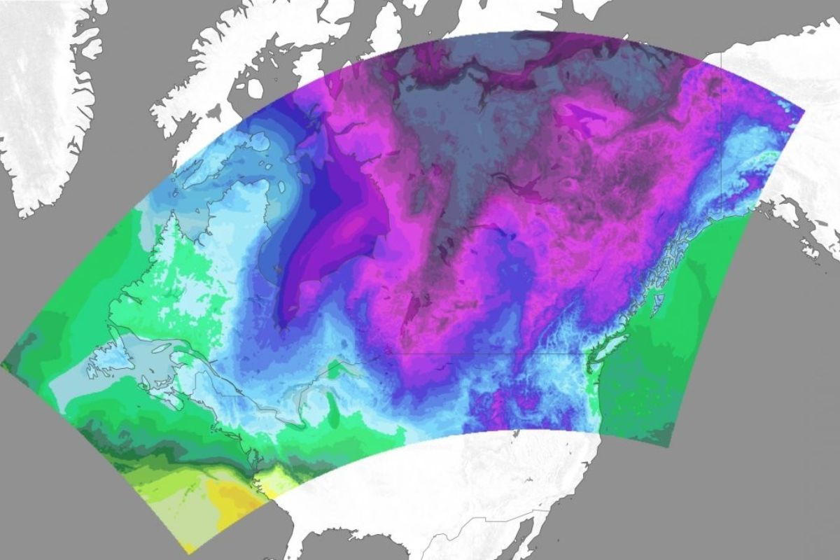
Isotherms are lines on a weather map that connect points of equal temperature. They help meteorologists understand temperature patterns and predict weather changes. Let's dive into some fascinating facts about isotherms.
-
Isotherms are crucial for weather forecasting. By analyzing isotherms, meteorologists can predict temperature changes and weather patterns more accurately.
-
The word 'isotherm' comes from Greek. It combines "iso," meaning equal, and "therme," meaning heat.
-
Isotherms can be found on various types of maps. These include surface weather maps, upper-air maps, and even oceanographic maps.
-
They help identify temperature gradients. Sharp changes in temperature over a short distance are easily spotted using isotherms.
-
Isotherms are used in climate studies. They help scientists understand long-term temperature trends and climate change.
How Are Isotherms Drawn?
Drawing isotherms involves connecting points of equal temperature on a map. This process requires accurate temperature data and careful analysis.
-
Meteorologists use temperature data from weather stations. These stations provide the necessary data points to draw isotherms.
-
Isotherms are usually drawn at regular intervals. Common intervals include 5°C or 10°F.
-
They can be drawn manually or using software. Advanced weather software can automatically generate isotherms from temperature data.
-
Isotherms must be smooth and continuous. They should not have sharp angles or breaks.
-
They never cross each other. Each isotherm represents a unique temperature, so they cannot intersect.
Importance of Isotherms in Meteorology
Isotherms play a vital role in understanding and predicting weather patterns. They provide valuable insights into temperature distribution and changes.
-
They help identify weather fronts. Isotherms can indicate the presence of cold fronts, warm fronts, and stationary fronts.
-
Isotherms reveal temperature anomalies. Unusual temperature patterns, such as heatwaves or cold snaps, are easily spotted.
-
They assist in identifying high and low-pressure systems. Temperature patterns often correlate with pressure systems, helping meteorologists predict weather changes.
-
Isotherms are used in weather models. These models simulate future weather conditions based on current data, including isotherms.
-
They aid in understanding seasonal changes. Isotherms show how temperatures shift with the changing seasons.
Historical Significance of Isotherms
Isotherms have been used for centuries to study and understand weather patterns. Their historical significance is immense.
-
The first isotherm map was created in 1817. German scientist Alexander von Humboldt is credited with this achievement.
-
Isotherms were crucial in early climate studies. They helped scientists understand global temperature distribution.
-
They played a role in the development of meteorology. Early meteorologists used isotherms to study weather patterns and improve forecasting techniques.
-
Isotherms have been used in oceanography. They help study sea surface temperatures and ocean currents.
-
They contributed to the study of global warming. Isotherms have been used to track temperature changes over time, providing evidence of global warming.
Modern Applications of Isotherms
Today, isotherms are used in various fields beyond meteorology. Their applications are diverse and impactful.
-
Isotherms are used in agriculture. Farmers use them to understand temperature patterns and plan their planting and harvesting schedules.
-
They assist in energy management. Energy companies use isotherms to predict heating and cooling demands.
-
Isotherms are used in aviation. Pilots use them to understand temperature patterns at different altitudes.
-
They play a role in environmental science. Isotherms help study temperature-related environmental changes.
-
Isotherms are used in urban planning. City planners use them to design buildings and infrastructure that can withstand temperature extremes.
Fun Facts About Isotherms
Isotherms have some interesting and fun aspects that make them even more fascinating.
-
Isotherms can create beautiful patterns. When drawn on a map, they often form intricate and visually appealing designs.
-
They can be used in art. Some artists use isotherms to create unique and scientifically inspired artwork.
-
Isotherms can be found in nature. Natural phenomena, such as ocean currents and wind patterns, can create isotherm-like lines.
-
They are used in education. Teachers use isotherms to help students understand temperature patterns and weather forecasting.
-
Isotherms can be interactive. Some weather websites and apps allow users to interact with isotherm maps, providing a hands-on learning experience.
Challenges in Using Isotherms
Despite their usefulness, isotherms come with some challenges. Understanding these challenges is crucial for accurate weather forecasting.
-
Data accuracy is essential. Inaccurate temperature data can lead to incorrect isotherms and flawed weather predictions.
-
Isotherms can be affected by local factors. Mountains, bodies of water, and urban areas can influence temperature patterns, complicating isotherm drawing.
-
They require constant updating. Temperature patterns change frequently, so isotherms must be regularly updated to remain accurate.
-
Interpreting isotherms can be complex. Understanding the implications of isotherm patterns requires expertise and experience.
The Final Chill
Isotherms, those fascinating lines on weather maps, reveal so much about our planet's climate. They help meteorologists predict weather patterns, farmers plan crops, and even scientists understand climate change. By connecting points of equal temperature, isotherms provide a snapshot of the Earth's atmospheric conditions.
Understanding isotherms can make you appreciate the complexity and beauty of our world. Whether you're a student, a weather enthusiast, or just curious, knowing these facts can deepen your appreciation for how interconnected everything is. From the equator's warmth to the polar chills, isotherms are a key to unlocking the mysteries of our environment.
So next time you see a weather map, take a moment to notice those lines. They’re not just squiggles; they’re a window into the dynamic system that keeps our planet ticking. Stay curious, and keep exploring the wonders of our world!
Was this page helpful?
Our commitment to delivering trustworthy and engaging content is at the heart of what we do. Each fact on our site is contributed by real users like you, bringing a wealth of diverse insights and information. To ensure the highest standards of accuracy and reliability, our dedicated editors meticulously review each submission. This process guarantees that the facts we share are not only fascinating but also credible. Trust in our commitment to quality and authenticity as you explore and learn with us.