


Contours are more than just lines on a map; they tell stories about the land's shape and elevation. Ever wondered how hikers know which trails are steep or gentle? Contours are the secret! These lines connect points of equal elevation, helping us visualize the ups and downs of terrain. Whether you're planning a hike, studying geography, or just curious about how maps work, understanding contours can be super helpful. They reveal the hidden details of landscapes, making it easier to navigate and appreciate the world around us. Ready to learn some cool facts about contours? Let's get started!
What Are Contours?
Contours are lines on a map that connect points of equal elevation. They help visualize the shape and elevation of the land. Let's dive into some fascinating facts about contours.
-
Contours show elevation: These lines represent the height above sea level, making it easier to understand the terrain.
-
Close lines mean steep slopes: When contour lines are close together, the slope is steep. Widely spaced lines indicate a gentle slope.
-
Contour intervals matter: The vertical space between contour lines is called the contour interval. It can vary depending on the map's scale.
-
Index contours stand out: Every fifth contour line is usually an index contour, drawn thicker to help users quickly gauge elevation.
-
Contours never cross: Contour lines never intersect because a single point can't have two different elevations.
How Contours Are Used
Contours have practical applications in various fields. They help in planning, construction, and even outdoor activities.
-
Topographic maps: These maps use contour lines to represent the terrain, helping hikers and planners understand the landscape.
-
Engineering projects: Engineers use contour maps to design roads, bridges, and buildings, ensuring structures fit the terrain.
-
Flood risk assessment: Contour maps help identify areas at risk of flooding by showing low-lying regions.
-
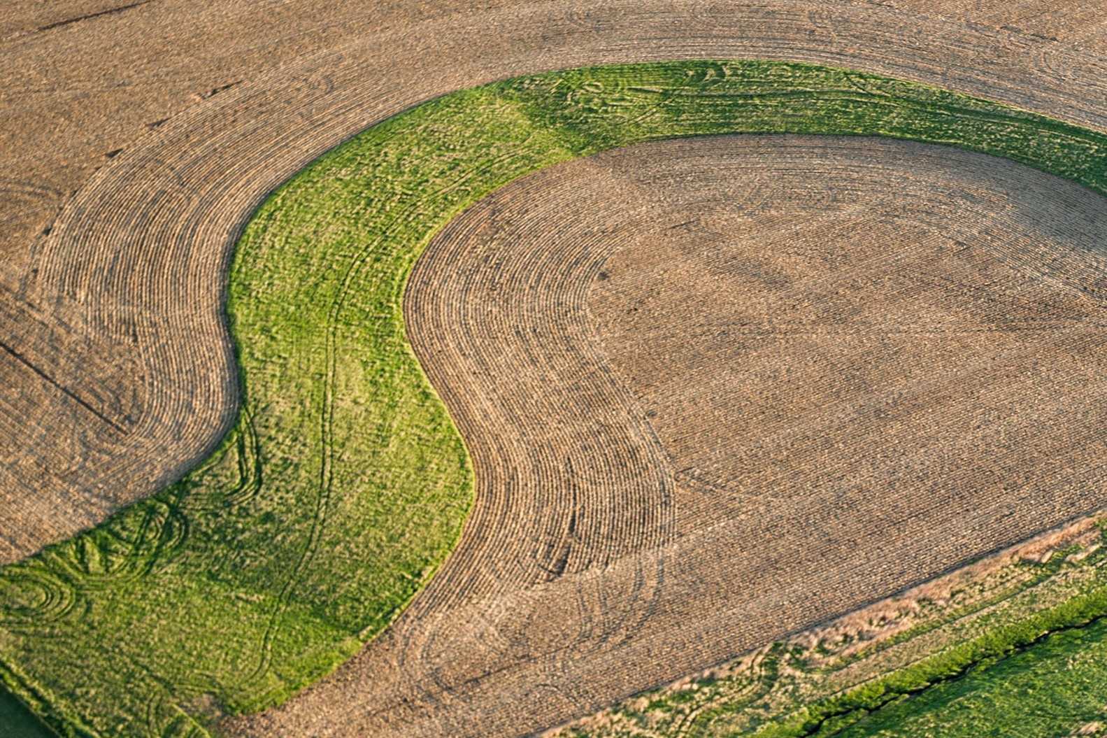
Agriculture: Farmers use contour lines to plan irrigation and prevent soil erosion.
-
Military operations: Contour maps assist in planning troop movements and positioning artillery.
Interesting Facts About Contours
Contours have some unique characteristics that make them fascinating to study.
-
Closed loops: Contour lines form closed loops around hills and depressions. A loop with hachures (short lines inside) indicates a depression.
-
V-shaped contours: When contour lines form a V shape, they point upstream in valleys and downstream on ridges.
-
Benchmarks: These are fixed points of known elevation marked on maps, helping to calibrate contour lines.
-
Digital elevation models (DEMs): These computer-generated models use contour data to create 3D representations of terrain.
-
Bathymetric contours: These lines represent underwater terrain, showing the depth of lakes, rivers, and oceans.
Historical Context of Contours
Contours have a rich history, evolving over centuries to become the precise tools we use today.
-
Ancient origins: The concept of contour lines dates back to ancient Greece, where they were used to represent landforms.
-
Modern development: The first modern contour map was created in the 18th century by Dutch engineer Pieter Bruinsz.
-
Surveying advancements: The invention of the theodolite and other surveying tools in the 19th century improved contour mapping accuracy.
-
Aerial photography: The use of aerial photos in the 20th century revolutionized contour mapping, providing more detailed data.
-
Satellite technology: Today, satellites provide precise elevation data, making contour maps more accurate than ever.
Fun Facts About Contours
Contours aren't just practical; they can also be fun and surprising.
-
Artistic use: Some artists use contour lines to create intricate, elevation-inspired artworks.
-
Contour puzzles: There are puzzles and games based on contour maps, challenging players to navigate terrain.
-
Virtual reality: VR technology uses contour data to create immersive, 3D landscapes for gaming and education.
-
Augmented reality: AR apps overlay contour lines on real-world views, helping users understand their surroundings.
-
Contour tattoos: Some people get tattoos of contour lines, often representing meaningful landscapes or personal journeys.
Contours in Nature
Nature itself provides examples of contour-like patterns and formations.
-
Tree rings: The rings in a tree trunk resemble contour lines, showing the tree's growth over time.
-
Sand dunes: Wind creates contour-like patterns in sand dunes, showing the shape and movement of the dunes.
-
Snowdrifts: Snowdrifts can form contour-like layers, indicating wind direction and snow accumulation.
-
Rock formations: Erosion creates contour-like patterns in rock formations, revealing the history of the landscape.
-
River meanders: The curves of a meandering river can resemble contour lines, showing the river's path over time.
-
Animal trails: Trails made by animals often follow natural contours, making it easier for them to navigate the terrain.
Final Thoughts on Contours
Contours shape our world in ways we often overlook. From geography to art, they define boundaries, create depth, and guide us through landscapes. Understanding contours can enhance our appreciation of maps, drawings, and even everyday objects. They’re not just lines on a page; they represent elevation, form, and structure. Whether you’re a student, artist, or just curious, knowing about contours adds a new layer to how you see the world. They’re everywhere, subtly influencing our perception and interaction with our surroundings. So next time you look at a map or a piece of art, take a moment to appreciate the contours—they’re telling a story.
Was this page helpful?
Our commitment to delivering trustworthy and engaging content is at the heart of what we do. Each fact on our site is contributed by real users like you, bringing a wealth of diverse insights and information. To ensure the highest standards of accuracy and reliability, our dedicated editors meticulously review each submission. This process guarantees that the facts we share are not only fascinating but also credible. Trust in our commitment to quality and authenticity as you explore and learn with us.