


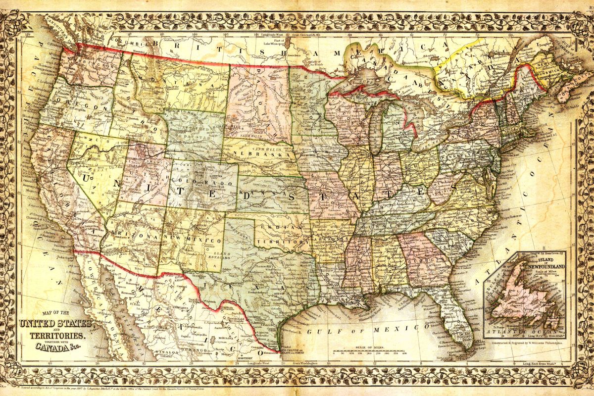
Ever wondered what makes the USA map so intriguing? From its vast landscapes to the unique shapes of its states, the map of the United States holds countless stories and surprises. Did you know that Alaska is the largest state, yet it’s separated from the rest of the country by Canada? Or that the smallest state, Rhode Island, could fit into Alaska over 400 times? The USA map isn't just about geography; it reflects history, culture, and even quirky trivia. Whether you're a geography buff or just curious, these 25 facts about the USA map will give you a fresh perspective on this diverse nation. Buckle up for a journey across the map that’s as educational as it is fun!
The USA Map: A Fascinating Landscape
The map of the United States is more than just a collection of lines and shapes. It tells stories of history, geography, and culture. Here are some intriguing facts about the USA map that might surprise you.
-
The USA is the third-largest country in the world by land area. Only Russia and Canada are larger.
-
The country spans six time zones. From Eastern to Hawaiian-Aleutian, the USA covers a vast range of time zones.
-
Alaska is the largest state by area. It’s so big that it could fit Texas inside it twice.
-
Rhode Island is the smallest state. Despite its tiny size, it has a rich history and vibrant culture.
-
The USA has 50 states. Each state has its own government and unique characteristics.
Unique Geographic Features
The USA is home to diverse landscapes, from mountains to deserts. These geographic features make the map even more interesting.
-
The Mississippi River is the second-longest river in North America. It flows through ten states, from Minnesota to Louisiana.
-
The Great Lakes are the largest group of freshwater lakes in the world by total area. They are located on the border between the USA and Canada.
-
Death Valley is the hottest place in North America. Temperatures can reach up to 134°F (56.7°C).
-
Mount Denali in Alaska is the highest peak in North America. It stands at 20,310 feet (6,190 meters).
-
The Grand Canyon is one of the most famous natural landmarks. It’s 277 miles long and up to 18 miles wide.
Historical Boundaries and Changes
The map of the USA has changed significantly over time. Historical events have shaped its current boundaries.
-
The original 13 colonies were located on the East Coast. These colonies declared independence from Britain in 1776.
-
The Louisiana Purchase in 1803 doubled the size of the USA. The land was bought from France for $15 million.
-
Texas was an independent country before joining the USA. It became the 28th state in 1845.
-
Alaska was purchased from Russia in 1867. The USA paid $7.2 million for it, which was considered a bargain.
-
Hawaii was the last state to join the USA. It became the 50th state in 1959.
State Borders and Oddities
Some state borders have unique stories and peculiarities. These quirks make the map even more intriguing.
-
Four Corners is the only point in the USA where four states meet. You can stand in Arizona, Colorado, New Mexico, and Utah at the same time.
-
Michigan is divided into two separate land masses. The Upper Peninsula and Lower Peninsula are connected by the Mackinac Bridge.
-
The Mason-Dixon Line was originally the boundary between Pennsylvania and Maryland. It later became symbolic as the dividing line between the North and the South.
-
West Virginia was created during the Civil War. It separated from Virginia in 1863 to join the Union.
-
The Kentucky Bend is an exclave of Kentucky. It’s surrounded by Missouri and Tennessee, created by the meandering Mississippi River.
Fun Facts and Trivia
Maps can reveal some fun and quirky facts about the USA. These tidbits add a bit of charm to the country's geography.
-
Liberty Island, home to the Statue of Liberty, is technically part of New Jersey. Despite being associated with New York City, it falls within New Jersey’s waters.
-
The geographic center of the contiguous USA is in Kansas. It’s near the town of Lebanon.
-
The longest state name is Rhode Island’s official name. It’s “State of Rhode Island and Providence Plantations.”
-
California has the highest population of any state. Over 39 million people call it home.
-
Wyoming has the lowest population of any state. It’s known for its wide-open spaces and natural beauty.
The Map's Hidden Stories
Maps aren't just about geography; they're packed with history, culture, and quirks. From the largest state of Alaska to the smallest Rhode Island, each state has its own unique tale. The USA map showcases the diversity and richness of the country, from the Great Lakes to the Rocky Mountains. It’s fascinating how borders were drawn, how names were chosen, and how landmarks became iconic. Whether you’re a history buff, a geography geek, or just curious, the map of the USA offers endless stories and facts to explore. Next time you look at a map, remember it’s more than just lines and names; it’s a snapshot of America’s journey. So, keep exploring, keep learning, and let the map guide you through the wonders of the USA.
Was this page helpful?
Our commitment to delivering trustworthy and engaging content is at the heart of what we do. Each fact on our site is contributed by real users like you, bringing a wealth of diverse insights and information. To ensure the highest standards of accuracy and reliability, our dedicated editors meticulously review each submission. This process guarantees that the facts we share are not only fascinating but also credible. Trust in our commitment to quality and authenticity as you explore and learn with us.