


What is an isobar? An isobar is a line on a weather map connecting points of equal atmospheric pressure. These lines help meteorologists predict weather patterns by showing areas of high and low pressure. High-pressure areas usually bring clear skies, while low-pressure areas can lead to storms and precipitation. Isobars are crucial for understanding how air moves around the Earth, influencing everything from daily weather to long-term climate trends. By studying isobars, scientists can make more accurate forecasts, helping people prepare for various weather conditions. Ready to learn more? Here are 37 fascinating facts about isobars that will deepen your understanding of weather maps and atmospheric pressure.
What is an Isobar?
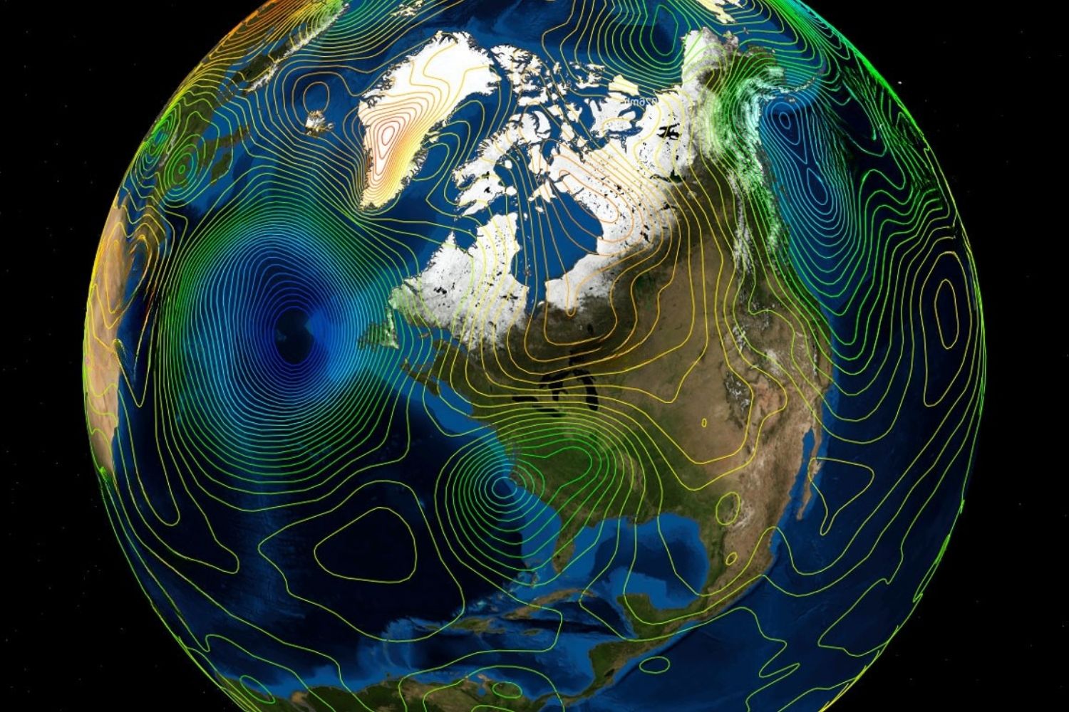
An isobar is a line on a weather map connecting points of equal atmospheric pressure. These lines help meteorologists predict weather patterns and understand the movement of air masses. Let's dive into some fascinating facts about isobars.
-
Isobars are crucial for weather forecasting. They help meteorologists identify high and low-pressure systems, which are key to predicting weather changes.
-
The term "isobar" comes from Greek. It combines "iso," meaning equal, and "baros," meaning weight or pressure.
-
Isobars are drawn at intervals of 4 millibars. This standard helps create a clear and consistent representation of atmospheric pressure on weather maps.
-
Closely spaced isobars indicate strong winds. When isobars are close together, it means a steep pressure gradient, leading to faster wind speeds.
-
Widely spaced isobars suggest calm weather. A gentle pressure gradient results in lighter winds and more stable weather conditions.
How Do Isobars Work?
Understanding how isobars function can help you grasp their importance in meteorology. Here are some key points about their operation:
-
Isobars connect points of equal pressure. This means that every point along an isobar has the same atmospheric pressure.
-
They help identify pressure systems. High-pressure systems are usually associated with clear skies, while low-pressure systems often bring clouds and precipitation.
-
Isobars can show the movement of air masses. By observing the patterns of isobars, meteorologists can track how air masses move and interact.
-
They are used in synoptic charts. These charts provide a snapshot of the weather over a large area, helping forecasters make predictions.
-
Isobars can indicate weather fronts. A front is a boundary between two air masses, and isobars can help identify these boundaries.
Historical Facts about Isobars
The history of isobars is as interesting as their function. Here are some historical tidbits:
-
The concept of isobars dates back to the 19th century. Early meteorologists used them to understand atmospheric pressure patterns.
-
Heinrich Wilhelm Brandes created the first weather map with isobars in 1816. This map marked a significant advancement in meteorology.
-
Isobars were initially hand-drawn. Before computers, meteorologists had to draw isobars manually, which was a time-consuming process.
-
The first daily weather maps with isobars were published in the 1870s. These maps helped improve weather forecasting accuracy.
-
Isobars played a crucial role in World War II. Accurate weather forecasting, aided by isobars, was vital for planning military operations.
Interesting Applications of Isobars
Isobars aren't just for weather maps. They have various applications in different fields:
-
Aviation relies on isobars. Pilots use weather maps with isobars to plan flight routes and avoid turbulent weather.
-
Isobars are used in marine navigation. Sailors use them to predict wind patterns and plan safe sea routes.
-
They help in climate studies. By analyzing historical isobar patterns, scientists can study climate change and its effects.
-
Isobars are used in environmental monitoring. They help track pollution dispersion and understand how atmospheric pressure affects air quality.
-
They aid in agricultural planning. Farmers use weather forecasts with isobars to plan planting and harvesting schedules.
Fun Facts about Isobars
Let's lighten things up with some fun and quirky facts about isobars:
-
Isobars can form interesting shapes. Depending on the pressure patterns, isobars can create loops, spirals, and other intriguing shapes on weather maps.
-
They can be colorful. Some weather maps use different colors for isobars to make them easier to read and understand.
-
Isobars can be animated. Modern weather forecasting tools can create animated maps showing how isobars change over time.
-
They can be found in weather apps. Many smartphone weather apps use isobars to provide detailed forecasts.
-
Isobars can be used in art. Some artists use isobar patterns to create unique and visually appealing pieces.
Advanced Facts about Isobars
For those who want to dive deeper, here are some advanced facts about isobars:
-
Isobars can indicate cyclones and anticyclones. Cyclones are low-pressure systems with converging winds, while anticyclones are high-pressure systems with diverging winds.
-
They can show pressure troughs and ridges. A trough is an elongated area of low pressure, while a ridge is an elongated area of high pressure.
-
Isobars can be used to calculate wind speed. By measuring the pressure gradient between isobars, meteorologists can estimate wind speeds.
-
They help in understanding jet streams. Jet streams are fast-flowing air currents in the upper atmosphere, and isobars can help identify their location and strength.
-
Isobars can be affected by topography. Mountains and valleys can influence the shape and spacing of isobars on a weather map.
Isobars in Popular Culture
Isobars have even made their way into popular culture. Here are some examples:
-
Isobars are featured in movies. Some films about weather and natural disasters include scenes with weather maps showing isobars.
-
They appear in TV weather reports. Many TV meteorologists use isobar maps to explain weather patterns to viewers.
-
Isobars are mentioned in books. Some novels and non-fiction books about weather and meteorology discuss isobars and their importance.
-
They are used in educational materials. Textbooks and online courses about weather and climate often include sections on isobars.
-
Isobars have inspired music. Some musicians have created songs and albums inspired by weather patterns, including isobars.
-
They are part of weather-themed games. Some video games and board games about weather and natural disasters feature isobar maps.
-
Isobars are a popular topic in trivia quizzes. Many trivia games and quizzes about weather and science include questions about isobars.
Final Thoughts on Isobars
Isobars are pretty fascinating, right? They’re lines on weather maps that connect points of equal atmospheric pressure. These lines help meteorologists predict weather patterns, like storms and high-pressure systems. Knowing how to read isobars can give you a heads-up on what kind of weather to expect.
Understanding isobars isn’t just for weather geeks. It’s useful for anyone planning outdoor activities or even just deciding what to wear. Next time you see a weather map, take a closer look at those lines. They’re telling you a lot more than you might think.
So, next time you’re planning a picnic or a hike, check out the isobars. They might just save your day from getting rained out. Keep an eye on those lines, and you’ll be a step ahead of the weather.
Was this page helpful?
Our commitment to delivering trustworthy and engaging content is at the heart of what we do. Each fact on our site is contributed by real users like you, bringing a wealth of diverse insights and information. To ensure the highest standards of accuracy and reliability, our dedicated editors meticulously review each submission. This process guarantees that the facts we share are not only fascinating but also credible. Trust in our commitment to quality and authenticity as you explore and learn with us.