


What are landforms? Landforms are natural features on Earth's surface, shaped by various geological processes over time. They include mountains, valleys, plateaus, and plains. These features not only define the landscape but also influence climate, vegetation, and human activities. Why are landforms important? They play a crucial role in ecosystems, providing habitats for diverse species. They also affect weather patterns and water flow, impacting agriculture and settlements. Understanding landforms helps us appreciate Earth's dynamic nature and the forces that shape it. Ready to learn some cool facts about landforms? Let's dive in!
27 Facts about Landforms
Landforms shape our planet, creating the diverse landscapes we see. From towering mountains to expansive plains, each landform has unique characteristics and fascinating details. Let's explore some intriguing facts about these natural features.
Mountains
Mountains are majestic and awe-inspiring. They rise high above the surrounding terrain, offering breathtaking views and challenging climbs.
- Mount Everest is the tallest mountain on Earth, standing at 29,029 feet (8,848 meters) above sea level.
- The Andes is the longest mountain range, stretching over 4,300 miles (7,000 kilometers) along the western coast of South America.
- Mount Kilimanjaro in Tanzania is the highest free-standing mountain, meaning it is not part of a mountain range.
- The Himalayas are still growing. They rise about 5 millimeters each year due to tectonic plate movements.
- Mauna Kea in Hawaii is the tallest mountain when measured from its base on the ocean floor, reaching over 33,000 feet (10,000 meters).
Deserts
Deserts are arid regions with extreme temperatures and minimal rainfall. They cover about one-third of Earth's land surface.
- The Sahara Desert is the largest hot desert, spanning 3.6 million square miles (9.4 million square kilometers) in North Africa.
- Antarctica is the largest cold desert, covering about 5.5 million square miles (14.2 million square kilometers).
- The Atacama Desert in Chile is the driest place on Earth, with some areas receiving less than 1 millimeter of rain per year.
- Desert dunes can reach heights of over 500 feet (150 meters), like those in the Namib Desert.
- Desertification is the process by which fertile land becomes desert, often due to drought, deforestation, or inappropriate agriculture.
Plains
Plains are flat or gently rolling areas of land. They are often fertile and ideal for agriculture.
- The Great Plains in North America stretch from Canada to Texas, covering about 1.3 million square miles (3.4 million square kilometers).
- The Pampas in Argentina are known for their rich soil and are a major agricultural region.
- The Eurasian Steppe is the largest temperate grassland, extending from Hungary to China.
- Floodplains are flat areas near rivers that are prone to flooding, which can deposit nutrient-rich soil.
- Coastal plains are found along coastlines and are often formed by the deposition of sediments from rivers.
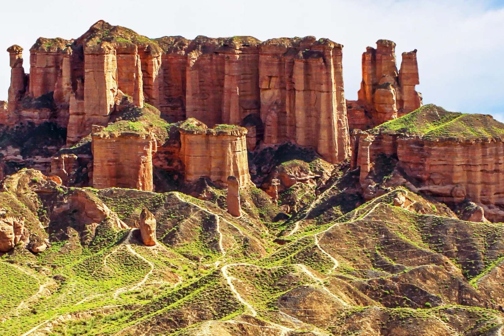
Plateaus
Plateaus are elevated flat areas that have been uplifted by geological forces. They can be found on every continent.
- The Tibetan Plateau is the highest and largest plateau, often called "the Roof of the World."
- The Colorado Plateau in the United States is known for its stunning rock formations and national parks.
- The Deccan Plateau in India covers most of the southern part of the country.
- Volcanic plateaus are formed by lava flows, like the Columbia Plateau in the northwestern United States.
- Erosion can create plateaus by wearing away surrounding land, leaving a flat-topped area.
Valleys
Valleys are low areas between hills or mountains, often with a river running through them. They are shaped by erosion and other geological processes.
- The Grand Canyon in Arizona is a massive valley carved by the Colorado River over millions of years.
- The Great Rift Valley in Africa is a major geological feature stretching from Lebanon to Mozambique.
- Glacial valleys are formed by glaciers and often have a U-shaped cross-section, like Yosemite Valley in California.
- River valleys are typically V-shaped and are formed by the erosive action of rivers.
- Hanging valleys are formed when a smaller valley joins a larger one at a higher elevation, often creating waterfalls.
Islands
Islands are landforms completely surrounded by water. They can be found in oceans, seas, lakes, and rivers.
- Greenland is the largest island in the world, covering over 836,000 square miles (2.17 million square kilometers).
- The Hawaiian Islands are volcanic islands formed by hotspots in the Earth's mantle.
The Final Word on Landforms
Landforms shape our world in fascinating ways. From towering mountains to sprawling plains, each one tells a unique story. They influence climate, ecosystems, and even human activities. Understanding landforms helps us appreciate the planet's dynamic nature. Whether it's the Grand Canyon's deep gorges or the Sahara's vast deserts, these features are more than just scenery. They're records of Earth's history, showing how natural forces sculpt the landscape over time. Next time you see a hill or valley, think about the processes that created it. Landforms are not just about geography; they're about the incredible power of nature. So, keep exploring and learning about these amazing features. They remind us of the planet's beauty and complexity.
Was this page helpful?
Our commitment to delivering trustworthy and engaging content is at the heart of what we do. Each fact on our site is contributed by real users like you, bringing a wealth of diverse insights and information. To ensure the highest standards of accuracy and reliability, our dedicated editors meticulously review each submission. This process guarantees that the facts we share are not only fascinating but also credible. Trust in our commitment to quality and authenticity as you explore and learn with us.