
What is an altimeter? An altimeter is a device that measures altitude, the height above a specific reference point, usually sea level. Pilots, skydivers, and mountaineers rely on these instruments to determine their elevation. Altimeters come in various types, including barometric, radar, and GPS-based models. Barometric altimeters use air pressure to estimate altitude, while radar altimeters measure the time it takes for a radio wave to bounce back from the ground. GPS altimeters use satellite signals to calculate height. Understanding how these devices work can be crucial for safety and navigation in activities involving significant altitude changes.
What is an Altimeter?
An altimeter measures altitude, the height above a specific reference point, usually sea level. Used in various fields like aviation, mountaineering, and even skydiving, altimeters are essential for safety and navigation.
- The word "altimeter" comes from the Latin word "altus," meaning high.
- Altimeters can be found in aircraft, spacecraft, and even some smartwatches.
- There are three main types of altimeters: barometric, radar, and GPS-based.
How Does a Barometric Altimeter Work?
Barometric altimeters measure altitude by comparing atmospheric pressure at a given height to a standard atmospheric pressure.
- Barometric altimeters use an aneroid barometer to measure pressure changes.
- As altitude increases, atmospheric pressure decreases.
- Pilots often calibrate barometric altimeters to local sea-level pressure to ensure accuracy.
Radar Altimeters: Precision at Low Altitudes
Radar altimeters are crucial for low-altitude measurements, especially in aviation and space missions.
- Radar altimeters send radio waves to the ground and measure the time it takes for them to return.
- They provide highly accurate readings, often within a few centimeters.
- Used in spacecraft landing systems to ensure safe touchdowns.
GPS Altimeters: Modern and Versatile
GPS altimeters use satellite signals to determine altitude, offering a modern alternative to traditional methods.
- GPS altimeters can provide altitude readings anywhere on Earth.
- They are less affected by weather conditions compared to barometric altimeters.
- Often integrated into smartphones and fitness trackers for outdoor activities.
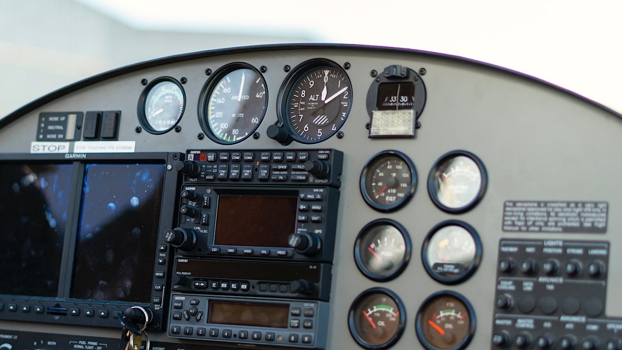
Altimeters in Aviation
Altimeters are vital for aviation, ensuring safe flight operations and navigation.
- Aircraft typically have both barometric and radar altimeters for redundancy.
- Pilots use altimeters to maintain safe cruising altitudes and avoid obstacles.
- Altimeter settings are crucial during takeoff and landing phases.
Altimeters in Mountaineering and Hiking
Mountaineers and hikers rely on altimeters to track their ascent and ensure they stay on course.
- Handheld altimeters are popular among outdoor enthusiasts.
- They help climbers monitor altitude gain and acclimatize to high altitudes.
- Some altimeters can log altitude changes over time, useful for tracking progress.
Altimeters in Skydiving
Skydivers use altimeters to know when to deploy their parachutes, ensuring a safe descent.
- Visual altimeters are worn on the wrist or chest for easy reading.
- Audible altimeters provide sound alerts at preset altitudes.
- Some advanced models offer both visual and audible cues.
Altimeters in Space Exploration
Space missions use altimeters for various critical tasks, from landing to navigation.
- Lunar landers used radar altimeters to ensure safe landings on the moon.
- Mars rovers are equipped with altimeters to navigate the Martian terrain.
- Altimeters help spacecraft maintain proper orbit around planets.
Altimeters in Sports and Fitness
Modern fitness devices often include altimeters to track elevation changes during workouts.
- Runners and cyclists use altimeters to measure elevation gain and improve performance.
- Skiers rely on altimeters to track vertical descent on slopes.
- Some smartwatches use GPS altimeters to provide accurate altitude data.
Historical Milestones in Altimeter Development
The development of altimeters has a rich history, marked by significant milestones.
- The first barometric altimeter was invented in the early 20th century.
- Radar altimeters were developed during World War II for military aviation.
- GPS altimeters became widely available in the late 20th century.
Fun Facts About Altimeters
Altimeters have some interesting and lesser-known aspects worth mentioning.
- Some altimeters can measure altitude changes as small as one meter.
- The highest recorded altitude using an altimeter is over 85,000 feet, achieved by a weather balloon.
- Altimeters are also used in underwater diving to measure depth, known as depth gauges.
Final Thoughts on Altimeters
Altimeters are more than just gadgets; they're essential tools for pilots, skydivers, and hikers. These devices measure altitude by calculating air pressure, helping users navigate and stay safe. Whether you're flying a plane or climbing a mountain, knowing your altitude can make all the difference.
Modern altimeters come in various forms, from traditional barometric ones to advanced GPS models. Each type has its own strengths, catering to different needs and preferences. Understanding how they work and their applications can enhance your adventures and ensure safety.
So next time you're up in the air or high on a peak, remember the humble altimeter. It's a small device with a big impact, guiding you through the skies and over the mountains. Keep exploring, stay safe, and let your altimeter be your trusty companion.
Was this page helpful?
Our commitment to delivering trustworthy and engaging content is at the heart of what we do. Each fact on our site is contributed by real users like you, bringing a wealth of diverse insights and information. To ensure the highest standards of accuracy and reliability, our dedicated editors meticulously review each submission. This process guarantees that the facts we share are not only fascinating but also credible. Trust in our commitment to quality and authenticity as you explore and learn with us.