


Volunteered geographic information (VGI) is a term that might sound complex, but it's actually quite simple. VGI refers to data collected by everyday people, like you and me, who share their geographic knowledge online. Think about the last time you added a location to a map or shared a photo with a geotag. That’s VGI in action! This type of information is incredibly valuable for creating detailed maps, tracking environmental changes, and even aiding in disaster response. VGI empowers communities to contribute to a shared understanding of our world. Ready to learn more? Here are 38 fascinating facts about volunteered geographic information that will blow your mind!
What is Volunteered Geographic Information (VGI)?
Volunteered Geographic Information (VGI) refers to the collection, creation, and dissemination of geographic data by individuals, often through the use of digital tools and platforms. This phenomenon has grown significantly with the rise of the internet and mobile technology.
- VGI is often crowdsourced, meaning it relies on contributions from a large number of people.
- It can include data about locations, landmarks, routes, and even environmental conditions.
- VGI is used in various fields, including urban planning, disaster response, and environmental monitoring.
- OpenStreetMap is one of the most well-known platforms for VGI, where users can edit and update maps.
- The term VGI was first coined by geographer Michael Goodchild in 2007.
How VGI is Collected
The collection of VGI involves various methods and tools, making it accessible to anyone with an internet connection or a smartphone.
- Smartphones equipped with GPS are a primary tool for collecting VGI.
- Social media platforms like Twitter and Facebook can also be sources of VGI when users share location-based information.
- Drones are increasingly used to gather geographic data from hard-to-reach areas.
- Citizen science projects often rely on VGI to collect data on environmental changes.
- Geotagged photos uploaded to platforms like Flickr and Instagram contribute to VGI databases.
Applications of VGI
VGI has a wide range of applications that benefit both individuals and organizations. Its versatility makes it a valuable resource in many sectors.
- In disaster response, VGI helps map affected areas quickly, aiding rescue and relief efforts.
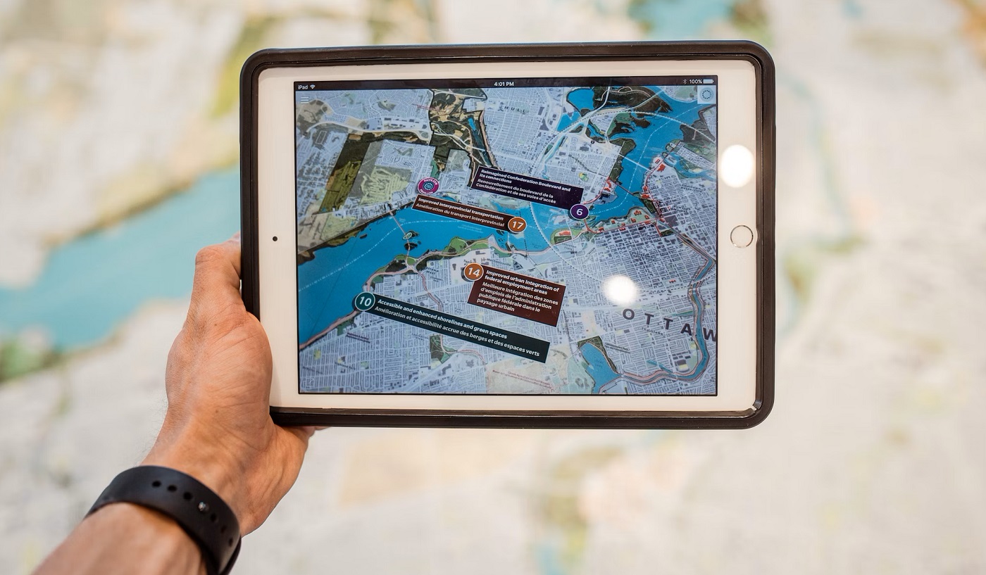
- Urban planners use VGI to understand traffic patterns and improve public transportation systems.
- Environmental scientists utilize VGI to monitor changes in ecosystems and track wildlife.
- VGI supports humanitarian efforts by providing accurate maps of remote or underdeveloped regions.
- It also plays a role in tourism, helping travelers find points of interest and navigate new places.
Benefits of VGI
The advantages of VGI are numerous, making it an appealing option for data collection and analysis.
- VGI is cost-effective since it relies on volunteer contributions rather than paid data collection.
- It provides real-time data, which is crucial for time-sensitive applications like disaster response.
- The diversity of contributors ensures a wide range of perspectives and information.
- VGI can fill gaps in official geographic data, especially in underserved or remote areas.
- It fosters community engagement and empowers individuals to contribute to important projects.
Challenges and Limitations of VGI
Despite its benefits, VGI is not without its challenges. Understanding these limitations is essential for effectively using VGI data.
- Data quality can vary since contributors may have different levels of expertise.
- There is a risk of data vandalism, where individuals intentionally provide false information.
- Privacy concerns arise when personal location data is shared without consent.
- The digital divide means not everyone has equal access to the tools needed to contribute to VGI.
- Integrating VGI with official data sources can be complex and time-consuming.
Future of VGI
The future of VGI looks promising, with advancements in technology and increased awareness of its potential.
- Artificial intelligence and machine learning can help improve the accuracy and reliability of VGI.
- Blockchain technology may offer solutions for verifying and securing VGI data.
- Increased collaboration between governments, organizations, and volunteers can enhance the quality and utility of VGI.
- Virtual reality and augmented reality could provide new ways to visualize and interact with VGI data.
- As more people become aware of VGI, the volume and diversity of data are likely to grow.
Interesting Facts About VGI
Here are some intriguing tidbits about VGI that highlight its impact and potential.
- During the 2010 Haiti earthquake, VGI played a crucial role in mapping affected areas and coordinating relief efforts.
- The Humanitarian OpenStreetMap Team (HOT) is a notable organization that leverages VGI for disaster response and recovery.
- VGI has been used to track the spread of diseases, such as during the Ebola outbreak in West Africa.
- Some VGI projects focus on preserving cultural heritage by mapping historical sites and landmarks.
- The use of VGI in gaming, like Pokémon GO, has popularized the concept among a broader audience.
- VGI can help identify and address social issues, such as mapping areas with limited access to healthcare or education.
- In agriculture, VGI assists farmers in monitoring crop conditions and optimizing resource use.
- The concept of VGI aligns with the principles of citizen science, where public participation enhances scientific research.
The Power of Volunteered Geographic Information
Volunteered geographic information (VGI) has transformed how we understand and interact with our world. From mapping remote areas to aiding disaster relief, VGI empowers individuals to contribute valuable data. This collective effort enhances accuracy, fills gaps in official data, and democratizes information access.
VGI's impact extends beyond maps. It fosters community engagement, promotes environmental awareness, and supports scientific research. By participating, you become part of a global movement that values shared knowledge and collaboration.
As technology advances, the potential for VGI grows. More user-friendly tools and platforms will make it easier for anyone to contribute. Whether you're a seasoned mapper or a curious beginner, your input matters.
Embrace the power of VGI. Your contributions can make a difference, shaping a more informed and connected world. Dive in, share your knowledge, and help build a better future.
Was this page helpful?
Our commitment to delivering trustworthy and engaging content is at the heart of what we do. Each fact on our site is contributed by real users like you, bringing a wealth of diverse insights and information. To ensure the highest standards of accuracy and reliability, our dedicated editors meticulously review each submission. This process guarantees that the facts we share are not only fascinating but also credible. Trust in our commitment to quality and authenticity as you explore and learn with us.