


Indigenous mapping has a rich history that stretches back thousands of years, long before modern cartography. These maps, often created using natural materials, served as vital tools for navigation, storytelling, and preserving cultural heritage. Indigenous peoples used their deep understanding of the land, stars, and waterways to create maps that were not just practical but also deeply spiritual. Unlike conventional maps, which focus on political boundaries and physical features, Indigenous maps often highlight sacred sites, seasonal migration routes, and resource locations. These maps are a testament to the ingenuity and resilience of Indigenous cultures, offering a unique perspective on geography and human connection to the land. Understanding Indigenous mapping can provide valuable insights into sustainable living and respect for nature.
Indigenous Mapping: A Rich Tapestry of Knowledge
Indigenous mapping is a fascinating blend of culture, history, and geography. These maps are more than just tools for navigation; they are repositories of ancestral knowledge and traditions. Let's explore some intriguing facts about indigenous mapping.
-
Indigenous maps often incorporate spiritual and cultural elements, making them unique compared to Western maps.
-
Many indigenous maps are drawn from memory, showcasing the deep connection between the people and their land.
-
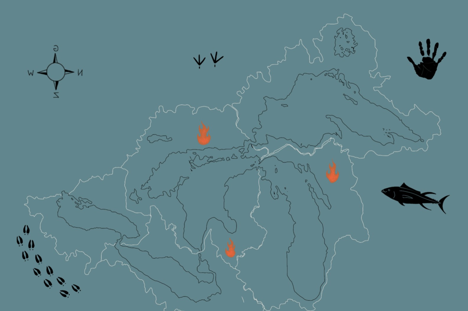
These maps frequently include landmarks significant to the community, such as sacred sites, hunting grounds, and water sources.
Historical Significance of Indigenous Mapping
Indigenous mapping has played a crucial role in preserving history and guiding communities through generations. Here are some historical insights.
-
Indigenous maps have been used for thousands of years, long before European explorers arrived.
-
They often depict migration routes, helping communities remember their ancestral journeys.
-
Some indigenous maps have been found on rock carvings and cave paintings, dating back centuries.
Techniques and Materials Used in Indigenous Mapping
The methods and materials used in indigenous mapping are as diverse as the cultures that create them. These techniques reflect a deep understanding of the environment.
-
Indigenous people often use natural materials like bark, animal hides, and even sand to create maps.
-
Some maps are etched into the ground or drawn with sticks and stones.
-
The use of storytelling is common, with elders passing down map knowledge orally.
Indigenous Mapping and Modern Technology
Modern technology has started to intersect with traditional indigenous mapping, creating new opportunities and challenges.
-
Digital mapping tools are now being used to preserve and share indigenous maps.
-
Some communities use GPS technology to document traditional land use and protect their territories.
-
Online platforms allow indigenous maps to reach a global audience, raising awareness about indigenous cultures and issues.
The Role of Indigenous Mapping in Environmental Conservation
Indigenous mapping plays a significant role in environmental conservation efforts, highlighting the sustainable practices of indigenous communities.
-
These maps often detail traditional ecological knowledge, such as plant and animal behaviors.
-
Indigenous maps can help identify areas of environmental importance, aiding in conservation efforts.
-
They provide insights into sustainable land management practices that have been used for generations.
Challenges Faced by Indigenous Mapping
Despite their importance, indigenous maps face several challenges, from recognition to preservation.
-
Many indigenous maps are not recognized by governments or legal systems.
-
The oral nature of some mapping traditions makes them vulnerable to loss as elders pass away.
-
There is often a lack of resources to properly document and preserve these maps.
Indigenous Mapping and Cultural Identity
Indigenous maps are deeply tied to cultural identity, reflecting the unique perspectives and values of each community.
-
These maps often include stories and legends that are integral to the community's identity.
-
They can serve as a tool for teaching younger generations about their heritage and traditions.
-
Indigenous mapping helps maintain a sense of place and belonging within the community.
Indigenous Mapping in Education
Educational initiatives are increasingly incorporating indigenous mapping to provide a more holistic understanding of geography and culture.
-
Schools and universities are starting to include indigenous mapping in their curricula.
-
Workshops and community programs teach both indigenous and non-indigenous people about traditional mapping techniques.
-
Indigenous maps are used in educational materials to provide a more inclusive perspective on history and geography.
Indigenous Mapping and Legal Rights
Indigenous maps are also crucial in legal contexts, particularly in land rights and territorial disputes.
-
These maps can serve as evidence in legal cases to support indigenous land claims.
-
They help document traditional land use, which is essential for legal recognition.
-
Indigenous mapping can play a role in negotiations with governments and corporations over land use and resource extraction.
The Future of Indigenous Mapping
The future of indigenous mapping looks promising, with growing recognition and support for these invaluable cultural artifacts.
-
There is increasing collaboration between indigenous communities and researchers to document and preserve maps.
-
Funding and grants are becoming more available for indigenous mapping projects.
-
The integration of traditional and modern mapping techniques is creating new opportunities for innovation.
Indigenous Mapping and Global Awareness
Raising global awareness about indigenous mapping can lead to greater appreciation and support for indigenous cultures.
-
International organizations are starting to recognize the importance of indigenous mapping in cultural preservation.
-
Indigenous maps are being featured in museums and exhibitions around the world.
-
Social media and online platforms are helping to spread knowledge about indigenous mapping to a wider audience.
The Power of Indigenous Mapping
Indigenous mapping isn't just about charts and coordinates. It's a cultural treasure that offers a unique perspective on the world. These maps tell stories, preserve traditions, and highlight the deep connection between Indigenous peoples and their lands. They challenge conventional mapping by incorporating spiritual landmarks, oral histories, and ecological knowledge.
Understanding these maps can lead to greater appreciation and respect for Indigenous cultures. They remind us that there's more than one way to see the world. By integrating Indigenous mapping into modern practices, we can foster collaboration and mutual respect.
Next time you look at a map, think about the stories it might not be telling. Indigenous mapping fills those gaps, offering a richer, more inclusive view of our planet. Let's celebrate and learn from these invaluable resources.
Was this page helpful?
Our commitment to delivering trustworthy and engaging content is at the heart of what we do. Each fact on our site is contributed by real users like you, bringing a wealth of diverse insights and information. To ensure the highest standards of accuracy and reliability, our dedicated editors meticulously review each submission. This process guarantees that the facts we share are not only fascinating but also credible. Trust in our commitment to quality and authenticity as you explore and learn with us.