Turn Your Curiosity Into Discovery
Airlines
Facts
Celebrity
Facts
Characters
Facts
Pokemon
Facts
Culture & The Arts
Facts
Games and Toys
Facts
Mass Media
Facts
Performing Arts
Facts
Visual Arts
Facts
Earth & Life Science
Facts
Biology
Facts
Earth Sciences
Facts
Nature
Facts
Physical Sciences
Facts
Events
Facts
Fitness & Wellbeing
Facts
Dentistry
Facts
Exercise
Facts
Health Science
Facts
Hygiene
Facts
Medicine
Facts
Nutrition
Facts
Psychology
Facts
Public Health
Facts
General
History
Facts
Culture
Facts
Historical Events
Facts
People
Facts
Religion
Facts
Human Activities
Facts
Human Activities
Facts
Impact of Human Activity
Facts
Lifestyle
Facts
Entertainment
Facts
Food
Facts
Health
Facts
Sports
Facts
Mathematics & Logic
Facts
Fields of Mathematics
Facts
Mathematical Sciences
Facts
Mathematics
Facts
Movie
Facts
Nature
Facts
Animals
Facts
Human Body
Facts
Plants
Facts
Universe
Facts
Philosophy & Thinking
Facts
Philosophy
Facts
Thinking Skills
Facts
Reviews
Facts
Science
Facts
Biology
Facts
Chemistry
Facts
Geography
Facts
Physics
Facts
Technology
Facts
Society & Social Sciences
Facts
Social Sciences
Facts
Society
Facts
Tech & Sciences
Facts
Agriculture
Facts
Computing
Facts
Electronics
Facts
Engineering
Facts
Transport
Facts
World
Facts
Cities
Facts
Countries
Facts
Landmarks
Facts
US States
Facts
All Categories
Everything Else
Facts
Forum
Gallery
Quotes
Latest Facts
Sports
31 Jan 2026
30 Facts About LSU Basketball
Sports
31 Jan 2026
25 Facts About KC Boutiette
Home
Nature
Facts
Universe
Facts
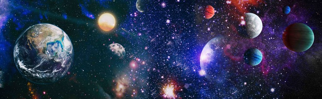
Universe Facts
Universe
24 Jan 2026
25 Facts About The Wolf Moon
Universe
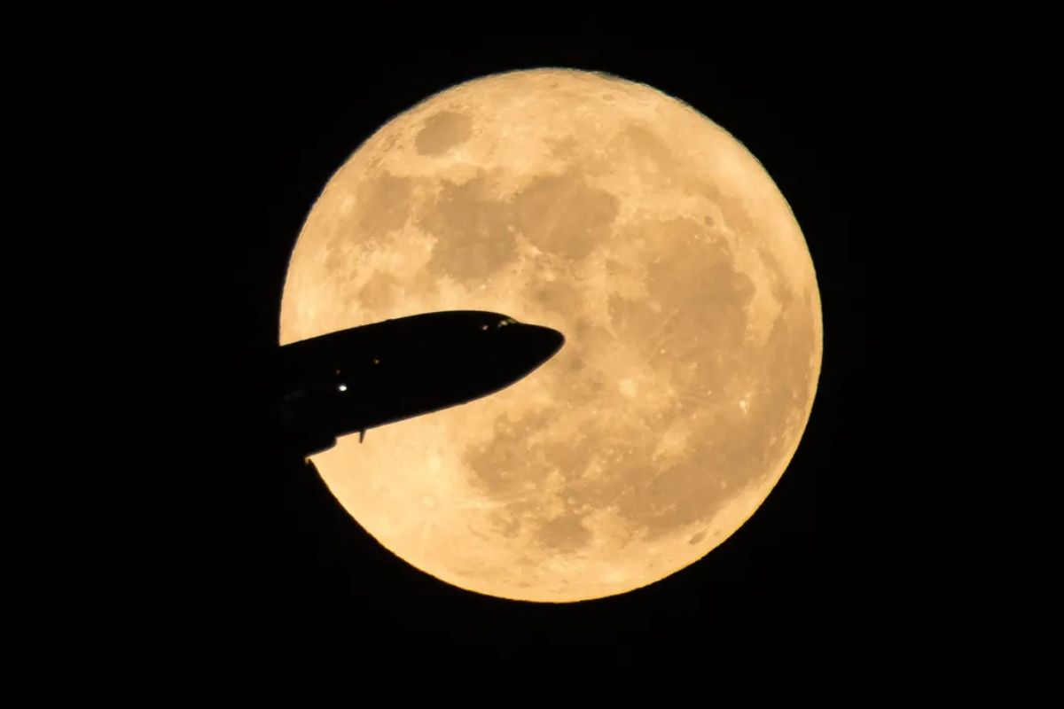
19 Jan 2026
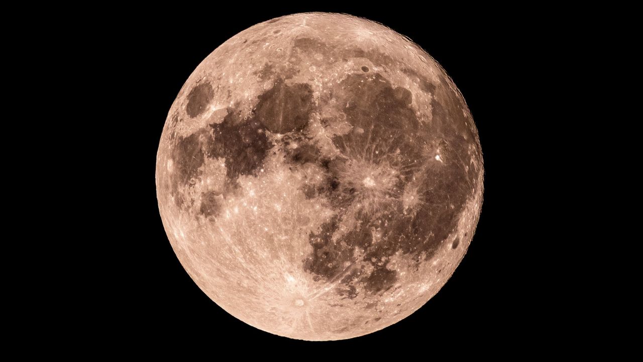
30 Facts About The Blue Moon
Universe
10 Jan 2026
25 Facts About Eclipse Octopus
Universe
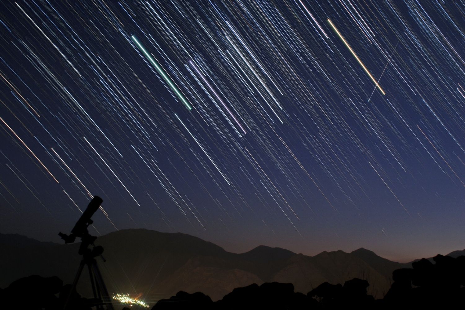
09 Jan 2026
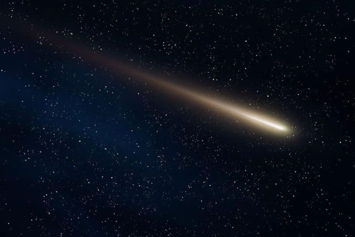
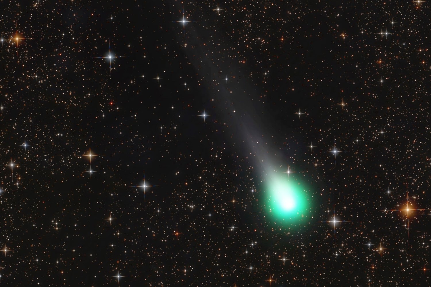
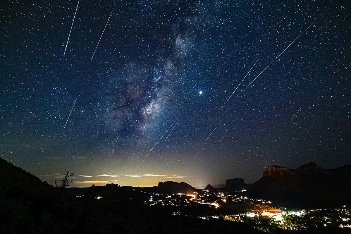
25 Facts About Comet Showers
Universe
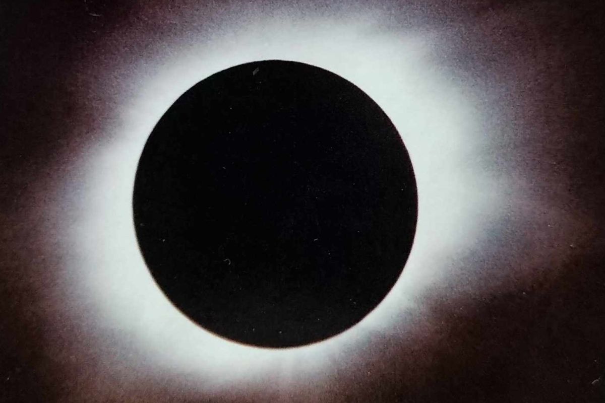
05 Jan 2026
25 Facts About The Longest Solar Eclipse
Universe
24 Dec 2025
25 Facts About The Cold Moon Supermoon
Universe
16 Dec 2025
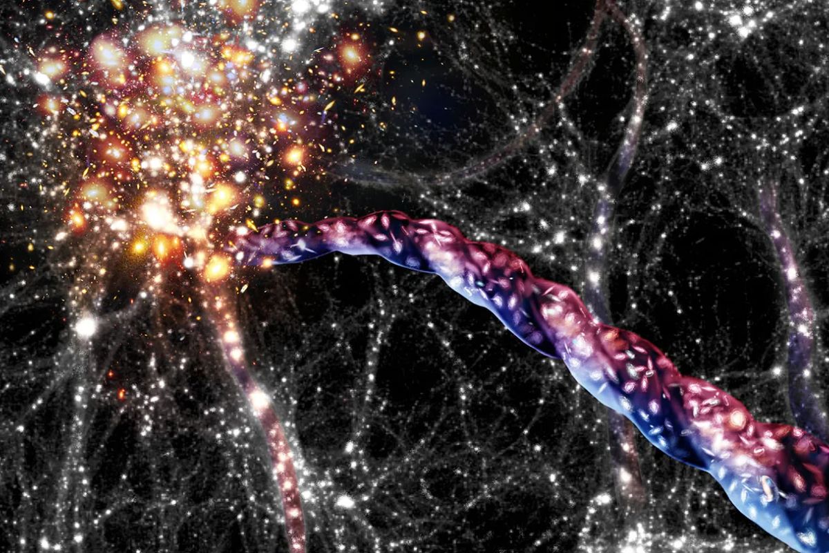
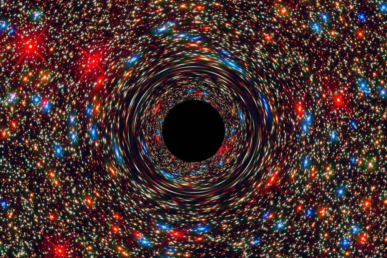
25 Facts About Spinning Cosmic Filament Structure
Universe
09 Dec 2025
25 Facts About The Cold Moon Full Moon
Universe
01 Dec 2025
25 Facts About The 3I Atlas Interstellar Object
Universe
30 Nov 2025
25 Facts About Comet 3IATLAS Radio Signal
Universe
23 Nov 2025
25 Facts About Pleine Lune Novembre 2025 Full Moon November 2025
Universe
23 Nov 2025
25 Facts About The Full Moon In November 2025
Universe
31 Oct 2025
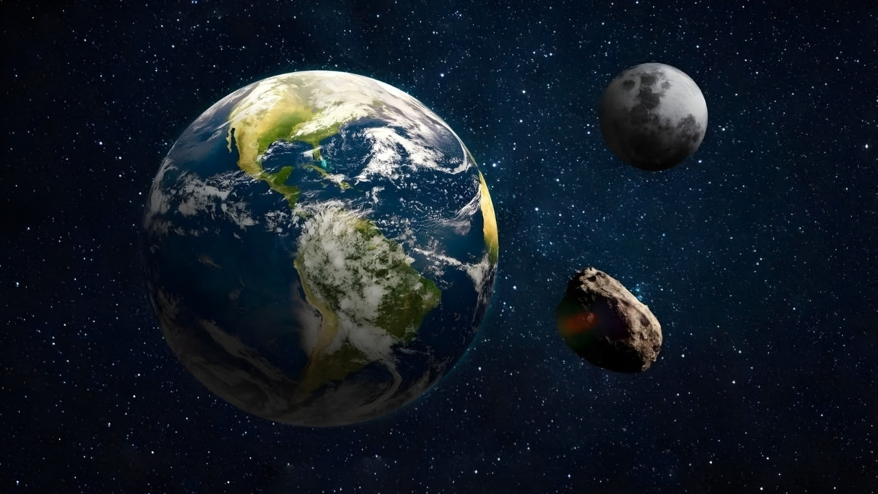
27 Facts About Two Moons
Universe
29 Oct 2025
30 Facts About Draconid Meteor Showers
Universe
28 Oct 2025
30 Facts About The Comet Lemmon And Comet Swan Meteor Shower
Universe
24 Oct 2025
25 Facts About The Milky Way Galaxy Gamma Ray Glow
Universe
06 Oct 2025
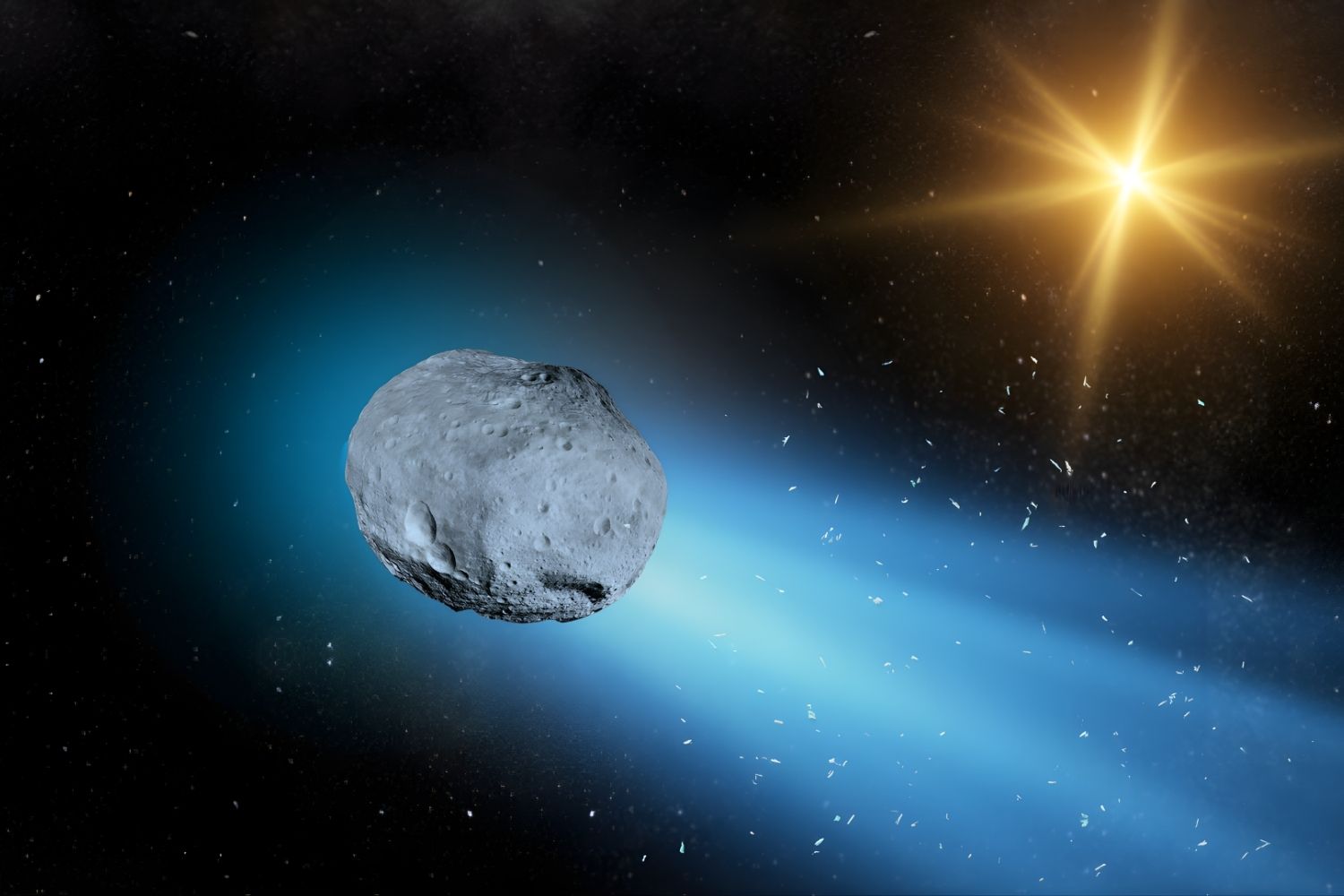
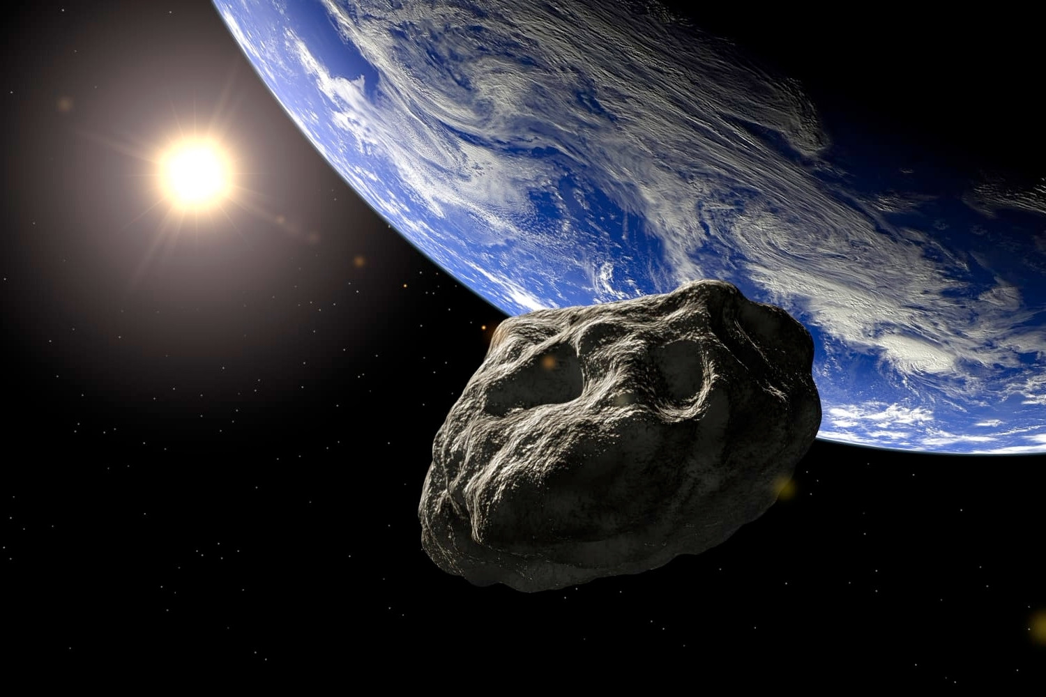
50 Facts About NASA Asteroids
Universe
27 Sep 2025
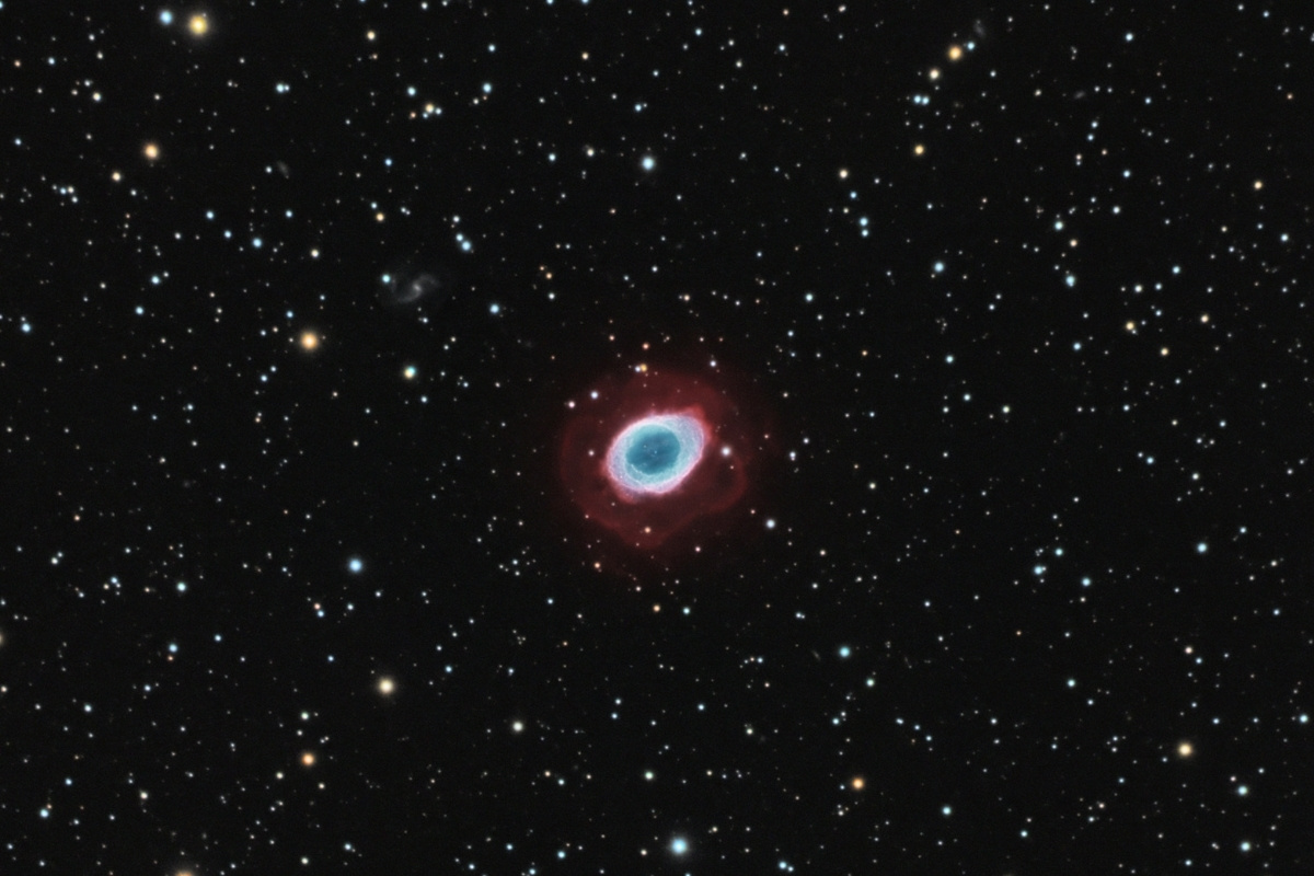
20 Facts About M57
Universe
23 Sep 2025
30 Facts About Solar Energy
Universe
23 Jul 2025
40 Facts About The Perseids Meteor Shower
Universe
21 Jul 2025
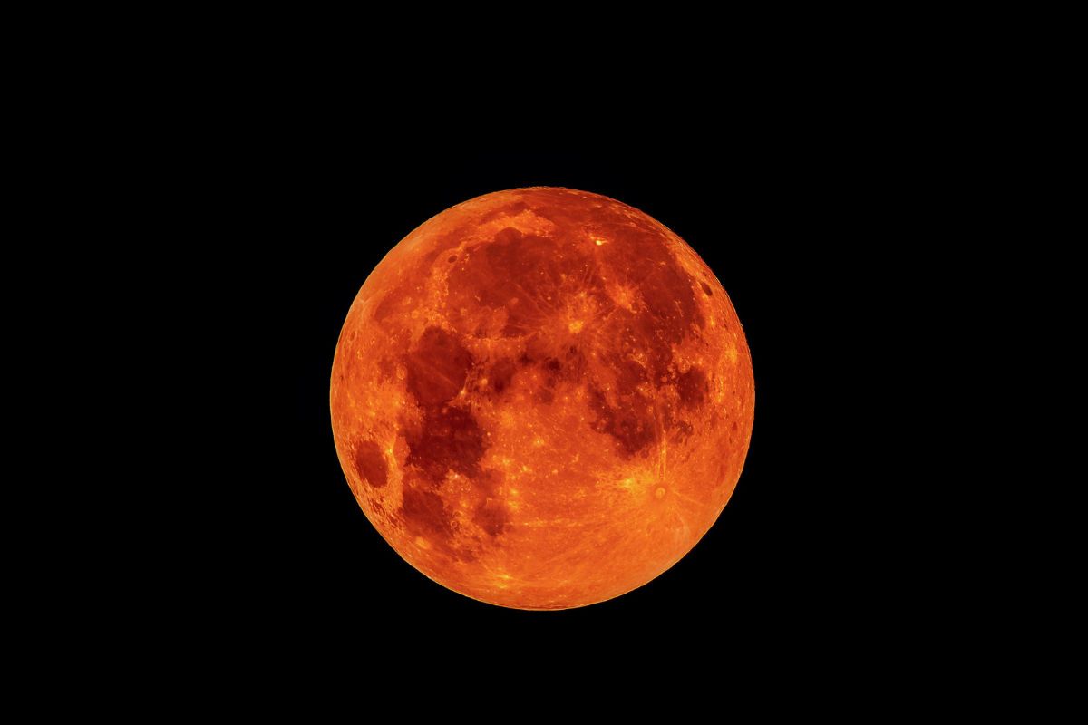
20 Facts About Blood Moon
Universe
17 Jul 2025
30 Facts About The Buck Moon
Universe
15 Jul 2025
25 Facts About The Full Moon In July 2025
Universe
20 Jun 2025
25 Fascinating Facts About Astronauts
Universe
04 May 2025
34 Facts About Compact Symmetric Objects
Universe
04 May 2025
33 Facts About Compact Steepspectrum Sources
Universe
04 May 2025
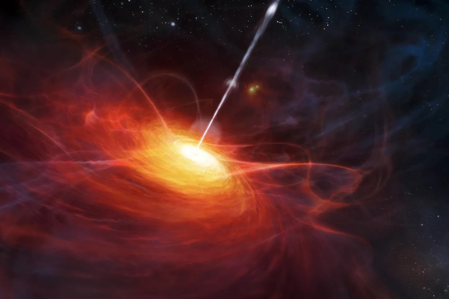
33 Facts About Quasar Duty Cycle
Universe
03 May 2025
37 Facts About Quasar Luminosity Function
Universe
03 May 2025
36 Facts About Steepspectrum Radio Sources
Universe
03 May 2025
29 Facts About BL Lac Objects
Universe
03 May 2025
39 Facts About Highfrequency Peakers
Universe
03 May 2025
26 Facts About Gigahertzpeaked Spectrum Sources
Universe
03 May 2025
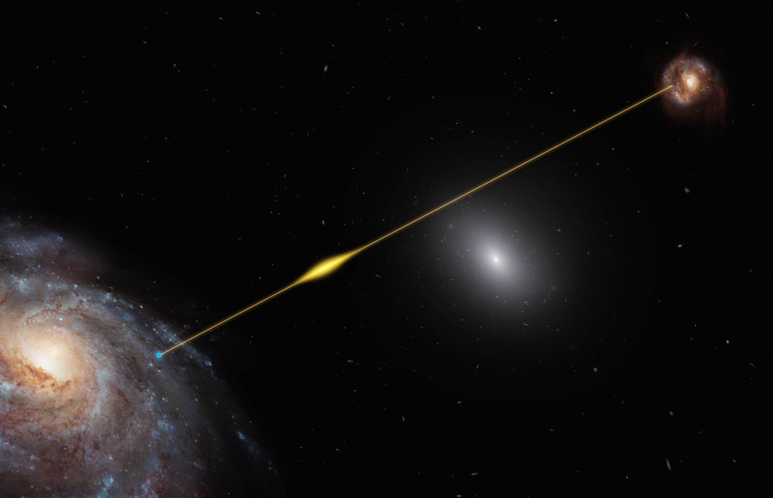
37 Facts About Flatspectrum Radio Quasars
Universe
03 May 2025
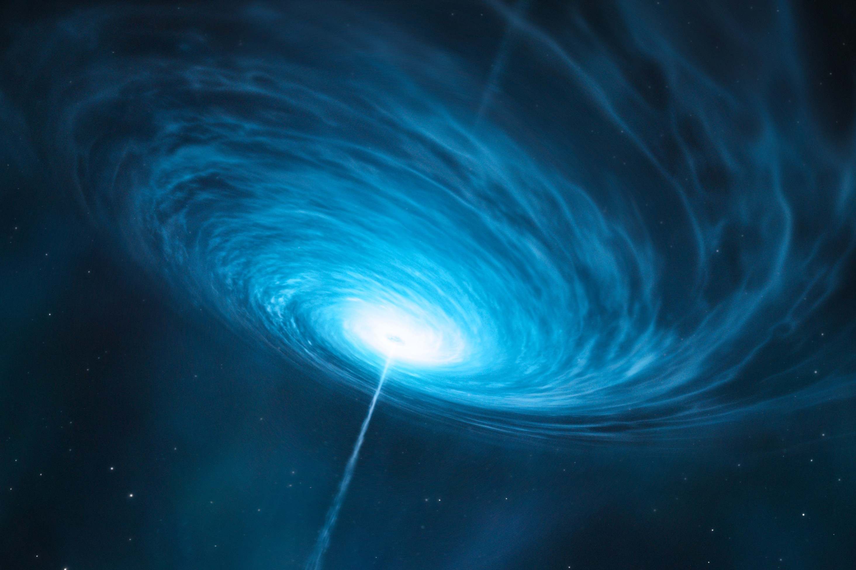
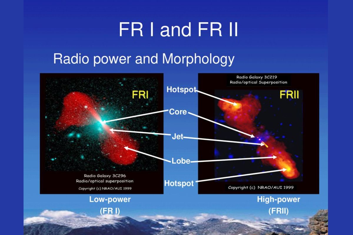
29 Facts About FR IFR II Dichotomy
Universe
03 May 2025
26 Facts About Quasar Feedback
Universe
03 May 2025
37 Facts About Eddington Time
Universe
03 May 2025
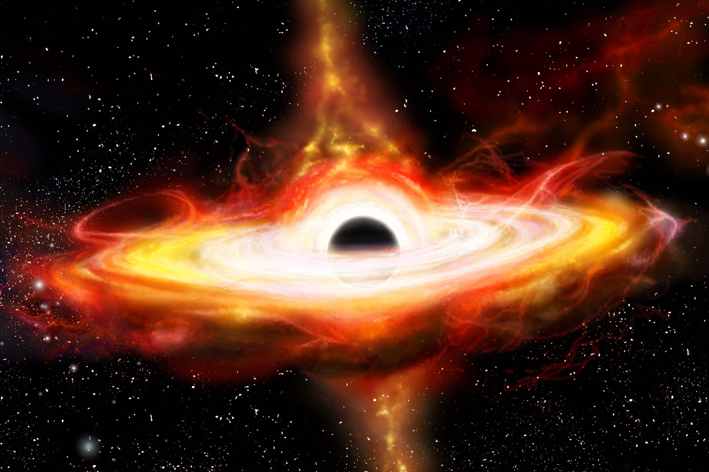
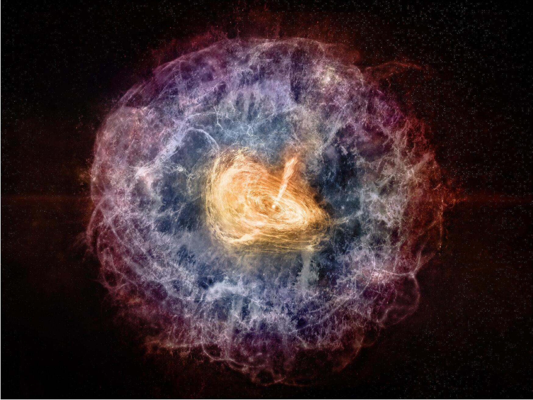
30 Facts About Black Hole Mass Function
Universe
03 May 2025
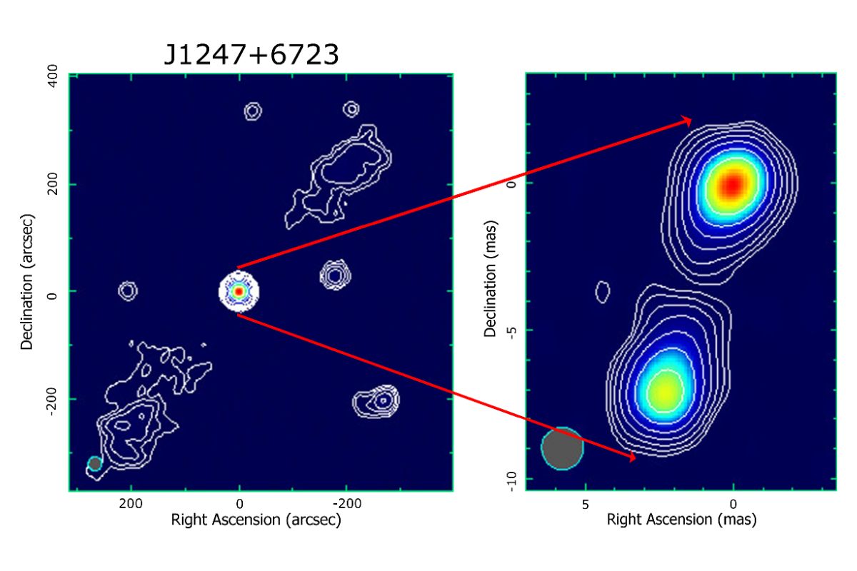
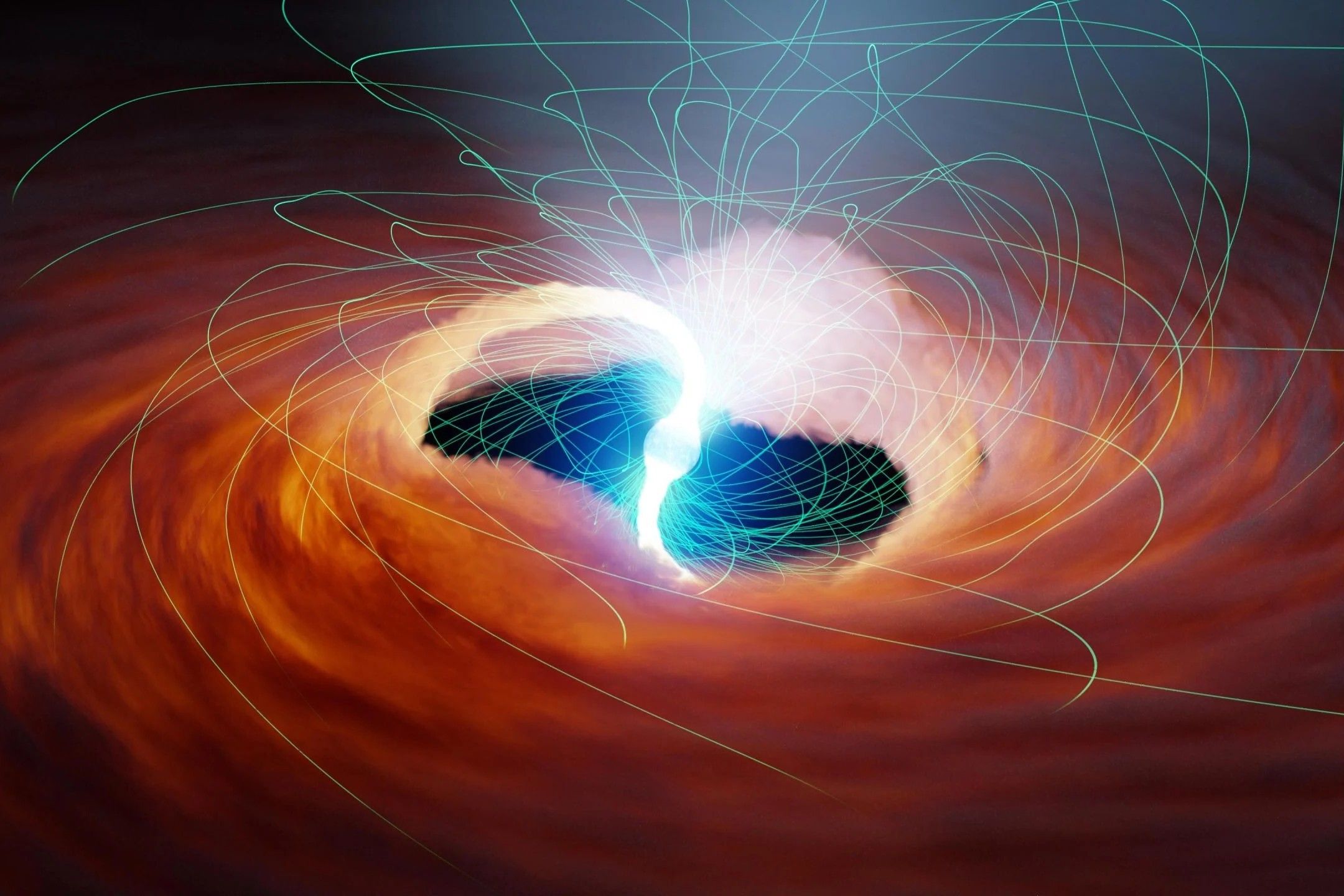
38 Facts About Corejet Morphology
Universe
03 May 2025
37 Facts About Bulgeblack Hole Relation
Universe
03 May 2025
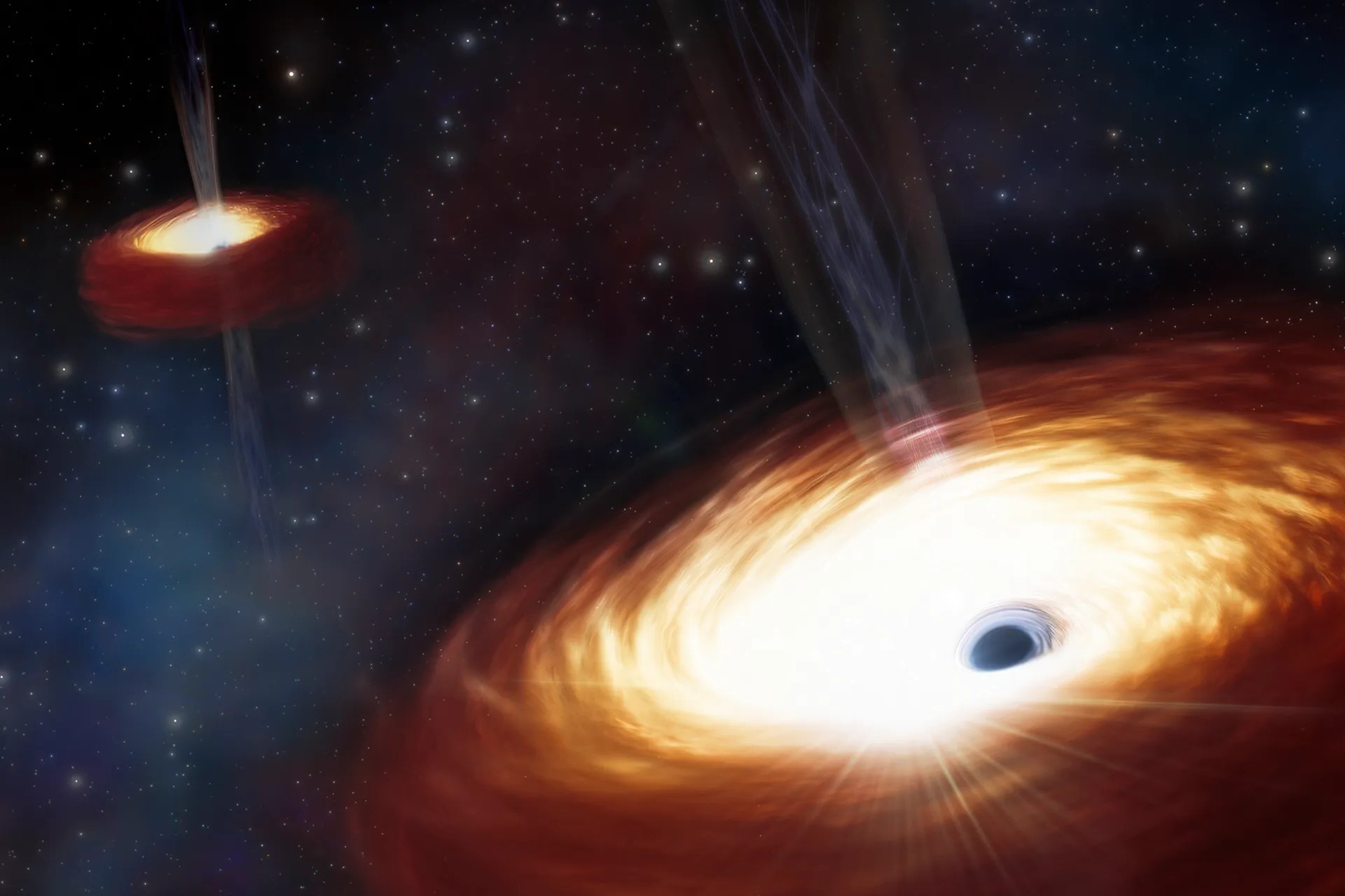
31 Facts About Galaxyblack Hole Coevolution
Universe
02 May 2025
34 Facts About Compact Symmetric Double
Universe
02 May 2025
28 Facts About Radioloudradioquiet Dichotomy
Universe
02 May 2025
37 Facts About Minihalos
Universe
02 May 2025
33 Facts About Cosmic Downsizing
Universe
02 May 2025
28 Facts About Color Superconducting Quark Matter
Universe
02 May 2025
34 Facts About Black Hole Fundamental Plane
Universe
02 May 2025
40 Facts About Radio Relics
Universe
02 May 2025
39 Facts About Radio Halos
Universe
02 May 2025
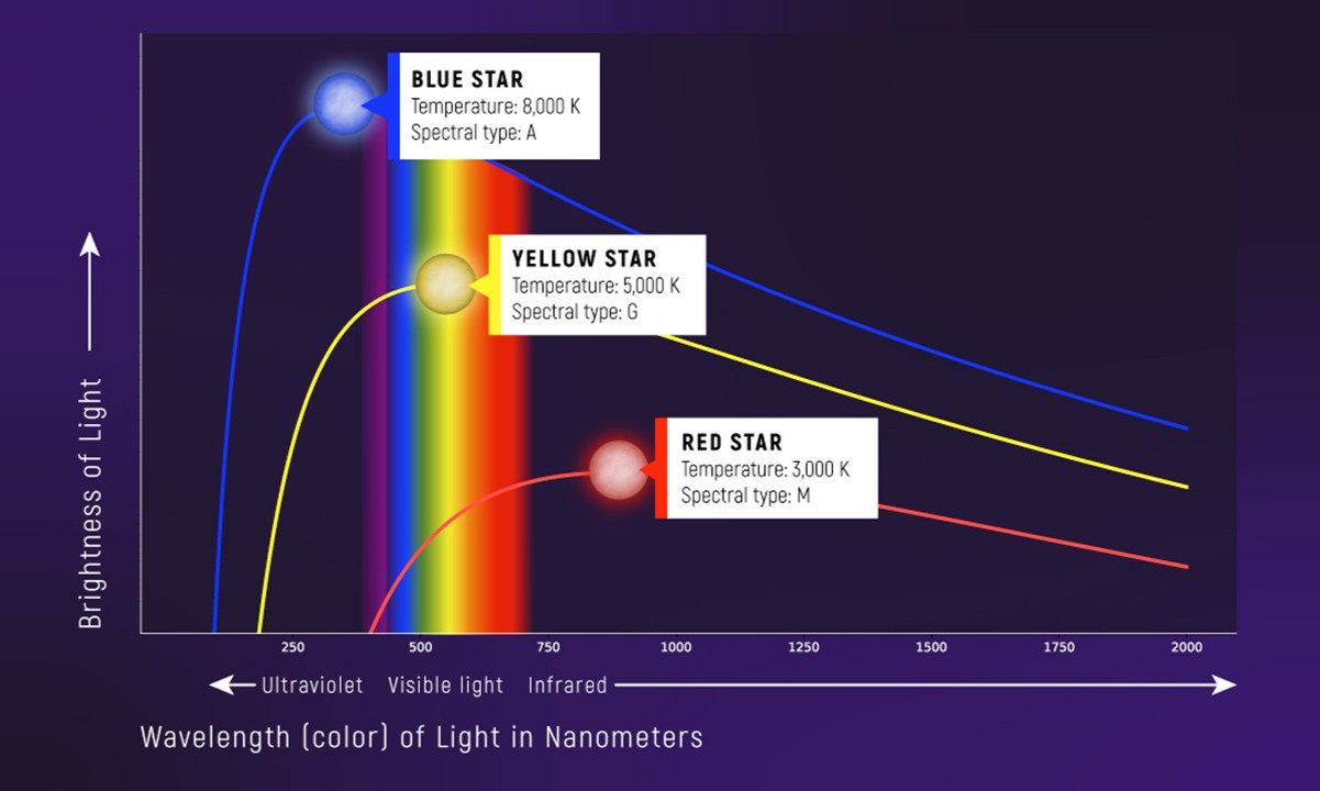
37 Facts About Massradius Relation
Universe
02 May 2025
32 Facts About Binary Neutron Star Systems
Posts navigation
1
2
…
18
Next
Trending Facts
General
16 Jan 2020
300 Crazy Fun Facts To Start Your Day
General
06 Feb 2020
100 Interesting Facts That Will Boggle Your Mind
General
31 Jan 2020
300 Random Facts No One Knows What To Do With
General
07 Feb 2020
100 Nutrition Facts To An Easier And Healthier Lifestyle
General
04 Feb 2020
100 Amazing Facts That Will Blow Your Mind
General
31 Jan 2020
300 WTF Facts That Will Make You Question Everything
General
17 Jan 2020
300 Weird Facts To Confuse And Amaze You
General
07 Feb 2020
100 Did You Know Facts Most People Have Never Heard About


16 Jan 2020
06 Feb 2020
31 Jan 2020
07 Feb 2020
04 Feb 2020
31 Jan 2020
17 Jan 2020
07 Feb 2020