


Cartography is the art and science of making maps. Have you ever wondered how maps are created or why they look the way they do? Maps have been around for thousands of years, helping people navigate the world. From ancient cave drawings to modern digital maps, cartography has evolved significantly. Maps not only show us where places are but also tell stories about history, culture, and geography. Whether you're a student, traveler, or just curious, understanding cartography can give you a new perspective on the world. Let's dive into 29 fascinating facts about cartography that will change the way you look at maps forever!
Cartography: The Art and Science of Mapmaking
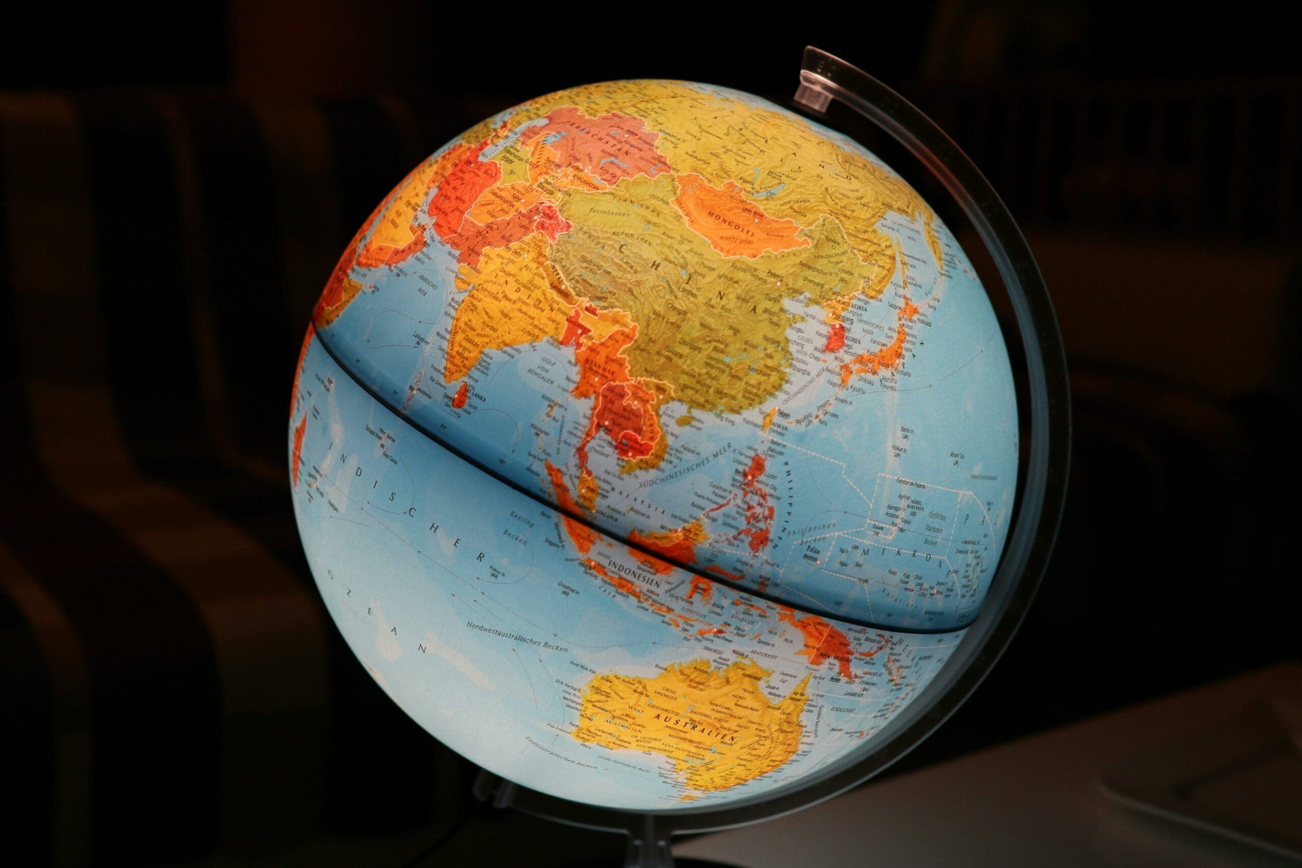
Cartography, the study and practice of making maps, has been a crucial part of human history. Maps help us understand the world, navigate it, and even dream about it. Here are some fascinating facts about cartography.
-
Ancient Beginnings: The earliest known maps date back to around 2300 BC. These maps were found in the ancient city of Babylon, etched on clay tablets.
-
Ptolemy's Influence: Claudius Ptolemy, a Greek geographer, wrote "Geographia" in the 2nd century AD. This work laid the foundation for modern cartography.
-
Medieval Maps: During the Middle Ages, maps were often more symbolic than accurate. They were used to depict religious and mythical elements rather than geographical accuracy.
-
The Age of Exploration: The 15th and 16th centuries saw a boom in mapmaking due to European explorations. Maps became more detailed and accurate as explorers charted new territories.
-
Mercator Projection: Gerardus Mercator, a Flemish cartographer, created the Mercator projection in 1569. This map projection is still widely used for navigation today.
-
First Atlas: Abraham Ortelius published the first modern atlas, "Theatrum Orbis Terrarum," in 1570. It contained 53 maps and was a significant milestone in cartography.
-
Longitude Problem: Determining longitude was a major challenge for early cartographers. It wasn't until the invention of the marine chronometer in the 18th century that accurate longitude measurements became possible.
-
Topographic Maps: These maps show the physical features of an area, including mountains, valleys, and rivers. They are essential for hikers, engineers, and geologists.
-
Thematic Maps: These maps focus on specific themes or subjects, such as population density, climate, or economic activities. They help visualize complex data in an understandable way.
-
GIS Technology: Geographic Information Systems (GIS) revolutionized cartography in the 20th century. GIS allows for the creation, analysis, and visualization of spatial data.
-
Digital Maps: With the advent of computers, digital maps have become the norm. They offer interactive features and real-time updates, making navigation easier than ever.
-
Google Maps: Launched in 2005, Google Maps has become one of the most popular digital mapping services. It provides detailed maps, satellite imagery, and street views.
-
Cartographic Symbols: Maps use various symbols to represent different features, such as roads, rivers, and cities. Understanding these symbols is key to reading a map accurately.
-
Map Projections: There are many different ways to project the Earth's surface onto a flat map. Each projection has its own advantages and disadvantages, depending on the purpose of the map.
-
Scale: The scale of a map indicates the relationship between distances on the map and actual distances on the ground. A larger scale map shows more detail, while a smaller scale map covers a larger area.
-
Cartouche: A decorative element often found on old maps, the cartouche contains the map's title, the cartographer's name, and other information.
-
Compass Rose: This symbol on a map shows the cardinal directions (north, south, east, west) and helps users orient themselves.
-
Map Legends: Also known as a key, the legend explains the symbols and colors used on a map, making it easier to understand.
-
Choropleth Maps: These thematic maps use different shades or colors to represent data values, such as population density or income levels.
-
Remote Sensing: This technology involves collecting data about the Earth's surface from satellites or aircraft. It has greatly enhanced the accuracy and detail of modern maps.
-
Cartographic Generalization: This process involves simplifying the details of a map to make it more readable. It includes omitting minor features and exaggerating important ones.
-
Map Libraries: Institutions like the Library of Congress and the British Library have extensive collections of historical maps, preserving the history of cartography.
-
Mapmaking Tools: Early cartographers used tools like compasses, dividers, and astrolabes. Today, they use advanced software and GPS technology.
-
Cadastral Maps: These maps show property boundaries and ownership details. They are essential for land management and legal purposes.
-
Cartographic Errors: No map is perfect. Errors can occur due to outdated information, scale limitations, or human mistakes.
-
Fantasy Maps: Many authors and game designers create fictional maps for their stories and games. These maps add depth and realism to imaginary worlds.
-
Map Collecting: Some people collect maps as a hobby. Antique maps, in particular, can be valuable and provide a glimpse into the past.
-
Map Design: Good map design involves balancing aesthetics and functionality. A well-designed map is both beautiful and easy to use.
-
Future of Cartography: With advancements in technology, the future of cartography looks exciting. Augmented reality, 3D mapping, and real-time data integration are just a few of the innovations on the horizon.
Maps: More Than Just Directions
Maps aren't just tools for finding your way. They tell stories, reveal history, and show how our world has changed over time. From ancient maps carved on stone to modern digital maps on our phones, they’ve always been a part of human life. They help us understand geography, plan adventures, and even solve mysteries. Next time you look at a map, think about the countless hours of work and the incredible technology behind it. Appreciate the art and science that make it possible to explore new places without leaving your home. Maps connect us to the past, guide us in the present, and inspire future journeys. So, whether you’re a traveler, a student, or just curious, maps have something fascinating to offer. Keep exploring, learning, and discovering the world through the amazing lens of cartography.
Was this page helpful?
Our commitment to delivering trustworthy and engaging content is at the heart of what we do. Each fact on our site is contributed by real users like you, bringing a wealth of diverse insights and information. To ensure the highest standards of accuracy and reliability, our dedicated editors meticulously review each submission. This process guarantees that the facts we share are not only fascinating but also credible. Trust in our commitment to quality and authenticity as you explore and learn with us.