
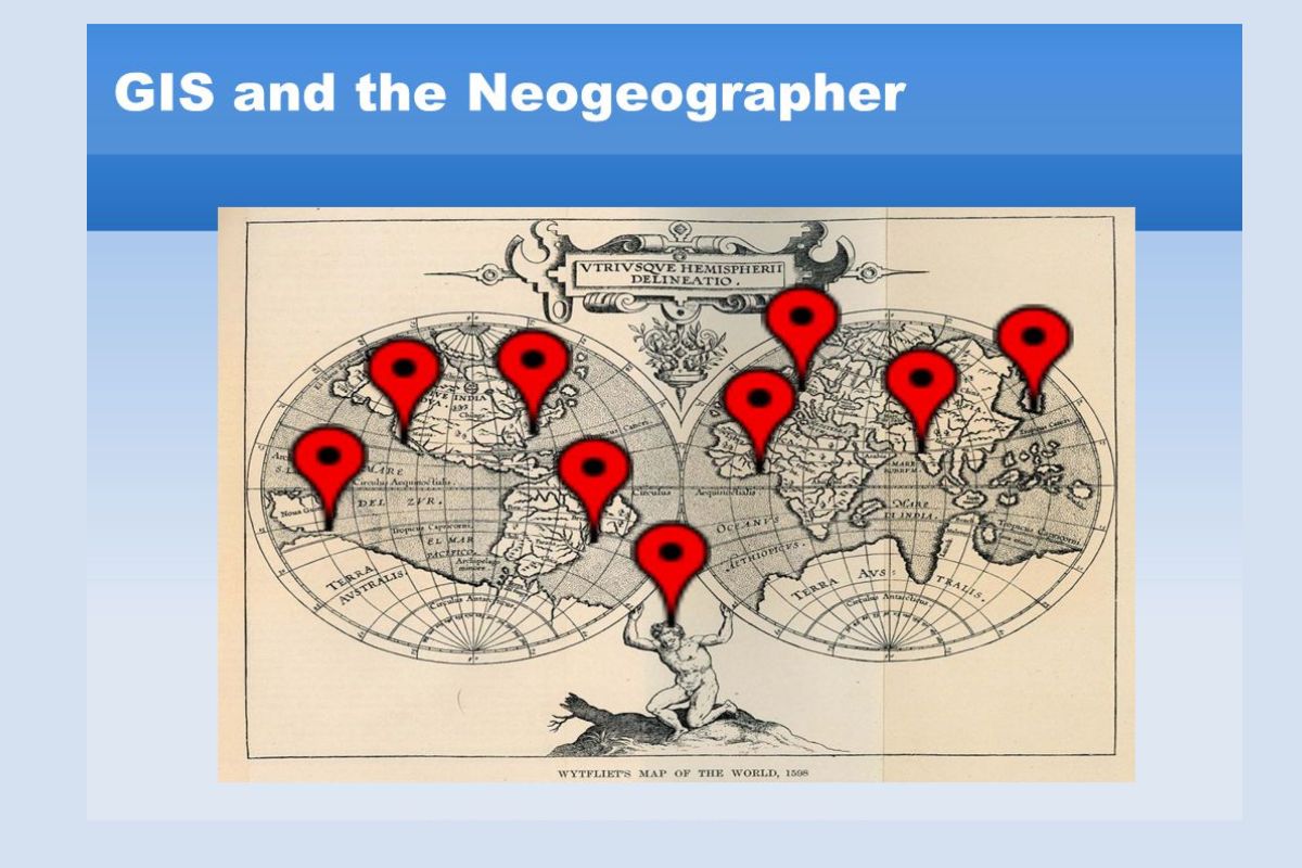
Neogeography is a term that might sound complex, but it's actually quite simple. It refers to the use of geographical techniques and tools by non-experts to create and share maps and geographic information. Neogeography has become popular thanks to the internet and easy-to-use mapping tools like Google Maps. People use it for everything from planning trips to tracking wildlife. Unlike traditional geography, which requires specialized knowledge, neogeography is accessible to everyone. This democratization of mapping allows anyone to contribute to our understanding of the world. Ready to learn some cool facts about neogeography? Let's dive in!
What is Neogeography?
Neogeography is a term that refers to the use of geographical techniques and tools for personal and community activities or by a non-expert group of users. It blends the traditional aspects of geography with modern technology, making it accessible to everyone.
- Neogeography combines traditional geography with modern technology, making it accessible to non-experts.
- This field often involves the use of GPS devices, smartphones, and web-based mapping services.
- Google Maps and OpenStreetMap are popular tools used in neogeography.
- Neogeography allows users to create custom maps for personal or community use.
- It has applications in social media, where users can tag locations in posts and photos.
The Evolution of Neogeography
Neogeography has evolved rapidly with advancements in technology. Let's explore some key milestones in its development.
- The term neogeography was first coined in the early 2000s.
- The rise of Web 2.0 technologies played a significant role in its growth.
- Crowdsourcing has become a fundamental aspect of neogeography, allowing users to contribute data.
- The development of smartphones with built-in GPS revolutionized the field.
- Geotagging became popular with the advent of social media platforms like Instagram and Twitter.
Applications of Neogeography
Neogeography has a wide range of applications, from personal use to large-scale projects. Here are some interesting examples.
- Disaster response teams use neogeography to map affected areas and coordinate relief efforts.
- Urban planning benefits from neogeography by involving community input in development projects.
- Environmental monitoring uses neogeography to track changes in ecosystems.
- Tourism has been enhanced with interactive maps and location-based services.
- Education utilizes neogeography to teach students about geography in an engaging way.
Tools and Technologies in Neogeography
Various tools and technologies have made neogeography more accessible and powerful. Let's look at some of the most important ones.
- Google Earth allows users to explore the world in 3D.
- ArcGIS Online provides powerful mapping and analysis tools.
- QGIS is an open-source geographic information system used by many neogeographers.
- Mapbox offers customizable maps and location data services.
- Leaflet is a popular open-source JavaScript library for interactive maps.
The Impact of Neogeography on Society
Neogeography has had a profound impact on society, changing the way we interact with the world around us.
- It has democratized access to geographic information, allowing anyone to create and share maps.
- Community mapping projects have empowered local communities to document and address issues.
- Citizen science initiatives use neogeography to collect data for research projects.
- Location-based services have become an integral part of daily life, from navigation to finding nearby restaurants.
- Neogeography has increased public awareness of geographic issues and environmental concerns.
The Future of Neogeography
The future of neogeography looks promising, with new technologies and applications on the horizon.
- Augmented reality (AR) will enhance the way we interact with maps and geographic data.
- Artificial intelligence (AI) will improve the accuracy and efficiency of mapping and analysis.
- Drones will provide new ways to collect geographic data from hard-to-reach areas.
- Blockchain technology could be used to verify and secure geographic data.
Neogeography continues to evolve, offering exciting possibilities for the future.
The Power of Neogeography
Neogeography has transformed how we interact with maps and spatial data. It's not just for experts anymore; anyone with internet access can contribute to and benefit from this technology. From tracking wildlife migrations to planning urban developments, neogeography offers endless possibilities. It empowers communities to share local knowledge, making maps more accurate and useful.
Businesses use it for market analysis, while environmentalists track changes in ecosystems. Even social movements leverage neogeography to organize and mobilize. The blend of user-generated content and professional data creates a richer, more dynamic mapping experience.
As technology advances, neogeography will only become more integral to our daily lives. Whether you're a student, a professional, or just curious, diving into neogeography opens up a world of opportunities. So, next time you look at a map, remember the layers of information and collaboration that make it possible.
Was this page helpful?
Our commitment to delivering trustworthy and engaging content is at the heart of what we do. Each fact on our site is contributed by real users like you, bringing a wealth of diverse insights and information. To ensure the highest standards of accuracy and reliability, our dedicated editors meticulously review each submission. This process guarantees that the facts we share are not only fascinating but also credible. Trust in our commitment to quality and authenticity as you explore and learn with us.