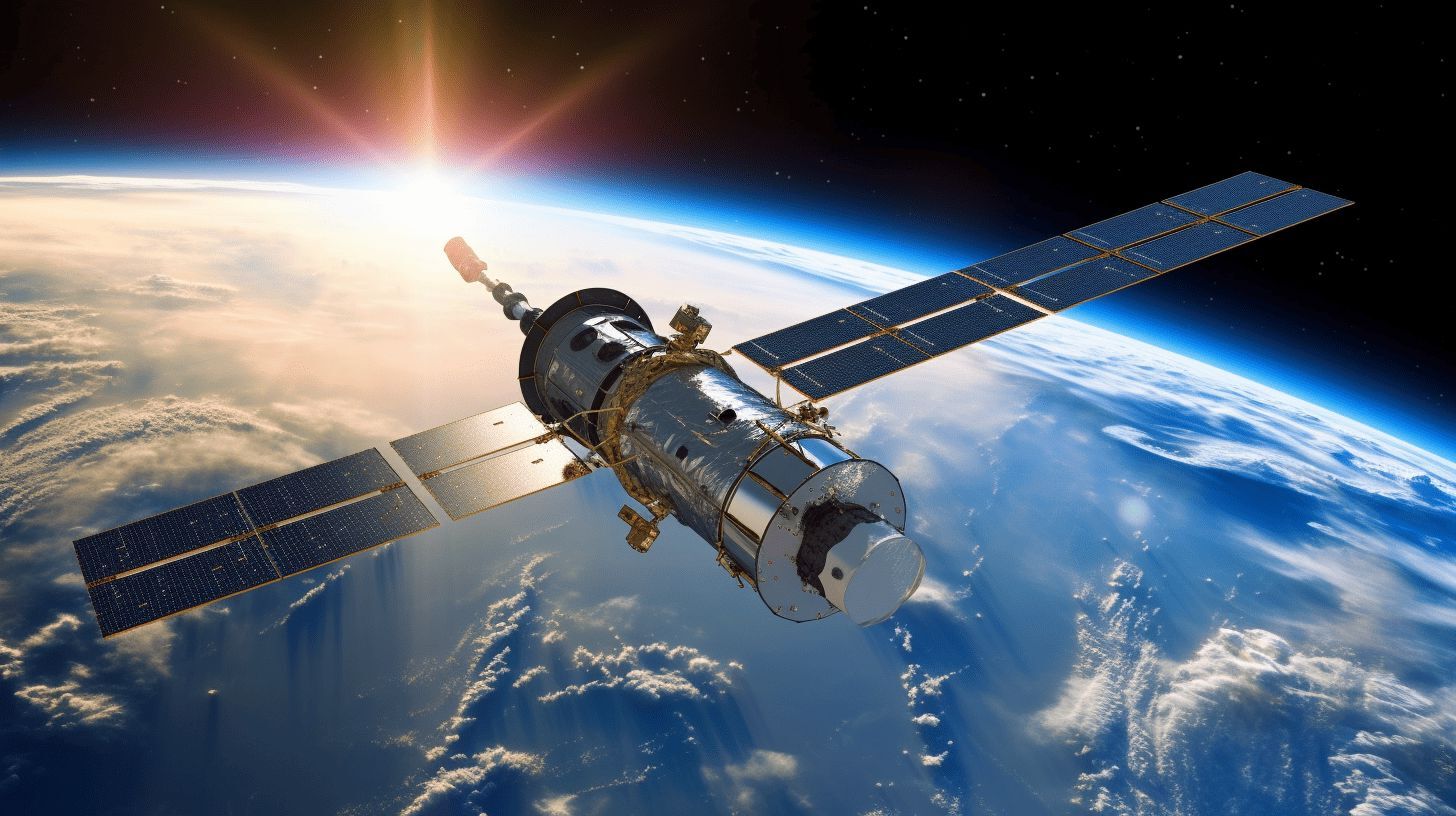
Geodesy is the science of measuring and understanding Earth's geometric shape, orientation in space, and gravity field. Ever wondered how GPS works or how we map our planet so accurately? It’s all thanks to geodesy! This field combines mathematics, physics, and astronomy to provide precise data for navigation, construction, and even climate studies. From ancient Greeks using simple tools to modern satellites orbiting Earth, geodesy has evolved dramatically. Curious about how this science impacts your daily life? Let’s dive into 24 fascinating facts about geodesy that will make you appreciate the world around you in a whole new way.
Key Takeaways:
- Geodesy is the science of measuring Earth's shape and gravity. It helps with GPS, climate studies, and earthquake prediction, making our world safer and more understandable.
- Geodesy uses cool tools like satellites and lasers to measure Earth. It helps with maps, navigation, and construction, making our daily lives easier and safer.
What is Geodesy?
Geodesy is the science of measuring and understanding Earth's geometric shape, orientation in space, and gravity field. This field plays a crucial role in navigation, mapping, and understanding our planet's physical properties.
-
Geodesy comes from the Greek words "geo," meaning Earth, and "daiein," meaning to divide. It literally means "dividing the Earth."
-
Ancient Greeks were among the first to study geodesy. Eratosthenes calculated Earth's circumference around 240 B.C.
-
Geodesists use satellites, lasers, and other high-tech tools to measure Earth's shape and size accurately.
Importance of Geodesy
Geodesy is essential for various applications, from navigation to climate studies. It helps us understand our planet better and make informed decisions.
-
GPS technology relies heavily on geodesy. Without it, your smartphone's navigation system wouldn't work.
-
Sea level rise measurements depend on geodesy. This data is crucial for climate change studies.
-
Earthquake prediction models use geodetic data to understand tectonic movements and potential quake zones.
Tools and Techniques in Geodesy
Geodesists use a variety of tools and techniques to gather data. These methods have evolved significantly over time.
-
Satellite geodesy involves using satellites to measure Earth's shape and gravitational field.
-
Laser ranging measures distances by timing how long it takes for a laser beam to travel to a target and back.
-
GNSS (Global Navigation Satellite Systems) includes systems like GPS, GLONASS, and Galileo, which provide precise location data.
Applications of Geodesy
Geodesy has numerous practical applications that impact our daily lives and scientific understanding.
-
Mapping and cartography rely on geodetic data to create accurate maps.
-
Aviation and maritime navigation use geodetic information for safe and efficient travel.
-
Construction projects like bridges and tunnels require precise geodetic measurements to ensure structural integrity.
Historical Milestones in Geodesy
The history of geodesy is filled with significant milestones that have advanced our understanding of Earth.
-
Eratosthenes' experiment in 240 B.C. was one of the earliest known geodetic measurements.
-
The French Geodesic Mission in the 18th century aimed to measure the length of a meridian arc to determine Earth's size.
-
The International Association of Geodesy (IAG) was founded in 1862 to promote geodetic research and collaboration.
Modern Geodesy
Modern geodesy incorporates advanced technology and methodologies to achieve unprecedented accuracy.
-
VLBI (Very Long Baseline Interferometry) uses radio telescopes to measure Earth's rotation and tectonic plate movements.
-
InSAR (Interferometric Synthetic Aperture Radar) detects ground deformation by comparing radar images taken at different times.
-
GRACE (Gravity Recovery and Climate Experiment) satellites measure changes in Earth's gravity field, providing insights into water movement and ice mass loss.
Challenges in Geodesy
Despite advancements, geodesy faces several challenges that researchers continue to address.
-
Atmospheric interference can affect satellite signals, leading to errors in measurements.
-
Tectonic plate movements constantly change Earth's shape, requiring continuous monitoring and updates.
-
Sea level changes due to climate change complicate geodetic measurements and require precise adjustments.
Future of Geodesy
The future of geodesy looks promising with ongoing research and technological advancements.
-
Quantum technology could revolutionize geodesy by providing even more precise measurements.
-
AI and machine learning are being integrated into geodetic data analysis to improve accuracy and efficiency.
-
Global collaboration among geodesists will continue to enhance our understanding of Earth and address global challenges.
Geodesy: A World of Wonders
Geodesy isn't just about measuring the Earth. It's a field that impacts our daily lives in ways we often overlook. From GPS navigation to understanding climate change, geodesy plays a crucial role. The precise measurements help in disaster management, ensuring accurate maps, and even in space exploration.
Knowing these facts can give you a new appreciation for the science behind the scenes. Next time you use your GPS or see a weather forecast, remember the geodesists working tirelessly to make it possible. Their work helps us understand our planet better, making our lives easier and safer.
So, whether you're a student, a professional, or just curious, keep exploring the wonders of geodesy. It's a fascinating world that continues to evolve, offering new insights and advancements every day.
Frequently Asked Questions
Was this page helpful?
Our commitment to delivering trustworthy and engaging content is at the heart of what we do. Each fact on our site is contributed by real users like you, bringing a wealth of diverse insights and information. To ensure the highest standards of accuracy and reliability, our dedicated editors meticulously review each submission. This process guarantees that the facts we share are not only fascinating but also credible. Trust in our commitment to quality and authenticity as you explore and learn with us.
