


Geological mapping is like creating a treasure map of the Earth's crust. Ever wondered how scientists know where to find oil, minerals, or even predict earthquakes? Geological maps hold the key! These maps show the distribution, nature, and age of rock formations. They help us understand the Earth's history and structure. Imagine peeling back layers of the ground to reveal secrets hidden for millions of years. From identifying fault lines to locating natural resources, geological mapping is crucial for both science and industry. Ready to dig deeper into the world of geological mapping? Let's uncover 33 fascinating facts!
What is Geological Mapping?
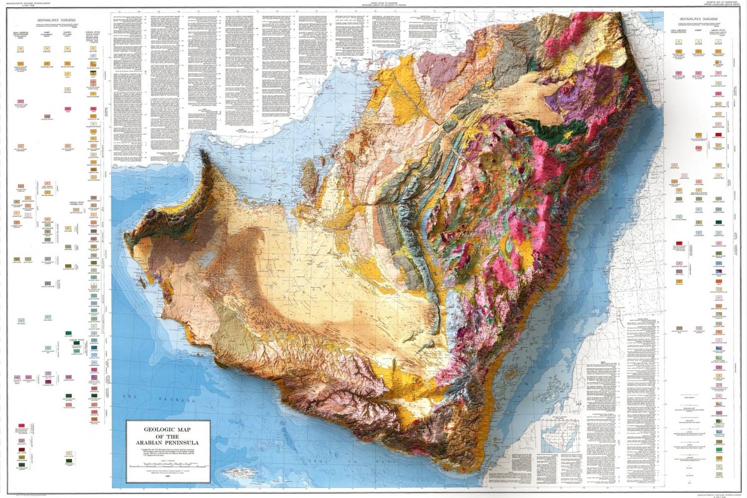
Geological mapping is the process of documenting the distribution, nature, and age of rock formations on the Earth's surface. These maps help scientists understand the Earth's history, locate resources, and predict natural hazards.
-
Geological maps show the types of rocks and their ages. They use colors and symbols to represent different rock types and geological features.
-
First geological map was created in 1815. William Smith, an English geologist, made the first detailed geological map of England and Wales.
-
Geological maps help find natural resources. They are essential for locating minerals, oil, gas, and groundwater.
-
They reveal Earth's history. By studying rock layers, geologists can interpret past environments, climate changes, and major events like volcanic eruptions.
-
Geological maps are used in construction. Engineers use them to assess ground stability and plan safe building projects.
Tools and Techniques in Geological Mapping
Creating a geological map involves various tools and techniques. From traditional fieldwork to modern technology, these methods ensure accurate and detailed maps.
-
Fieldwork is crucial. Geologists spend time in the field, observing and recording rock formations directly.
-
Topographic maps are used as a base. These maps show the landscape's shape, helping geologists understand how rock formations relate to the terrain.
-
Aerial photography aids mapping. Photos taken from planes or drones provide a bird's-eye view of geological features.
-
Satellite imagery offers detailed views. Satellites capture images that reveal large-scale geological patterns and changes over time.
-
Geophysical surveys detect underground features. Techniques like seismic surveys and ground-penetrating radar help map what's beneath the surface.
Importance of Geological Mapping in Natural Disaster Prediction
Geological maps play a vital role in predicting and mitigating natural disasters. They provide essential information for understanding and managing risks.
-
They identify earthquake-prone areas. Maps show fault lines and seismic activity zones, helping predict and prepare for earthquakes.
-
Geological maps highlight landslide risks. By studying rock types and slopes, geologists can identify areas susceptible to landslides.
-
They help predict volcanic eruptions. Maps of volcanic regions show past lava flows and eruption patterns, aiding in eruption forecasting.
-
Flood risk assessment uses geological maps. They reveal soil types and drainage patterns, crucial for understanding flood risks.
-
Tsunami risk zones are mapped. Coastal geological maps show areas at risk from tsunamis, helping in evacuation planning.
Geological Mapping and Environmental Protection
Geological mapping is not just about resources and hazards. It also plays a significant role in environmental protection and conservation efforts.
-
They help protect water resources. Maps show aquifers and groundwater flow, essential for managing water supplies.
-
Geological maps aid in soil conservation. By understanding soil types and erosion patterns, better land management practices can be implemented.
-
They support habitat conservation. Maps reveal the geological features that support various ecosystems, aiding in habitat protection.
-
Pollution tracking uses geological maps. They help trace the spread of contaminants in soil and groundwater.
-
Geological maps guide sustainable mining. They ensure that mining activities are planned to minimize environmental impact.
Advances in Geological Mapping Technology
Technology has revolutionized geological mapping, making it more accurate and efficient. Modern tools and software have transformed how geologists work.
-
GIS (Geographic Information Systems) is a game-changer. GIS software allows geologists to create, analyze, and share detailed maps digitally.
-
3D mapping provides depth. Advanced software can create three-dimensional models of geological formations.
-
Remote sensing enhances mapping. Techniques like LiDAR (Light Detection and Ranging) provide high-resolution data from the air.
-
Drones offer new perspectives. Unmanned aerial vehicles can capture detailed images and data from hard-to-reach areas.
-
Machine learning aids in data analysis. Algorithms can process vast amounts of geological data, identifying patterns and anomalies.
Geological Mapping in Education and Research
Geological maps are invaluable tools in education and research. They help students and scientists explore and understand the Earth's complex systems.
-
They are essential in geology education. Students learn to read and interpret maps, gaining insights into geological processes.
-
Field trips often involve mapping exercises. Hands-on experience with geological mapping is a key part of geology training.
-
Research relies on geological maps. Scientists use them to study everything from plate tectonics to climate change.
-
They help in archaeological studies. Geological maps can reveal ancient landscapes and human activity sites.
-
Paleontologists use them to find fossils. Maps show where certain rock types and ages are exposed, guiding fossil hunts.
The Future of Geological Mapping
As technology continues to advance, the future of geological mapping looks promising. New methods and tools will further enhance our understanding of the Earth's geology.
-
Augmented reality (AR) could transform mapping. AR technology might allow geologists to visualize geological features in the field.
-
Big data will play a bigger role. The integration of large datasets will improve the accuracy and detail of geological maps.
-
Collaboration will increase. International projects and data sharing will lead to more comprehensive and global geological maps.
The Final Word on Geological Mapping
Geological mapping isn't just for scientists. It helps us understand our planet's history, predict natural disasters, and find resources like minerals and water. These maps show the layers of the Earth, revealing how landscapes formed over millions of years. They also guide construction projects, ensuring buildings stand on solid ground.
By studying geological maps, we can see where faults and volcanoes might cause future problems. This knowledge saves lives and money. Plus, these maps are crucial for finding fossil fuels and other valuable materials.
In short, geological mapping is a tool that benefits everyone. It connects us to Earth's past and prepares us for the future. So next time you see a geological map, remember it's more than just lines and colors—it's a story of our planet.
Was this page helpful?
Our commitment to delivering trustworthy and engaging content is at the heart of what we do. Each fact on our site is contributed by real users like you, bringing a wealth of diverse insights and information. To ensure the highest standards of accuracy and reliability, our dedicated editors meticulously review each submission. This process guarantees that the facts we share are not only fascinating but also credible. Trust in our commitment to quality and authenticity as you explore and learn with us.