


Relief is a fascinating aspect of geography that shapes our world in countless ways. But what exactly is relief? Relief refers to the variations in elevation and slope in a particular area of the Earth's surface. These variations create the diverse landscapes we see, from towering mountains to rolling hills and deep valleys. Understanding relief helps us appreciate the natural beauty around us and provides insights into geological processes. Whether you're a student, a nature enthusiast, or just curious, learning about relief can be both educational and exciting. Let's dive into 36 intriguing facts about relief that will broaden your knowledge and spark your curiosity!
What is Relief?
Relief refers to the variations in elevation and slope of the Earth's surface. It shapes landscapes, influences weather patterns, and impacts human activities. Here are some fascinating facts about relief.
-
Relief is measured by the difference in height between the highest and lowest points in an area.
-
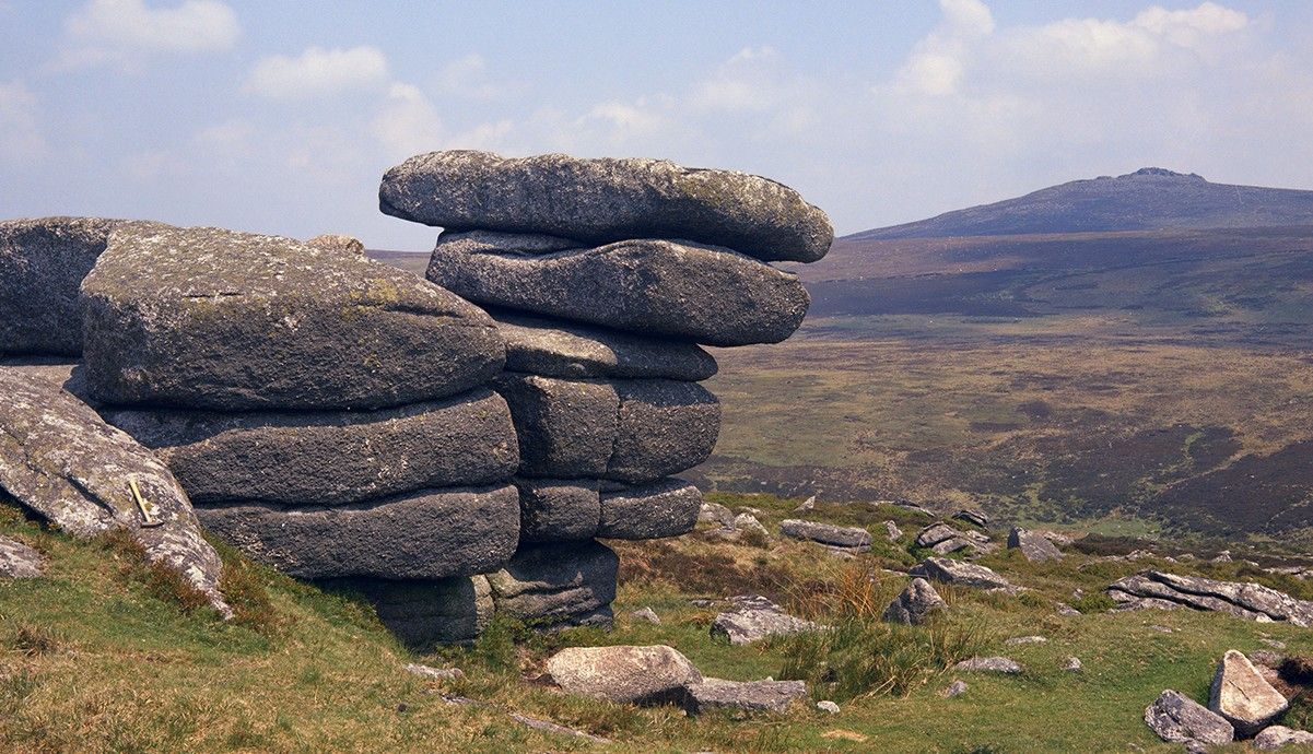
Mountains, valleys, and plains are all examples of different types of relief.
-
Relief can be depicted on maps using contour lines, which connect points of equal elevation.
-
The Himalayas, formed by the collision of the Indian and Eurasian tectonic plates, are the highest mountain range in the world.
-
The Mariana Trench in the Pacific Ocean is the deepest part of the world's oceans, reaching depths of over 36,000 feet.
-
Plate tectonics play a crucial role in shaping the Earth's relief by causing the formation of mountains, earthquakes, and volcanoes.
Types of Relief
Relief can be categorized into several types based on its characteristics and formation processes. Here are some key types of relief.
-
Mountains: Elevated landforms that rise prominently above their surroundings, often with steep slopes and significant height differences.
-
Hills: Smaller than mountains, hills have gentle slopes and lower elevations.
-
Plains: Flat or gently rolling areas with minimal elevation changes, often found in lowland regions.
-
Valleys: Low areas between hills or mountains, typically with a river or stream running through them.
-
Plateaus: Elevated flat areas that have been uplifted by tectonic forces.
-
Basins: Low-lying areas surrounded by higher land, often containing lakes or rivers.
How Relief Affects Climate
Relief has a significant impact on climate and weather patterns. Here are some ways relief influences the environment.
-
Mountains can block the movement of air masses, creating rain shadows on their leeward sides.
-
Higher elevations generally experience cooler temperatures due to the decrease in atmospheric pressure.
-
Valleys can trap cold air, leading to temperature inversions and frost pockets.
-
Coastal plains often have milder climates due to the influence of nearby oceans.
-
Plateaus can experience extreme temperature variations between day and night.
-
Relief can affect wind patterns, with mountains and valleys channeling and redirecting airflow.
Human Interaction with Relief
Humans have adapted to and modified relief in various ways throughout history. Here are some examples of human interaction with relief.
-
Terracing is a farming technique used on steep slopes to create flat areas for agriculture.
-
Mining activities often take place in mountainous regions rich in mineral resources.
-
Urban development can be challenging in areas with rugged relief, requiring extensive engineering and construction efforts.
-
Tourism often thrives in areas with dramatic relief, such as mountain ranges and coastal cliffs.
-
Dams and reservoirs are often built in valleys to harness water resources for irrigation and hydroelectric power.
-
Roads and railways must navigate through or around areas with significant relief, sometimes requiring tunnels and bridges.
Relief and Natural Disasters
Relief can influence the occurrence and impact of natural disasters. Here are some ways relief is connected to natural hazards.
-
Earthquakes are more common in areas with active tectonic plate boundaries, often resulting in mountainous relief.
-
Landslides can occur on steep slopes, especially after heavy rainfall or seismic activity.
-
Flooding is more likely in low-lying areas such as valleys and basins.
-
Volcanic eruptions can create new landforms and significantly alter existing relief.
-
Avalanches are a risk in mountainous regions with heavy snowfall and steep slopes.
-
Tsunamis can be triggered by underwater earthquakes, impacting coastal relief.
Interesting Facts About Relief
Relief is not just about mountains and valleys; it encompasses a wide range of fascinating features and phenomena. Here are some intriguing facts.
-
The Grand Canyon in the United States is one of the most famous examples of river erosion creating dramatic relief.
-
The Andes Mountains in South America are the longest continental mountain range in the world.
-
The Great Rift Valley in Africa is a major geological feature formed by tectonic activity.
-
The Dead Sea, located in a basin, is the lowest point on the Earth's surface, at over 1,400 feet below sea level.
-
The Appalachian Mountains in the eastern United States are among the oldest mountain ranges, formed over 480 million years ago.
-
The Atacama Desert in Chile, located between the Andes Mountains and the Pacific Ocean, is one of the driest places on Earth.
The Final Stretch
Relief maps are more than just tools for hikers or geographers. They offer a visual representation of our world's diverse landscapes, from towering mountains to deep valleys. These maps help us understand elevation changes, making them invaluable for planning trips, studying geography, or even appreciating the beauty of nature.
Whether you're a student, a teacher, or just someone curious about the world, relief maps can provide a wealth of information. They bridge the gap between flat maps and the real world, giving us a better grasp of the terrain.
Next time you look at a relief map, take a moment to appreciate the intricate details and the effort that goes into creating these masterpieces. They truly are a blend of art and science, capturing the essence of our planet's topography.
Was this page helpful?
Our commitment to delivering trustworthy and engaging content is at the heart of what we do. Each fact on our site is contributed by real users like you, bringing a wealth of diverse insights and information. To ensure the highest standards of accuracy and reliability, our dedicated editors meticulously review each submission. This process guarantees that the facts we share are not only fascinating but also credible. Trust in our commitment to quality and authenticity as you explore and learn with us.