


Isopach maps might sound like something out of a geology textbook, but they’re actually super cool tools used by scientists to understand the thickness of rock layers. These maps help geologists figure out where oil, gas, and minerals might be hiding underground. Imagine a treasure map, but instead of gold, it shows layers of earth! Isopach maps are essential for anyone studying the Earth’s crust. They can reveal ancient environments, like where rivers once flowed or where oceans used to be. Curious about how these maps are made or what secrets they hold? Let’s dive into 35 fascinating facts about isopach maps!
What is an Isopach?
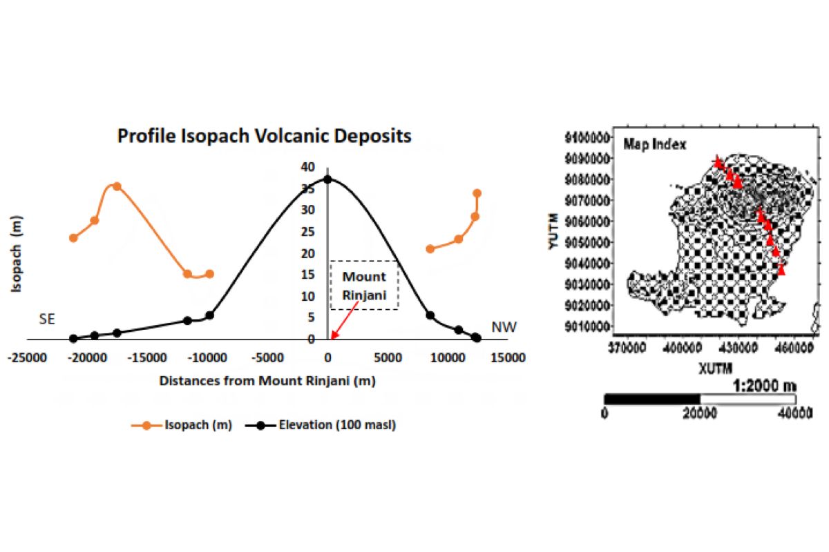
An isopach is a line on a map that connects points of equal thickness within a particular geological layer. These lines help geologists understand the distribution and volume of sedimentary deposits, volcanic ash, or other geological materials. Let's dive into some fascinating facts about isopachs.
- Isopach maps are essential tools in geology, particularly in the study of sedimentary basins and volcanic regions.
- The term "isopach" comes from the Greek words "isos," meaning equal, and "pachys," meaning thick.
- Isopach maps can reveal the thickness of different layers, helping geologists determine the history of sediment deposition.
- These maps are often used in the oil and gas industry to locate potential reservoirs.
- Isopach lines are similar to contour lines on a topographic map, but instead of elevation, they represent thickness.
How Are Isopach Maps Created?
Creating an isopach map involves collecting data from various sources and plotting it on a map. This process requires precision and expertise.
- Geologists use data from boreholes, seismic surveys, and outcrops to create isopach maps.
- Borehole data provides direct measurements of layer thickness at specific points.
- Seismic surveys use sound waves to map underground structures, helping to estimate layer thickness.
- Outcrops are exposed sections of rock layers that can be measured directly.
- Interpolation techniques are used to estimate thickness between data points, creating a continuous map.
Applications of Isopach Maps
Isopach maps have a wide range of applications in various fields, from natural resource exploration to environmental studies.
- Oil and gas exploration relies heavily on isopach maps to identify potential drilling sites.
- Mining companies use these maps to locate ore deposits and plan extraction methods.
- Volcanologists use isopach maps to study the distribution of volcanic ash and lava flows.
- Environmental scientists use them to assess sediment accumulation in lakes and rivers.
- Civil engineers use isopach maps to plan construction projects, ensuring stable foundations.
Historical Significance of Isopach Maps
Isopach maps have played a crucial role in the development of geology as a science.
- The first isopach maps were created in the early 20th century, revolutionizing geological studies.
- These maps helped geologists understand the structure of sedimentary basins, leading to the discovery of major oil fields.
- Isopach mapping contributed to the development of plate tectonics theory by revealing patterns of sediment deposition.
- Early isopach maps were hand-drawn, requiring meticulous work and attention to detail.
- Modern technology has made creating isopach maps faster and more accurate.
Challenges in Isopach Mapping
Despite their usefulness, creating accurate isopach maps can be challenging.
- Data collection can be difficult in remote or inaccessible areas.
- Seismic surveys can be expensive and time-consuming.
- Interpolation methods can introduce errors if data points are sparse or unevenly distributed.
- Human error in data interpretation can affect the accuracy of isopach maps.
- Technological limitations can impact the resolution and detail of the maps.
Interesting Facts About Isopachs
Here are some intriguing tidbits about isopachs that you might not know.
- Isopach maps can be used to study ancient climates by analyzing sediment layers.
- These maps can reveal the history of volcanic eruptions by showing ash layer thickness.
- Isopach lines can sometimes form complex patterns, reflecting the geological history of an area.
- In some cases, isopach maps have helped archaeologists locate ancient human settlements buried under sediment.
- Isopach mapping is a crucial tool in the study of underwater landslides and tsunamis.
Future of Isopach Mapping
Advancements in technology continue to improve the accuracy and usefulness of isopach maps.
- Satellite imagery and remote sensing are providing new ways to collect data for isopach maps.
- Machine learning algorithms are being developed to improve interpolation techniques.
- 3D modeling software allows geologists to create more detailed and interactive isopach maps.
- Real-time data from sensors and monitoring stations can update isopach maps continuously.
- Collaboration between geologists, engineers, and data scientists is leading to innovative uses for isopach maps.
The Final Scoop on Isopach
Isopachs, those nifty contour lines on geological maps, show us the thickness of rock layers. They help geologists understand sedimentary deposits, volcanic ash layers, and even oil and gas reservoirs. By studying these lines, scientists can predict where to drill for resources or assess potential hazards like landslides.
These maps aren't just for experts. Anyone curious about Earth's history can find them fascinating. They reveal stories of ancient environments, shifting tectonic plates, and past climate changes.
So, next time you see a geological map, take a closer look at those isopachs. They're more than just lines; they're a window into our planet's dynamic past. Whether you're a budding geologist or just love learning new things, isopachs offer a unique glimpse into the world beneath our feet.
Was this page helpful?
Our commitment to delivering trustworthy and engaging content is at the heart of what we do. Each fact on our site is contributed by real users like you, bringing a wealth of diverse insights and information. To ensure the highest standards of accuracy and reliability, our dedicated editors meticulously review each submission. This process guarantees that the facts we share are not only fascinating but also credible. Trust in our commitment to quality and authenticity as you explore and learn with us.