


Maps are more than just pieces of paper or digital images; they tell stories about our world. Ever wondered how America got its shape? Maps hold the answers. From the early explorers charting unknown territories to modern GPS technology, maps have shaped our understanding of the land. They reveal the history, culture, and even the politics that have influenced the borders and regions we know today. Whether you're a geography buff or just curious, these 35 facts about maps will give you a new perspective on America. Buckle up for a journey through time and space, guided by the fascinating world of cartography.
Key Takeaways:
- America's maps reveal its vast size, from the third-largest land area to the tiny Rhode Island. They also showcase historical events like the Louisiana Purchase and Lewis and Clark's expedition.
- Maps help us appreciate America's natural wonders, from the Grand Canyon to Yellowstone National Park. They also show how people are distributed, with New York City's bustling population and Wyoming's more sparse inhabitants.
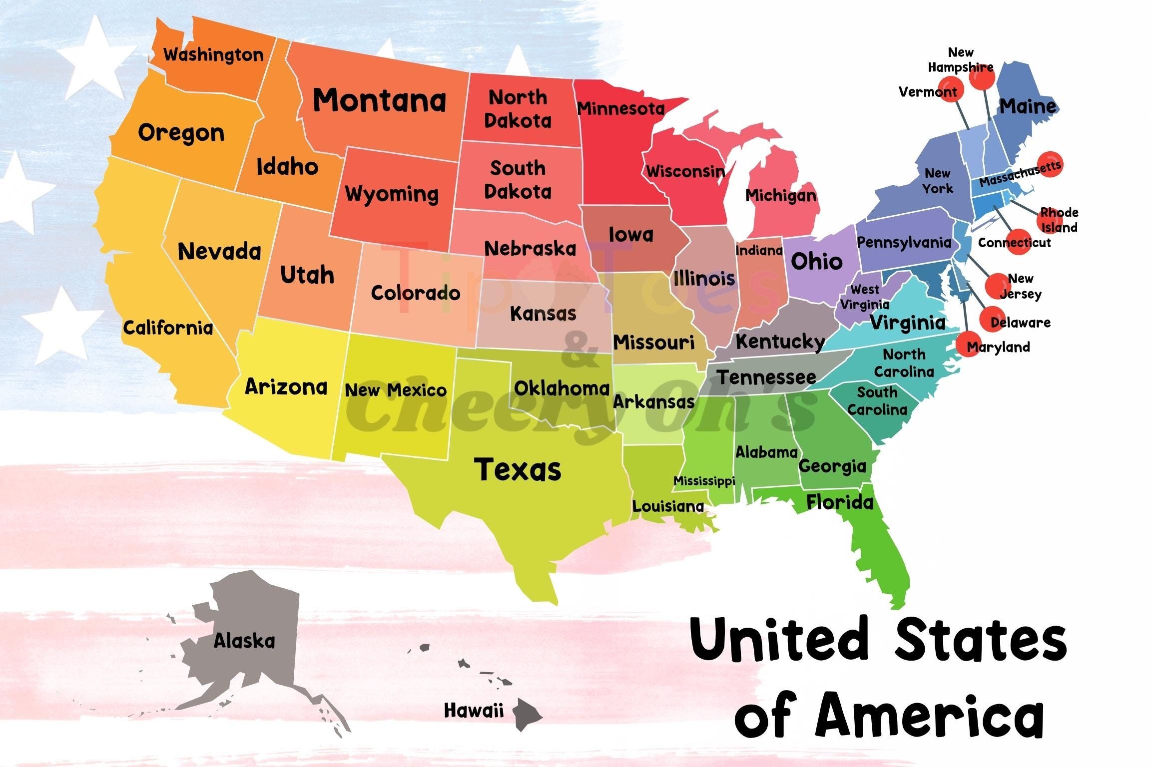
The Shape of America
Maps have shaped our understanding of America in fascinating ways. Here are some intriguing facts about how maps explain the United States.
- The U.S. is the third-largest country by land area, covering about 3.8 million square miles.
- Alaska is the largest state, making up about 17% of the total U.S. land area.
- Rhode Island is the smallest state, fitting into Alaska over 420 times.
- The contiguous U.S. is often depicted in a rectangular shape, but it actually has a more irregular outline.
- The Great Lakes contain about 84% of North America's fresh surface water.
Historical Maps
Historical maps reveal how America has evolved over time. They offer a glimpse into the past, showing territorial changes and exploration routes.
- The first map to name America was created by Martin Waldseemüller in 1507.
- Lewis and Clark's expedition produced one of the first detailed maps of the western U.S.
- The Mason-Dixon Line, surveyed in the 1760s, resolved a border dispute between Pennsylvania and Maryland.
- The 1803 Louisiana Purchase doubled the size of the U.S., adding 828,000 square miles.
- The Oregon Trail map guided thousands of settlers westward in the mid-1800s.
Geographic Oddities
America's geography includes some peculiar and unique features. These oddities often surprise even those familiar with the country.
- Four Corners is the only point in the U.S. where four states (Arizona, Colorado, New Mexico, Utah) meet.
- The U.S. has a town named "Boring" in Oregon, which is paired with "Dull" in Scotland.
- The shortest river in the world, the Roe River in Montana, is only 201 feet long.
- The longest river in the U.S., the Missouri River, stretches over 2,341 miles.
- Death Valley in California is the lowest point in North America, at 282 feet below sea level.
Population Distribution
Maps also illustrate how people are spread across the country. Population density varies greatly from one region to another.
- New York City is the most populous city, with over 8 million residents.
- Wyoming is the least populous state, with fewer than 600,000 people.
- The U.S. population is concentrated along the coasts, with the East Coast being particularly dense.
- Los Angeles County, California, has a population larger than 41 individual U.S. states.
- The U.S. Census Bureau uses maps to divide the country into over 3,000 counties and county-equivalents.
Natural Wonders
America's natural landscapes are diverse and breathtaking. Maps help us locate and appreciate these wonders.
- The Grand Canyon, carved by the Colorado River, is over 277 miles long.
- Yellowstone National Park, established in 1872, was the first national park in the world.
- The Appalachian Trail is the longest hiking-only trail, spanning 2,190 miles from Georgia to Maine.
- Mount Denali in Alaska is the highest peak in North America, standing at 20,310 feet.
- The Great Plains cover about one-fifth of the U.S., stretching from Texas to Canada.
Political Boundaries
Political maps define the borders and divisions within the U.S. These boundaries have significant historical and cultural implications.
- The U.S. is divided into 50 states, each with its own government.
- Washington, D.C., is a federal district, not a state, and serves as the nation's capital.
- Puerto Rico is a U.S. territory, with residents being U.S. citizens but lacking full voting rights.
- The U.S. has five major territories: Puerto Rico, Guam, American Samoa, the U.S. Virgin Islands, and the Northern Mariana Islands.
- The Electoral College map determines the outcome of presidential elections, with each state allocated a certain number of votes.
Climate Zones
Climate maps show the diverse weather patterns across the U.S. These zones affect everything from agriculture to lifestyle.
- The U.S. has nine distinct climate zones, ranging from arctic in Alaska to tropical in Hawaii.
- Tornado Alley, primarily in the central U.S., experiences the highest frequency of tornadoes.
- The Pacific Northwest is known for its temperate rainforest climate, with heavy rainfall and mild temperatures.
- The Southwest has a desert climate, characterized by hot summers and mild winters.
- The Great Plains experience extreme weather, with hot summers, cold winters, and frequent thunderstorms.
The Final Map Marker
Maps tell stories about America’s past, present, and future. From ancient cartography to modern GPS, they’ve shaped how we see the world. Maps reveal hidden histories, guide us through unknown territories, and even influence political boundaries. They’re more than just tools; they’re windows into our collective journey.
Understanding these 35 facts about maps offers a deeper appreciation for their role in shaping America. Whether it’s the first mapmakers charting new lands or today’s digital maps guiding our daily commutes, each map holds a piece of history. So next time you glance at a map, remember the rich tapestry of stories it represents. Maps are not just about directions; they’re about connections, discoveries, and the ever-evolving landscape of America. Keep exploring, and let maps continue to guide your adventures.
Frequently Asked Questions
Was this page helpful?
Our commitment to delivering trustworthy and engaging content is at the heart of what we do. Each fact on our site is contributed by real users like you, bringing a wealth of diverse insights and information. To ensure the highest standards of accuracy and reliability, our dedicated editors meticulously review each submission. This process guarantees that the facts we share are not only fascinating but also credible. Trust in our commitment to quality and authenticity as you explore and learn with us.